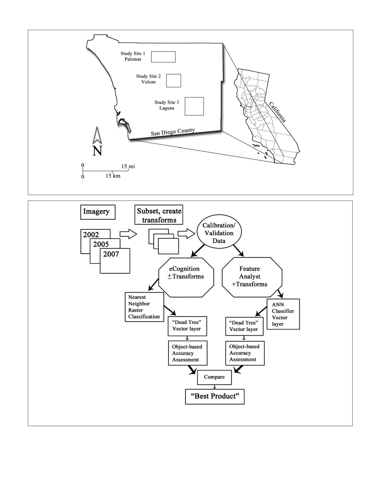
Figure 1. Map of general San Diego, County, California study areas showing the location of Palomar Mountain, Volcan Mountain, and
Laguna Mountain study sites.
Figure 2. Schematic demonstrating the general workflow of the remote sensing analysis for this study. Imagery from three different dates
was subset for each study area, and transforms were created and tested for each of the remote sensing programs. An object-based ac-
curacy assessment technique was applied to each classification product and then the products were compared.
1). These image data sets were selected because they were
readily available for the study areas, were of sufficient spatial
resolution to resolve individual conifer trees (live and dead),
and covered a time period when substantial forest mortal-
ity had occurred. One source of high spatial resolution (1 m)
imagery used to map and analyze dead trees was
USGS
Digital
PHOTOGRAMMETRIC ENGINEERING & REMOTE SENSING
July 2016
573


