PHOTOGRAMMETRIC ENGINEERING & REMOTE SENSING
March 2016
177
A N I N T E R V I E W
What part of the climb was the most dangerous and why?
There are many hazards on Denali. On the lower
mountain there are huge crevasses to be avoided. On the
upper mountain cold temperatures, avalanche danger and
altitude sickness are the biggest risk.
I would say our biggest risk on this trip was altitude
sickness. We were trying to take advantage of good
weather and moved up the mountain really quickly when
compared to standard trips. When coupled with the need
to summit twice, once to place equipment and once to
remove equipment, there was a real risk of someone on
the team getting AMS (acute mountain sickness), or the
more serious HAPE (high altitude pulmonary edema)
or HACE (high altitude cerebral edema). These altitude
illnesses are not only dangerous for trip success, but can
be life risks.
Were you ever afraid or in danger?
Overall I think we did a good job of managing the risk, so
no, I never felt excessively in danger or afraid. For our first
summit we left 14,000 feet in the morning with the goal of
summiting in the early afternoon. On my previous trips up
the mountain, and the standard practice, is to spend a few
days at 17,000 and then summit from there. Weather and
schedule considerations dictated our approach in one day
from 14,000 feet. I would say this was the most dangerous
part of the trip and the part that scarred me the most.
Having never done a climb of 6,300 feet in one day, I was
concerned about our health and also was afraid we would
fail. In the end, everything went well, it was just a long
and tiring day (14 hours of climbing round-trip).
What did it feel like, being up there so high and so
remote?
I love it up there. You only have to make a few decisions
every day, but each decision could be the difference
between life and death and project success or project
failure. It really reduces the garbage you think about to a
few key decisions.
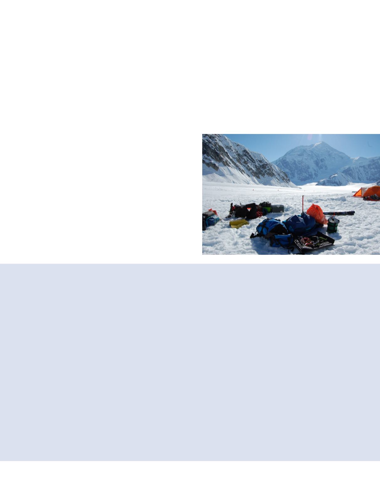
What type of equipment was used?
General Equipment
2 Mountain Hardware Trango 3 Tents (courtesy of
University of Alaska Fairbanks)
1 Hilliberg Keron 3 Tent as cook tent (courtesy of the
University of Alaska Fairbanks)
2 9.5 mm static ropes, 30 meters each
3 Black Diamond Transfer 3 Shovels
1 Metal Spade
3 MSR Whisper Lite Stoves
1 MSR XGK Stove
5 gallons white gas
21 days of food
Survey Equipment
2 Trimble R10 GNSS Systems (courtesy of Trimble)
1 Trimble NetR9 Receiver (courtesy of Trimble)
1 Trimble Zephyr Model 2 (courtesy of Trible)
2 one meter carbon Range Poles (both lower sections,
courtesy of Trimble)
1 custom geodetic Bi-Pod (courtesy of the University of
Alaska Fairbanks)
2 Lead Acid Motorcycle Batteries
2 Lead Acid Car Batteries
2 Trimble Battery Harness to go from R10 to Motorcycle
Battery
2 Trimble Battery Harness to go from R9 to Motorcycle
Battery
2 Antenna Cables to go from NetR9 to Zephyr-2 Antenna
1 Tank Antenna (stout avalanche probe used on the
summit. Courtesy of Mount Rainer NPS)
1 Torpedo Level


