PHOTOGRAMMETRIC ENGINEERING & REMOTE SENSING
September 2017
603
BOOK
REVIEW
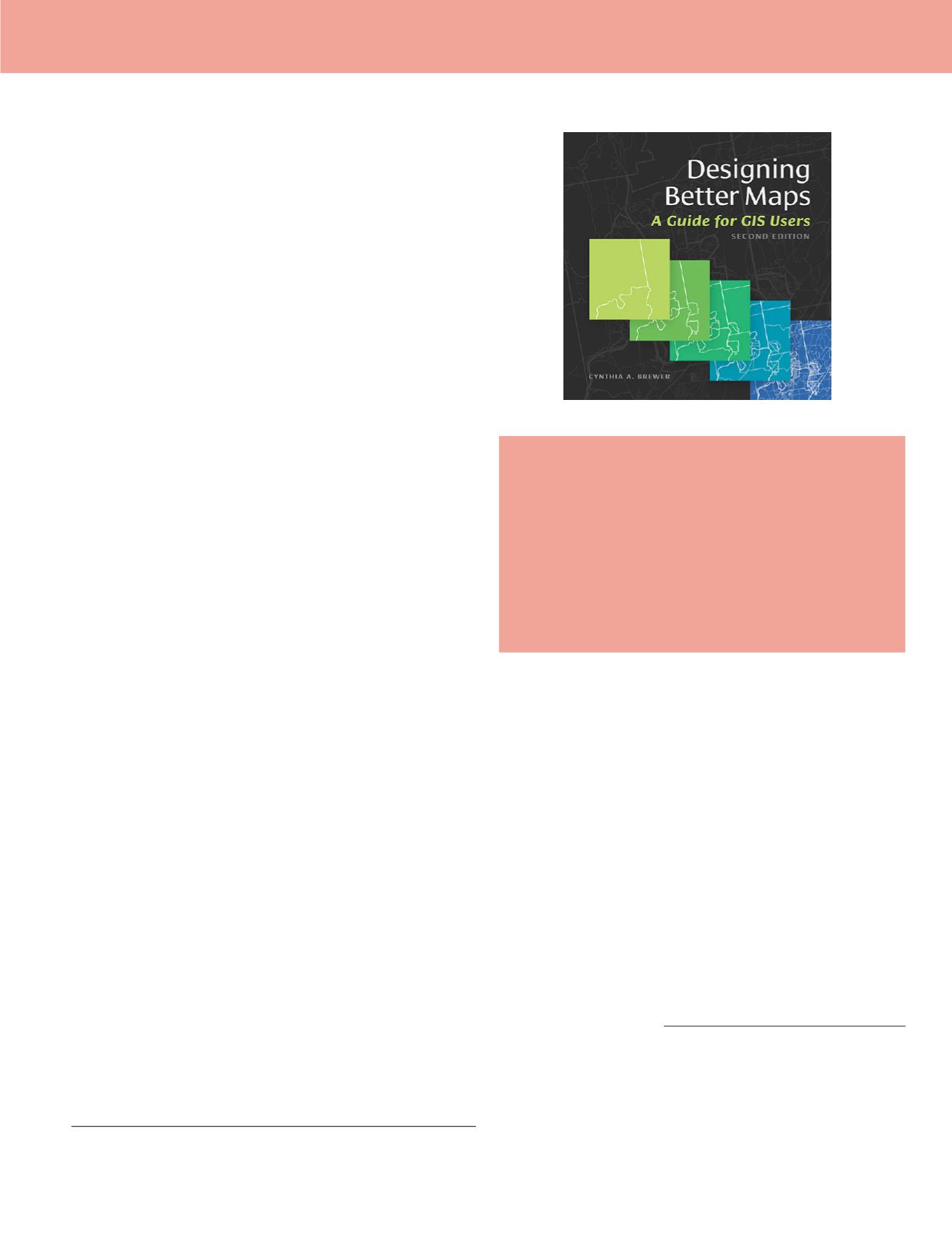
Designing Better Maps: A Guide for GIS
Users, 2nd Edition
Cynthia A. Brewer
Esri Press: Redlands, California. 2016. xvii and 231 pp., diagrams,
maps, photos, images, index. Softcover.
Reviewed by:
Ellie Maclin, M.S., M.B.A. GIS
Applications Analyst, Allworld Project Management,
Memphis TN.
Making Better Maps i
s a foray into the world of the 21
st
-cen-
tury cartographer, but there is more to this work than pretty
imagery and exacting label-making. Author Cynthia Brewer
is first and foremost concerned with the powerful analytical
tools that GIS provides – and with the responsibility that falls
on the mapmaker to represent analysis thoughtfully and fully.
The book’s preface acknowledges the advances of the decade
between the first edition and this second edition. Advances
in software, automation, online capabilities, and mapping
of large areas have altered both contents of the book and of
Brewer’s classroom discussions. As analytical tools have ex-
panded in the world of GIS, the capacity for well-intended,
accidental misrepresentation has also grown – and Brewer
both acknowledges and provides practical answers to these
concerns.
The book is not divided into sections but could be. Brewer
advises readers to start with identifying the map’s purpose
and audience as a means of designing the right map for the
right reason. Chapters 1, 2, and 3 cover Planning Maps, Base-
map Basics, and Explaining Maps – through carefully crafted
legends, text, and marginal content. Each of these chapters
goes into detail on the art of designing the best map for its
purpose – from what projection is appropriate in what context,
to create the clearest legend.
Chapter 4, Publishing and Sharing Maps, could stand alone
and actually be expanded as a full section if a 3rd edition is
forthcoming. Brewer’s experience shows through here, as she
delves into both the technicalities of publishing for the web and
the fine print of working within copyright laws in cartography.
Chapters 5 through 9 could function as a third section.
These chapters delve into the minutiae of mapmaking with a
true cartographer’s panache – full chapters on Type Basics (as
in font size and text effects), Color Basics, Color on Maps, and
Customizing Symbols. Though this may seem a little extreme
to the casual observer, those who have worked with any depth
in ESRI’s label and symbol customization interfaces will rec-
ognize the need for such detailed instruction. And though col-
or crafting is less laborious than it used to be, those who work
with remotely sensed imagery will appreciate Brewer’s atten-
tion to the importance of color use and standardization in a
final product that is both a powerful representation of data
and a visually pleasing piece of graphic design.
Making Better Maps e
nds with a single paragraph at the end
of Chapter 9 that functions as a quick conclusion, and many of
its figures are very obviously zoomed-in shots of much larger
maps. Though one could wish for a less hurried feel in such an
in-depth tome, Brewer puts the emphasis squarely on working
knowledge while eschewing “fluff” – and since this is a shared
trait of many of those I know in the GIS world, I can respect it
as a recognition of the audience more than a lack of care.
This book walks in the footsteps of such cartographic clas-
sics as How to Lie with Maps by Mark Monmonier
1
. Brewer is
not the first to put forth recommendations for best practices in
the realm of mapmaking, or to occasionally mistake personal
preference for a best practice recommendation. But overall,
this work provides an in-depth real-world application for both
beginning and practiced mapmakers.
Perhaps its most glaring shortcoming is emphasized by Mon-
monier’s 1991 work. Monmonier emphasizes the many ways
people use maps – for advertising, political propaganda and dis-
information, cultural reasons, or the mapping of data, for exam-
ple – and how those maps can guide or mislead. Brewer’s book
heavily emphasizes the mapping of data, with the result that
the book’s audiences of mapmakers are positioned as experts
with the responsibility and ability to map the state of the world
– whatever their subject matter – with an objective grasp of
1
How to Lie with Maps
,
2nd edition. Mark Monmonier. The Univer-
sity of Chicago Press. 1991. xiii and 207 pp.,.
continued on page
Photogrammetric Engineering & Remote Sensing
Vol. 83, No. 9, September 2017, pp. 603–608.
0099-1112/17/603–608
© 2017 American Society for Photogrammetry
and Remote Sensing
doi: 10.14358/PERS.83.9.603


