ASPRS Scholarship Application Deadline Announced
Application deadline has been extended to January 31 2016 ASPRS is pleased to offer twelve scholarship awards totaling more than $50,000 in value for undergraduate and graduate students working …
Application deadline has been extended to January 31 2016 ASPRS is pleased to offer twelve scholarship awards totaling more than $50,000 in value for undergraduate and graduate students working …
The program uniquely includes test course flights data processing workshops live demonstration and a strong technical program focused on “best practice” for collection and processing of data from UAS as well as a look to the future.
![]() The second annual UAS technical symposium sponsored the ASPRS announces the industry leaders in the UAS commercial industry who are confirmed for UAS MAPPING 2015 RENO! The program uniquely includes test course flights data processing workshops live demonstration and a strong technical program focused on “best practice” for collection and processing of data from UAS.
The second annual UAS technical symposium sponsored the ASPRS announces the industry leaders in the UAS commercial industry who are confirmed for UAS MAPPING 2015 RENO! The program uniquely includes test course flights data processing workshops live demonstration and a strong technical program focused on “best practice” for collection and processing of data from UAS.
The ASPRS 2016 Annual Conference IGTF 2016 is just around the corner so mark your calendars now and Save the Dates of April 11 – 15 2016 for IGTF 2016! Beginning on Monday April 11th and continuing through the week with sessions keynote speakers networking receptions the co-located JACIE Workshop and much more until Friday April 15 2016; the conference week is sure to provide many educational informational and networking opportunities for all attendees.
The American Society for Photogrammetry and Remote Sensing (ASPRS) has released a call for posters for the fast-approaching UAS MAPPING 2015 RENO symposium which will be held at the Reno Ballroom in downtown Reno Nevada on September 29-30. The symposium is focused on education and collaboration on UAS technology and its application to the survey mapping and remote sensing field. Industry experts from the private sector academia and the government will present practical information on flight planning mission control acquisition and data processing for data analysis and production of mapping products.
 The symposium program is announced for the second annual technical UAS MAPPING 2015 RENO symposium sponsored by the American Society for Photogrammetry and Remote Sensing (ASPRS). The dates of the conference are September 29 & 30 2015 at the Reno Ballroom in downtown Reno Nevada. In addition to the technical symposium ASPRS is also sponsoring a workshop on UAS Data Processing on Monday September 28 2015.
The symposium is focused on UAS mapping and this year’s program is organized to provide the latest information on UAS technology and software development as well as looking at ancillary issues that impact the UAS mapping industry.
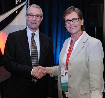 The results of the 2015 election have been tallied by the American Society for Photogrammetry and Remote Sensing (ASPRS) Tellers Committee and finalized that Rebecca Morton GeoWing Mapping Inc. won the election to become ASPRS Vice President for 2015. With the installation of officers at the IGTF 2015 – ASPRS Annual Conference in May E. Lynn Usery moves into the position of President; Charles Toth becomes President-Elect and Stewart Walker becomes Past President.
Rebecca Morton is President and CEO of GeoWing Mapping Inc. (GeoWing) based in San Francisco California. She founded the company in January of 2015 with the goal of offering both traditional photogram-metric mapping services as well as services related to unmanned aircraft systems (UAS). Her interest in UAS photogrammetry began several years before she started her company. She was impressed by the accessi-bility of the new technology and for the first time she could consider integrating and flying her own mapping cameras!
BETHESDA Md. June 2 2015 – The American Society for Photogrammetry and Remote Sensing (ASPRS) proudly announces the 2015 Outstanding Technical Achievement Award to Tom Barclay for the development of the Microsoft TerraServer. Stewart Walker immediate Past President presented Barclay with a silver plaque and a monetary grant at the IGTF 2015 – ASPRS Annual Conference in Tampa Florida along with a number of other Service Conference Management and Membership awards.
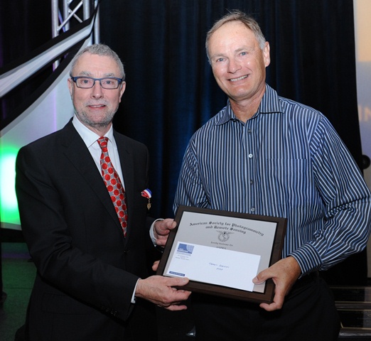 Barclay is currently partner architect and development manager of Bing Imagery Technologies and the Bing Search team at Microsoft. He has been with Microsoft Corporation since 1994 and was the lead researcher on Microsoft TerraServer. Prior to his career at Microsoft Barclay was a software consultant with Digital Equipment Corporation from 1976 to 1994. Barclay is interested in database design scientific computing and data mining.
BETHESDA Md. May 2 2015 – The American Society for Photogrammetry and Remote Sensing (ASPRS) and the ASPRS Foundation proudly announce J. B. Sharma as the recipient of the Leidos/Estes Memorial Teaching Award and Professor George Vosselman as the recipient of the Photogrammetric (Fairchild) Award. These and other awards were presented at the IGTF 2015 – ASPRS Annual Conference and co-located JACIE Workshop in Tampa Florida May 4 through 8 2015.
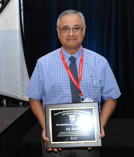 Sharma Winner of Leidos/ Estes Memorial Teaching Award
This year’s recipient of the Leidos/ Estes Memorial Teaching Award is J.B. Sharma. Sharma is a faculty member at the University of North Georgia (UNG) and is the Assistant Head of the Department of Physics.

Bethesda Md. May 28 2015 – The second annual technical UAS symposium sponsored by the American Society for Photogrammetry and Remote Sensing (ASPRS) is approaching (September 29-30)! The current fee for ASPRS members to attend the event is only $350. The current fee for non-ASPRS members to attend the event is only $400. Student rates are available. Exhibitors are provided an exhibit booth and benefits which include two complimentary registrations for only $650. All rates will increase on August 15 2015 so register now!

BETHESDA Md. April 10 2015 – UAS flyers are signing up to participate in the 2nd Annual UAS MAPPING Test Flights. Ten firms have already expressed their interest in putting their systems through the paces and many more firms are expected to join in! Flights will occur at the beautiful Turf Farm outside of Reno which hosted the test flights at the 2014 event. Organizations interested in performing test flights on the calibration range should contact Pierre le Roux at zpleroux@gmail.com.
BETHESDA Md. March 2 2015 – The American Society for Photogrammetry and Remote Sensing (ASPRS) is pleased to announce the release of the new Positional Accuracy Standards for Digital Geospatial Data. The new standards are available at: https://www.asprs.org/Standards-Activities.html.
The new ASPRS accuracy standards fill a critical need for map users and map makers alike. For centuries map scale and contour interval have been used as an indication of map accuracy. Users want to know how accurately they can measure different things on a map and map makers want to know how accurate maps need to be in order to satisfy user requirements. Those contracting for new maps depend on some form of map accuracy standard to evaluate the tradeoff between the accuracy required vs. how much time and expense are justified in achieving it and then to describe the accuracy of the result in a uniform way that is reliable defensible and repeatable.

Bethesda MD – The second annual technical UAS symposium sponsored by the American Society for Photogrammetry and Remote Sensing (ASPRS) is scheduled for September 29-30 2015 in Reno Nevada. Expanding on the highly successful format and events of last year’s symposium this year’s event will include test flights UAS data processing and workshops.
The extended schedule is:
Sat – 9/26 UAS Test Flights
Sun – 9/27 UAS Test Flights
Mon – 9/28 UAS Test Flight Data Processing Workshop (hosted by ASPRS)
Exhibit Set-Up
Opening Reception
Tues – 9/29 Symposium and Technical Demonstration – Reno Ballroom
UAS Live Demonstration
Wed – 9/30 Symposium and Technical Demonstration – Reno Ballroom
Thurs – 10/1 UAS Meetings and Workshops (open for vendors and agencies to host)
BETHESDA Md. Feb. 11 2015 – The Coalition of Geospatial Organizations (COGO) announces the release of its Report Card on the U.S. National Spatial Data Infrastructure (NSDI) that depicts the condition and performance of the nation’s geospatial “infrastructure” which includes surveyed mapped and remotely-sensed information.
The report card was developed by an expert panel chaired by The Honorable James E. Geringer former Governor of Wyoming with Dr. David J. Cowen John J. Moeller Dr. John D. Bossler Susan Carson Lambert The Honorable Tom D. Rust and The Honorable Robert T. Welch. COGO initiated this effort in 2009 by securing the commitment of the expert panel members who worked on a volunteer basis to produce this report.
BETHESDA Md. January 7 2015 – The United States Geological Survey (USGS) and the International Society for Photogrammetry and Remote Sensing (ISPRS) presented a number of prestigious awards during the Pecora 19 Symposium in conjunction with the Joint Symposium of ISPRS Technical Commission I and IAG Commission 4 in Denver Colorado November 17 – 20 2014.
On Tuesday November 18th Dr. Frank Kelly Director USGS EROS presented the 2014 William T. Pecora Awards. The William T. Pecora Award is presented annually to individuals or groups that make outstanding contributions toward understanding the Earth by means of remote sensing. The award is sponsored jointly by the Department of the Interior (DOI) and the National Aeronautics and Space Administration (NASA).
2014 Group Award – Landsat 8 Team – For outstanding contributions toward understanding the Earth’s land surface and surrounding coastal regions. The Landsat Data Continuity Mission was successfully launched on February 11 2013. Renamed Landsat 8 on May 30 2013 this mission continues the goals established by William Pecora and other visionaries 50 years ago. The Landsat 8 Team consisting of NASA USGS and industry partners has performed at the highest levels from the beginning of mission development to the present.
BETHESDA Md. December 22 2014 – The Pecora 19 Symposium in conjunction with the Joint Symposium of ISPRS Technical Commission I and IAG Commission 4 was held November 17 – 20 2014 at the Renaissance Denver Hotel in Denver Colorado with great success for all involved and in attendance.
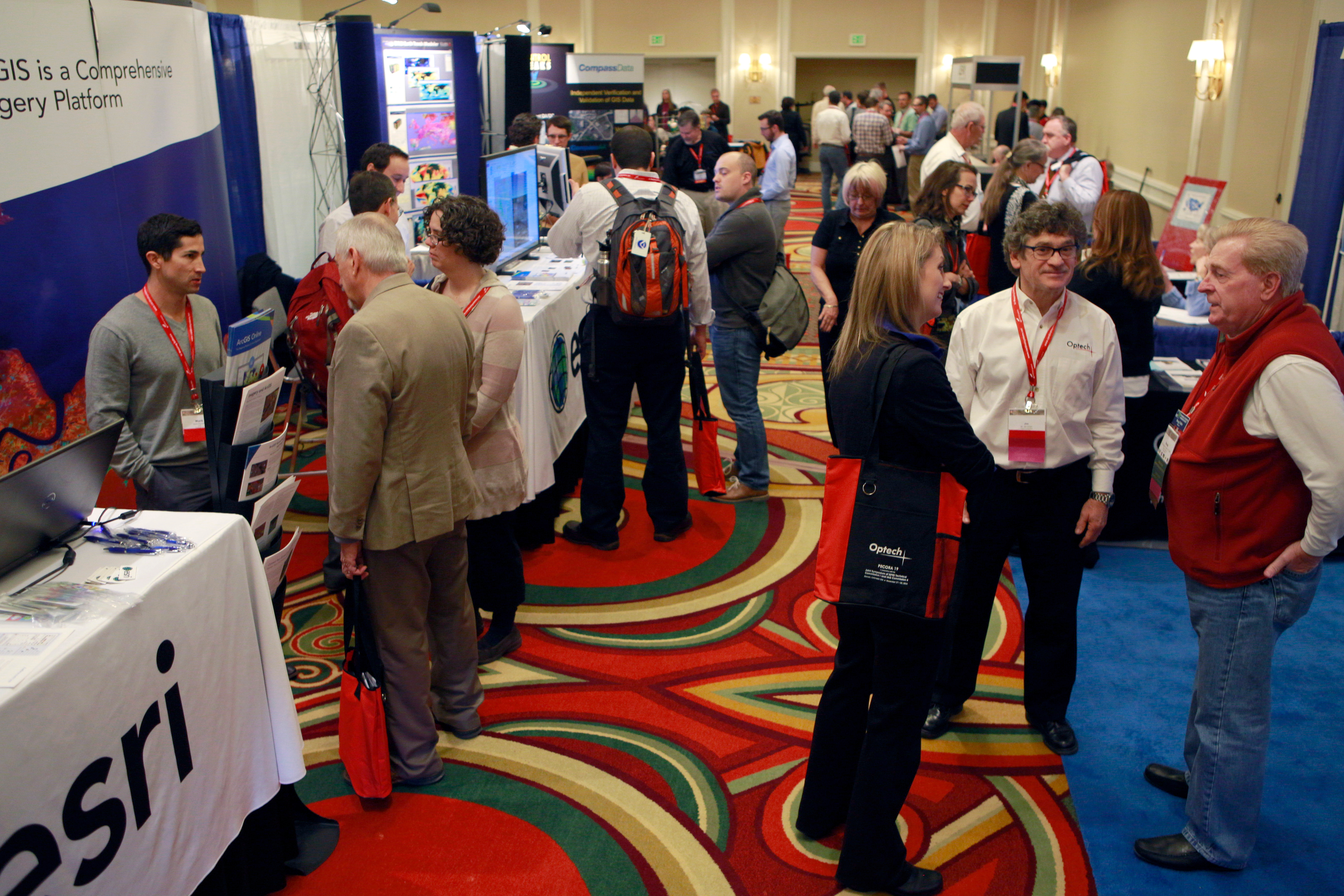 The Symposium welcomed over 480 attendees from more than 25 countries around the globe for a unique and thought provoking two and a half days of technical sessions. All industry segments were well represented with 39% of the attendee base from the Commercial side 29% from Academia and 32% from Government. More than 190 speakers presented in 35 sessions ranging in topic from “UAS and Data Analysis” to “Landsat and Sentinel” “Land Cover Change” “Mobile Mapping Technologies” and many more. “The caliber of sessions at this symposium has been the best I’ve experienced …” said one attendee.

BETHESDA Md. September 24 2014 – The first UAS technical symposium sponsored by the American Society for Photogrammetry and Remote Sensing (ASPRS) announces that industry leaders in the UAS commercial industry are onboard for UAS MAPPING 2014 RENO!
The technical program has been designed to provide practical information on sensor types and platforms as well as soup-to-nuts details on planning a mission controlling the mission flying the mission and processing the data. ASPRS is “The Imaging and Geospatial Information Society” and its members will be evaluating issues such as accuracy and data quality.
Technical presenters during the symposium include David Ward of Silent Falcon Dr. Bernd Lutz of Multirotor Service Drone Baptiste Tripard of senseFly Ruedi Wagner of Leica Geosystems Wolfgang Juchmann of Velodyne Antoine Martin of Pix4D Heather James of Kitware Dr. Hank Theiss of the National Geospatial Intelligence Agency David Dvorak of Field of View Vince Ambrosia of NASA Nazlin Kanji of AeroVironment to name a few.
BETHESDA Md. September 3 2014 – The first technical UAS symposium sponsored by the American Society for Photogrammetry and Remote Sensing (ASPRS) Northern California Region is approaching (October 21-22)! The deadline for early registration has been extended to allow attendees just learning about this exciting event to take advantage of low registration and exhibition fees. The current fee for ASPRS members to attend the event is only $250. The current fee for non-ASPRS members to attend the event is only $300. Exhibitors are provided an exhibit booth and benefits which include two complimentary registrations for only $600. All rates will go up in price on September 12 2014 so register now! Click Here to Register today.
BETHESDA Md. June 5 2014 – It is with deep sorrow that we inform you of the loss of a respected and long-time member Past President friend and mentor Carolyn Jean Merry PhD. retired Professor and Chair of the Department of Civil Environmental and Geodetic Engineering at The Ohio State University.
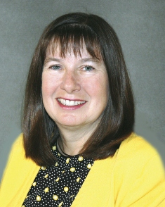 Merry was tragically killed on Tuesday June 3 2014 in a highway automobile crash in her home state of Ohio. The vehicle she was driving was struck from behind by a tractor trailer that failed to stop for traffic backed up due to an earlier crash.
ASPRS officers and staff members who worked with Merry remember her warmth calm demeanor and friendliness and were grateful for the reasoned advice she readily provided. “She was caring of officers and members of the Society very willing to participate in student sessions and gave selflessly of her time for the benefit of the Society and its members” said Stewart Walker ASPRS President.
BETHESDA Md. May 5 2014 – John R. Jensen and Stanley A. Morain were inducted as Honorary Members of the American Society for Photogrammetry and Remote Sensing (ASPRS) on Tuesday March 25 at the ASPRS 2014 Annual Conference in Louisville Kentucky.
Initiated in 1937 this life-time award is given for professional excellence in recognition of individuals who have rendered distinguished service to ASPRS and/or who have attained distinction in advancing the science and use of the geospatial information sciences. It is awarded for professional excellence and for at least 20 years of service to ASPRS.
Dr. John Jensen was made an ASPRS Honorary Member for his lasting contributions to the field of remote sensing and GIScience in the geographical environmental biophysical and urban sciences through his research publications leadership and undergraduate and graduate teaching. He taught hundreds of undergraduate students and mentored 62 Masters and 35 PhD graduate students to completion in the Department of Geography at the University of South Carolina. In effect he helped educate a generation of remote-sensing scientists who are now making significant contributions in academia government and industry.
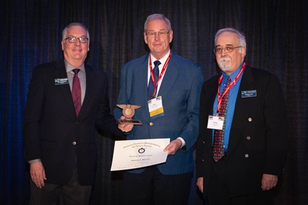 Dr. Stanley Morain was made an ASPRS Honorary member for his service of over 38 years Dr. Morain carved a distinguished career in remote sensing recognized locally nationally and internationally. His contributions focused on educating his students and developing professional ties to research communities in many developing countries on the applications of remote sensing in several societal benefit areas but primarily in agriculture transportation and public health. In pursuit of his vision he worked with many research teams and governments in Latin America Asia and Africa.
Dr. Jensen and Dr. Morain received their awards at the ASPRS 2014 Annual Conference in Louisville Kentucky on Tuesday March 25. The Honorary Member is the highest award an ASPRS member can receive and there are only 25 living Honorary Members of the Society at any given time. Candidates are chosen by a Nominating Committee made up of the past five recipients of the award and chaired by the most recent recipient. The award consists of a plaque and certificate and presented by the ASPRS Foundation.
BETHESDA Md. May 6 2014 — The American Society for Photogrammetry and Remote Sensing (ASPRS) proudly announces the following 2014 Outstanding Service Award Winners:
Clifford W. Greve PhD CP for his endowment of the Outstanding Technical Achievement Award and his foresight in establishing the award.
Lewis Graham for his leadership in establishing and leading the Lidar Division and sustained efforts to enhance the LAS file format specification as a geospatial industry standard.
David Alvarez for this leadership in establishing periodic GIS Division teleconferences and initiating a web-based seminar series with co-sponsorship from CaGIS and GLIS.
Roger E. Crystal for his sustained efforts as Membership Development Coordinator.
William G. Hemple for his long-term leadership and professionalism as Chair memorial Address Committee.
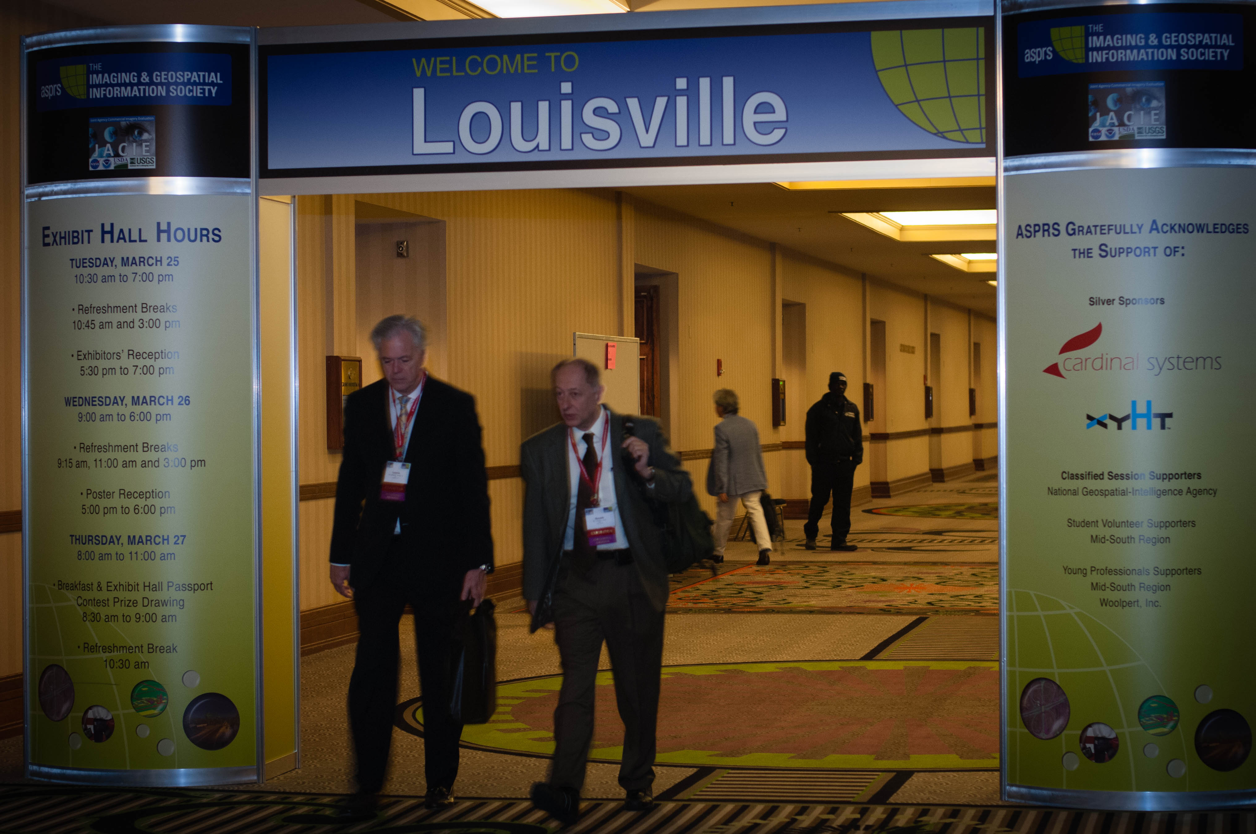 BETHESDA Md. May 6 2014 — The American Society for Photogrammetry and Remote Sensing (ASPRS) held their 2014 annual conference for the first time with the co-located Joint Agency Commercial Imagery Evaluation (JACIE) Workshop in Louisville Kentucky March 23 through 28 with great success and an effective partnership.
