ASPRS 2021 Annual Conference
ASPRS 2021 Virtual Conference March 29 - April 4, 2021! The American Society for Photogrammetry and Remote Sensing: The Imaging and Geospatial Information Society announces its 2021 Annual Conference to ...
ASPRS 2021 Workshop: Google Earth Engine Fundamentals with Hands-on Training
Instructor(s) Jeff Pu, SUNY-ESF and Dr. JB Sharma, University of North Georgia Cloud-based image processing platforms bring unprecedented possibilities for remote sensing education, research and outreach. This workshop will have ...
PSW & SDSU Spring Technical Meeting
Calling all Geographers, Drone Enthusiasts, Map Makers, Remote Sensing Scientists, Photogrammetrists, and Anyone Interested in Practical Applications of Geospatial Science and Technology! Please join the American Society for Photogrammetry and ...
ASPRS 2021 Workshop: Combining Deep Learning with Object Based Image Analysis
Instructor(s) Matthias Staengel,Trimble Recently, deep learning (DL) has become the fastest-growing trend in data analysis and has been widely and successfully applied to various feature extraction tasks. In the context ...
ASPRS 2021 Workshop: Practical Approach to Using the ASPRS Positional Accuracy Standards for Digital Geospatial Data
Instructor(s) Qassim Abdullah, Woolpert, Inc. and Claire Kiedrowski, Cornerstone Energy Services, Inc. This workshop provides an in-depth look at the ASPRS Positional Accuracy Standards to categorize positional accuracy of products ...
ASPRS 2021 Workshop: ELVIS: USGS NGP Lidar Research and Development Tool for Future 3DEP Lidar Accuracy Requirements
Instructor(s) Minsu Kim USGS NGP supports the research for accuracy assessment of 3DEP lidar point cloud to establish potential future accuracy requirements of 3DEP data. ELVIS is a research and ...
ASPRS 2021 Workshop: Automated Timber Cruising – Remote Sensing Meets Surveying
Instructor(s) Keith Peterson,Trimble eCognition is the original object-based image analysis (OBIA) software and has been used by industry leading data providers, value adders, remote sensing professionals, and earth observation scientists ...
ASPRS 2021 Workshop: Photogrammetry Meets Surveying
Have you ever tried to explain photogrammetry to your friends in 5 minutes? We will work you through the process of integrating high-level photogrammetric tasks into the palm of the ...
ASPRS 2021 Workshop: How to Handle Imagery Big Data to Generate Digital Twins
Instructor(s) Dr. Mohsen Miri,Trimble How large is Big Data in your imagination? How similar is your Digital World to the real one? The rapidly growing aerial mapping technologies lead to ...
ASPRS 2021 Workshop: Generic Sensor Model for Optical Line Scanners and Framers
Instructor(s) Dr. Henry (Hank) Theiss, University of Arkansas and Dr. Reuben Settergren, BAE Systems The goal of this workshop is to improve the participants’ understanding of the properties of sensor ...
ASPRS 2021 Workshop: Preparation for ASPRS Certification – Lidar
Instructor(s) Karl Heidemann, CMS, Retired USGS This workshop provides an in-depth review of content contained in the ASPRS Airborne Topographic Lidar Manual. It is valuable for those planning to take the ...
ASPRS 2021 Workshop: UNet Deep Learning Image Classification using the ArcGIS Pro Image Analyst Extension
Instructor(s) Amr Abd-Elrahman, University of Florida This workshop introduces: Pixel- and object-based image classification using traditional (Support Vector Machine and Random Forests) machine learning algorithms Building models for data preparation ...
Pacific Southwest Region Spring Technical Meeting #2
Please join the American Society for Photogrammetry and Remote Sensing (ASPRS) Pacific Southwest (PSW) Region of ASPRS on Thursday, May 20th, 2021 for our 2nd Spring Technical Meeting. It will ...
ASPRS 2021 Workshop: Aerial Triangulation and Data Processing for the Unmanned Aerial System (UAS)
Instructor(s) Dr. Qassim Abdullah, Woolpert and Dr. Riadh Munjy, CSU Fresno This workshop teaches participants to successfully design, plan and execute an aerial mission using unmanned aerial systems (UAS) and ...
Earth Archive Virtual Congress
Day One will focus on understanding the current state of Amazon mapping along with outlining the contributions that Earth Archive data can make in improving current understandings of Amazonian socio-natural ...
10th UF/FL-ASPRS Joint LiDAR Workshop
The Florida Region of the American Society for Photogrammetry and Remote Sensing (FL-ASPRS) and University of Florida/Geomatics Department will be conducting the UF/FL-ASPRS VIRTUAL SPRING 2021 Lidar Workshop via ZOOM ...
ECPC Webinar: Job Interview Tips
You’ve Landed an Interview: Now What? Advice and Tips from Hiring Managers. Register Now
Gulf South Region Member Meeting
The ASPRS Gulf South Region will be holding its first EVER member meeting on June 21st at 5:00pm CDT. There will be a brief induction ceremony for the new officers ...
Ortho Mapping in ArcGIS Pro
Register Now
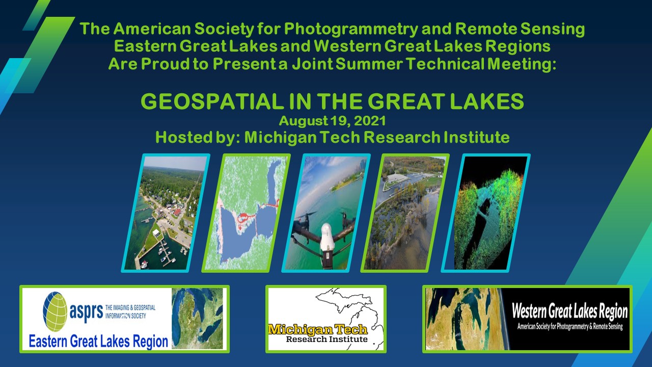
EGLR WGLR Meeting: Geospatial in the Great Lakes
Register Now
2021 Florida Region Summer SAR Workshop
Register Now
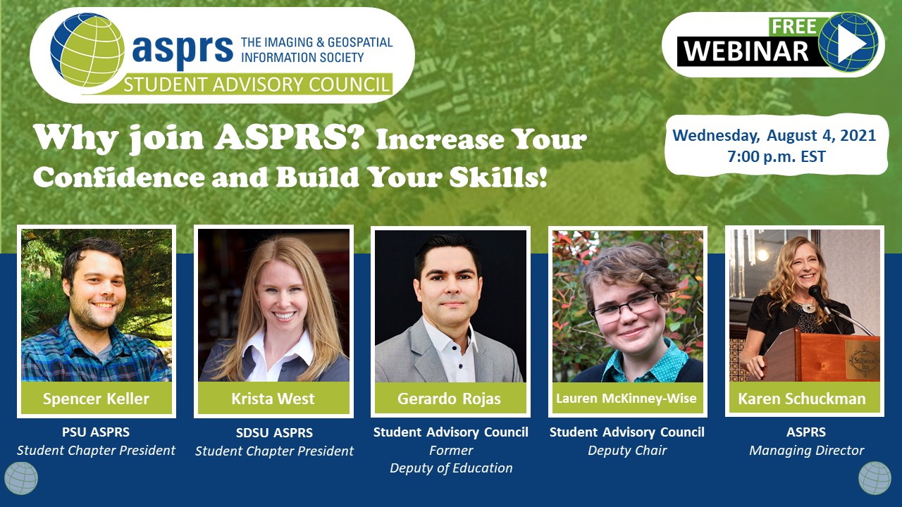
SAC Leadership Webinar
Register Now


