614
July 2014
PHOTOGRAMMETRIC ENGINEERING & REMOTE SENSING
INDUSTRY
NEWS
To have your press release published in
PE&RS
, contact Rae Kelley,
.
ANNOUNCEMENT
Optech Celebrates 40 Years of Lidar Innovation --
Optech
is pleased to announce that it is celebrating 40 years of lidar
technology innovation. To mark the occasion, Optech is paying
tribute to the incredible partnership with our clients over the
years, from the first commercial lidar systems in the world,
to solutions for bathymetry and UAVs. Without our valued
clients, none of this would have been possible. Acknowledging
decades of hard work, a celebration was held at Niagara Falls,
including an exhibition of projects and the evolution of Optech
lidar technology that has supported clients over the last 40
years.
Lasers were barely out of their infancy in the late 1960s,
yet founder Dr. Allan Carswell saw their potential for
revolutionizing remote sensing and began developing prototype
lidars at York University, Canada. Government agencies
were quick to see the benefits of this pioneering technology
and, to keep up with the growing demand, Dr. Carswell
founded Optech in 1974. Optech has developed lidar and
imaging systems for a multitude of clients and their specific
applications, with several resulting in major contributions to
the remote sensing industry.
This pioneering start with continued innovation to meet
client needs has enabled Optech to develop products such
as CZMIL for seamless topo/bathy even in turbid water
conditions, the compact Orion, the LMS automated workflow
software for both airborne and mobile sensor data, and Lynx
for capturing engineering-grade 3D data from vehicles moving
at highway speeds.
“Optech has benefitted from many outstanding experiences
over the last 40 years,” said Dr. Carswell, “from creating the
first lidar-derived bathymetric charts to putting the first lidar
on the surface of Mars onboard the NASA Phoenix Mission. As
a new member of the Teledyne family of companies, Optech is
entering a new era of continued innovation and development,
with ever more exciting active and passive sensor solutions to
meet real-world project requirements. I would like to thank
our clients around the world for their contributions to our
success, and promise them that the best is yet to come!”
please contact your Regional Sales Manager or inquiries@
optech.com.
APPLICATIONS
Flying Potato Fields for Precision Agriculture using
UAS.
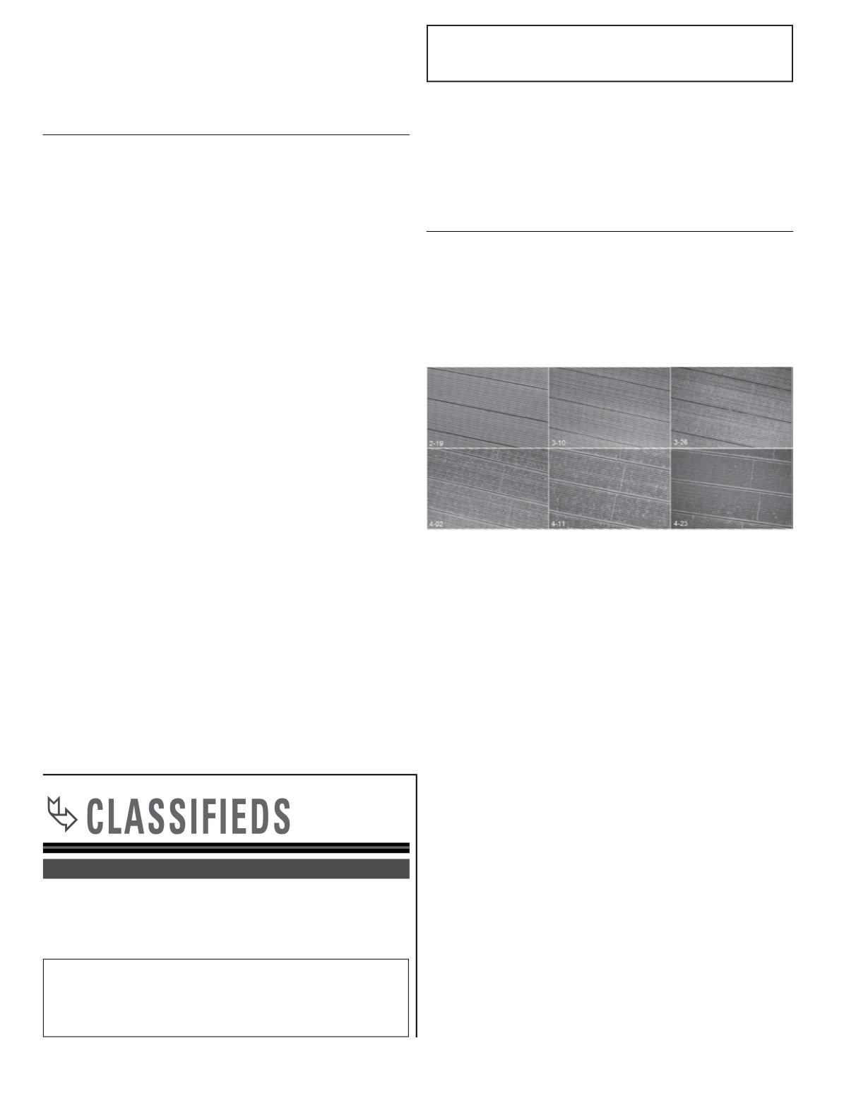
Recently a potato grower in Hastings, FL used Altavian’s
Nova F6500 technology in order to fly his potato field at
intervals during the growth phase of his crop. The project was
flown six times during the 2014 growing season developing 2
cm Ground Sample Distance (GSD) orthoimagery and LAS file
format 3D point clouds. The information derived was able to
assist the farmer with determining the precise location needed
to administer applications of pesticides and fertilizer in his
fields. UAS technology is now providing an economy of scale
enabling farmers to obtain large scale mapping data. This
family-owned farm supplies their potatoes to a number of well-
known potato chip brands throughout the U.S. For more
information, contact
.
MDA expands imaging modes for RADARSAT-2. MDA’s
Information Systems group has commercially launched a
unique new imaging mode for RADARSAT-2. This Extra-Fine
mode provides an unprecedented ability to capture exceptional
resolution imagery over large areas, providing a capability
that is ideally suited to support monitoring large areas coupled
with identifying detailed changes. The Extra-Fine imaging
mode is able to provide single polarization synthetic aperture
radar (SAR) imagery at a 5 meter resolution, over a 125 km x
125 km area (or 15,625 km
2
per scene).
The RADARSAT-2 satellite has global high-resolution
surveillance capabilities that include a large collection
capacity and high accuracy. The satellite acquires data
regardless of light or weather condition, provides frequent re-
visit imaging options, and is supported by ground receiving
stations that provide near real-time information delivery
services. This versatility makes RADARSAT-2 a reliable
source of information in multi-faceted intelligence surveillance
and monitoring programs. For more information, visit www.
mdacorporation.com.
EMPLOYMENT
Tetra Tech is seeking a LiDAR Analyst in Lafayette,
CA. Please visit
.
Job code: DIV LCC LkDAR SC.
PLACING A CLASSIFIED AD
ı
C
lassified ads can be placed by
contacting Brooke King, Mohanna Sales Rep, (214) 291-3653,


