PHOTOGRAMMETRIC ENGINEERING & REMOTE SENSING
August 2017
537
by
Clifford J. Mugnier, CP, CMS, FASPRS
T
he ancient kingdom of Chosŏn was estab-
lished in the northern part of the peninsu-
la during the third millennium B.C. Bud-
dhism was introduced in the fourth century A.D.,
which the Koreans then carried to Japan. The
Yi dynasty ruled the kingdom from the capital at
Seoul from 1392-1910. Korea was forced to grant
a treaty opening its ports to Japan in 1876. In re-
sisting Chinese control, Korea was the focus of the
Chinese-Japanese War of 1894-95, and further ri-
valry over Korea resulted in the Russo-Japanese
War of 1904-05. (Someday I’ll write about some
fascinating geodetic history from that latter war.)
Korea became a Japanese protectorate in 1905
and was annexed as a province in 1910. In 1945,
after World War II, Korea was brought under the
temporary protection of the USSR and the United
States. The two zones of occupation were divided
at the 38th parallel, and that line continues to di-
vide the peninsula’s politics.
The first geodetic datum used in Korea was the To-
kyo Datum of 1892 where: Φ
o
= 35° 39´ 17.515˝ North,
Λ
o
= 139° 44´ 30.097˝ East of Greenwich. The defining azimuth
was determined from the old Tokyo Observatory at Azabu to
station Kanoyama (Kano Mountain) as: α
o
= 156° 25´ 28.44˝.
The Tokyo Datum of 1892 is referenced to the Bessel 1841 el-
lipsoid where the semi-major axis (a) = 6,377,397.155 meters
and the reciprocal of flattening (
1
/
f
) = 299.1528128. Geodetic
surveys started in Korea in 1910, and 13 baseline measure-
ments were completed by 1918. During this time, 400 first-or-
der, 2,401 second-order, and 31,646 third-order triangulation
stations were established in all of the Korean Peninsula. The
number of stations in South Korea totaled 16,089. Five tide
stations were used for the establishment of the vertical da-
tum to local mean sea level, and 6,629 kilometers of leveling
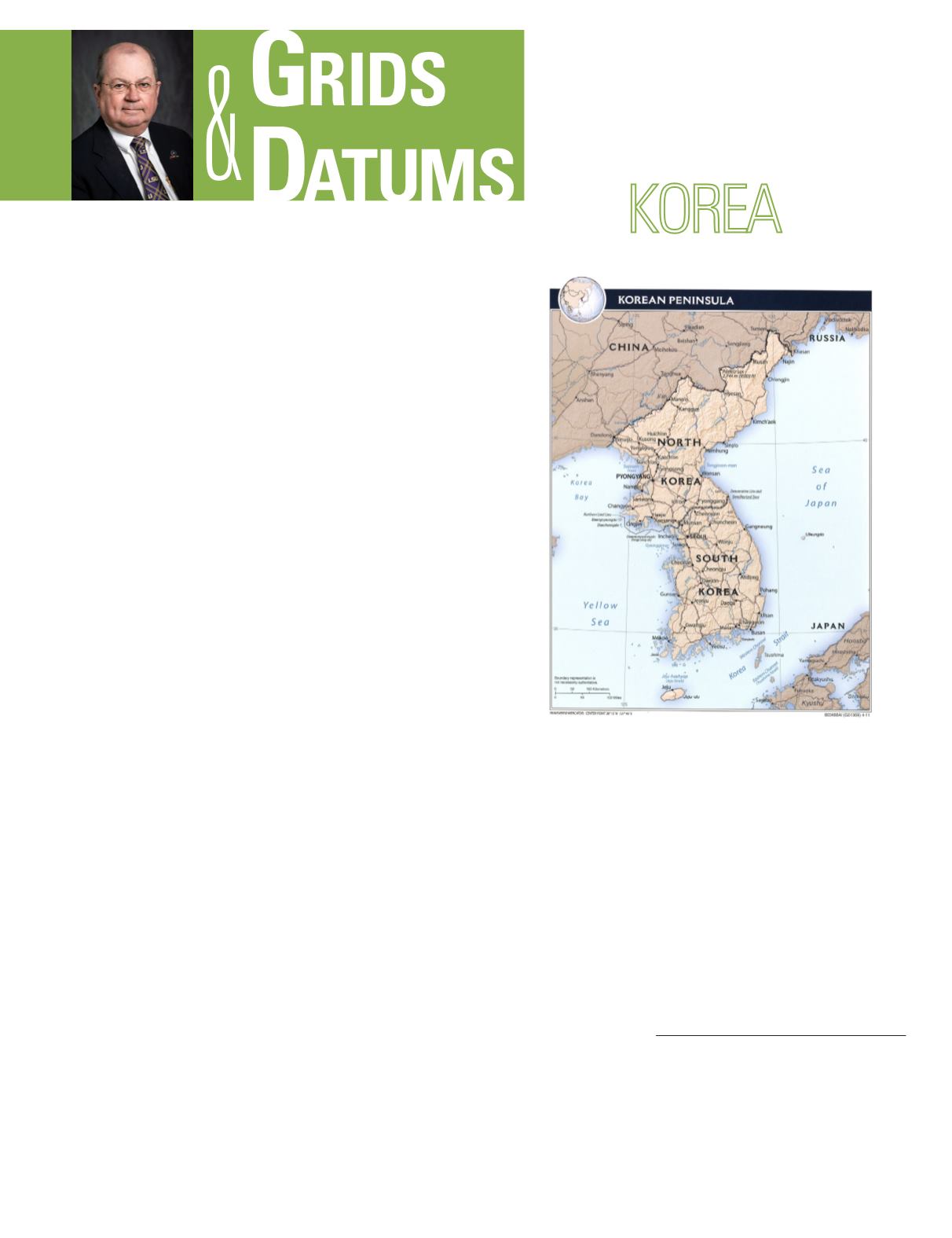
THE REPUBLIC OF
The Grids & Datums column has completed an exploration of
every country on the Earth. For those who did not get to enjoy this
world tour the first time,
PE&RS
is reprinting prior articles from
the column. This month’s article on the Republic of Korea
was
originally printed in 1999 but contains updates to their coordinate
system since then.
were run. The original triangulation was the Datum for the
Old Cadastral Grids based on the Gauss - Schreiber Trans-
verse Mercator formulae. The three belts were East, Central,
and West with Central Meridians (λ
o
) = 129°, 127°, and 125°
East of Greenwich, respectively. The False Northing Latitude
of Origin was 38° North, the False Northing = 500 km., the
False Easting = 200 km. For all three belts, the Scale Factor
at Origin (m
o
) = 1.0. Note that these narrow belts used the
simpler Gauss - Schreiber formulae for the Transverse Mer-
cator, the same as the U.S. Coast and Geodetic Survey later
did in the 1930’s for the NAD 1927 State Plane Coordinate
Systems. The Tokyo Datum of 1918 was later adopted for use
in Korea, but the Cadastral Grids were NOT changed to ac-
commodate that new system. The only difference between the
Photogrammetric Engineering & Remote Sensing
Vol. 83, No. 8, August 2017, pp. 537–539.
0099-1112/17/537–539
© 2017 American Society for Photogrammetry
and Remote Sensing
doi: 10.14358/PERS.83.8.539


