PHOTOGRAMMETRIC ENGINEERING & REMOTE SENSING
February 2017
81
by
Clifford J. Mugnier, CP, CMS, FASPRS
S
ir Isaac Newton said that the Earth is flat-
tened at the poles (oblate ellipsoid). But Mon-
sieur Jacques Cassini said that the Earth is
prolonged at the poles (prolate ellipsoid). To help
settle the argument, the French mission to Quito,
which started in 1735, was intended to determine
the length of a degree of latitude. The survey was
under the direction of Charles-Marie de la Con-
damine with Louis Godin and Pierre Bouguer of
France. The Spanish representatives included Cap-
tain Jorge Juan y Santacilla, Captain Antonio de
Ulloa (later Governor of Louisiana), and Don Pedro
Vicente Maldonado y Sotomayor, a local gentleman
of Riobamba, Ecuador. The Frenchmission took ten
years to triangulate the 200-kilometer meridional
arc from Tarqui (near Cuenca) to Cotchasqui and
the French expedition proved, to their chagrin, that
the Englishman’s theory was correct! The survey is
known as the French Mission Datum which found
that: a = 6,397,300 meters and
1
/
f
= 216.8. Another
result of the observations was the “toise of Peru,”
a standard of linear measurement subsequently
used in France. Simón Bolívar later liberated South
America from the Spanish Crown, and Ecuador was
established as a Republic in 1830. No further geo-
detic surveys were undertaken for almost 200 years
after the French Mission Datum was completed,
and it was never later used for mapping.
On 30 June 1927, the Technical Commission for the “Survey
of the National Topographic Map” was created in Ecuador to
coordinate the various existing systems of geographic and plane
rectangular coordinates being employed for official engineering
applications. There seems to be no surviving record of those
earlier systems. On 11 April 1928, the Servicio Geográfico
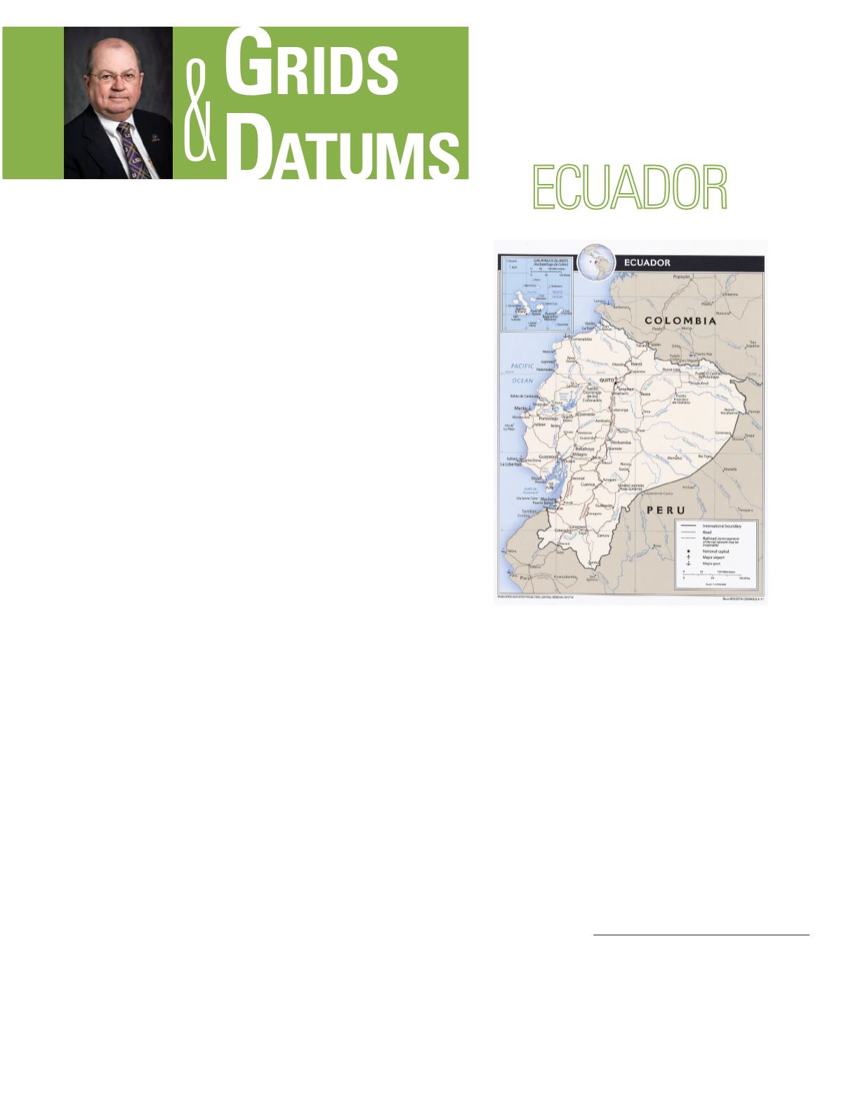
THE REPUBLIC OF
The Grids & Datums column has completed an exploration of
every country on the Earth. For those who did not get to enjoy this
world tour the first time,
PE&RS
is reprinting prior articles from
the column. This month’s article on the Republic of Ecuador
was
originally printed in 1999 but contains updates to their coordinate
system since then.
Militar (SGM), “Military Geographic Service,” was tasked with
the actual job of implementing that survey. The origin of the
Ecuador Datumof 1928 was at the Astronomical Observatory of
Quito, where: Φ
o
= 00° 12´ 47.313˝ South, Λ
o
= 78° 30´ 10.331˝
West of Greenwich, and ho = 2,908 meters. The International
ellipsoid (also called the Hayford 1909 and the Madrid 1924),
was used where: a = 6,378,388 meters,
1
/
f
= 297. The defining
azimuth from the Datum origin has been lost, but that old
observatory is still there in a downtown park. The Ecuadorian
Army started their 1:20,000 map series (20meter contour
interval) with the ellipsoidal Flamsteed projection, and the
sheets were cast on the graticule without a grid overprint. (The
Flamsteed is a sinusoidal projection tangent at the equator.)
The sheet line intervals were at integer minutes of longitude
(east and west) from the meridian of the Quito Observatory
and at integer minutes of latitude (north and south) from the
equator. The initial mapping on the Ecuador Datum of 1928
started south of Quito in Riobamba, Maldonado’s home town.
Photogrammetric Engineering & Remote Sensing
Vol. 83, No. 2, February 2017, pp. 81–84.
0099-1112/17/81–84
© 2017 American Society for Photogrammetry
and Remote Sensing
doi: 10.14358/PERS.83.2.84


