258
April 2015
PHOTOGRAMMETRIC ENGINEERING & REMOTE SENSING
I
ntroduction
—C
onflict
D
iamonds
, A
rtisanal
M
ining
,
and
R
emote
S
ensing
Remote sensing technology is advancing at an unprecedented
rate. At the forefront of the new technological developments
are unmanned aircraft systems (UAS). The advent of small,
lightweight, low-cost, anduser-friendlyUAS is greatly expanding
the potential applications of remote sensing technology and
improving the set of tools available to researchers seeking to
map and monitor terrain from above. In this article, we explore
the applications of a small UAS for mapping informal diamond
mining sites in Africa. We found that this technology provides
aerial imagery of unparalleled resolution in a data-sparse,
difficult to access, and remote terrain.
This work stems from a long-term project carried out by the
U.S. Geological Survey (USGS), the U.S. Department of State
(DOS), and the U.S. Agency for International Development
(USAID) in support of the Kimberley Process (KP), an
international initiative aimed at preventing the flow of conflict
diamonds. Concerns that natural resources were being used to
fund conflicts first surfaced in the late 1990s and early 2000s
during the brutal civil wars in Sierra Leone, Liberia, and
Angola. During these conflicts, profits from diamond mining
were exploited by rebel groups to purchase arms and finance
the wars (Le Billon, 2008). The terms “blood diamonds” and
“conflict diamonds” evolved as a result and were popularized to
describe such scenarios. In an effort to halt the trade of conflict
diamonds, the KP was initiated in 2003 to impose and enforce
regulations on diamond producing, importing, and exporting
countries. As of 2014, 81 countries were members of the KP.
Countries whose diamonds are produced through artisanal
and small-scale mining (ASM), an activity in which individuals
use only simple tools to mine, face unique challenges in
adhering to the KP’s regulations. ASM sites are often remote
and spread over vast territories, and the diamonds found are
frequently sold into informal networks, making it very difficult
to track production – a key requirement of the KP. To support
the KP and DOS in monitoring efforts, the USGS has been
conducting country-scale diamond resource and production
assessments in West and Central Africa since 2007.
In recent years, there has been an increased push by
national governments and the international development
community to formalize ASM. Formalization involves
legalizing ASM, registering miners, delineating mining zones,
and establishing a legal flow chain through which production
is intended to move. The ability to map and monitor artisanal
diamond mining sites is a necessary step towards achieving
formalization. Doing so helps to identify where mining is
taking place, the extent of activities, the amount of production,
and how the activity and production change over time. The
USGS is currently spearheading research on the applications
of remote sensing technologies for mapping artisanal diamond
mining sites. The USGS is using high-resolution panchromatic
and multispectral satellite imagery, in combination with field
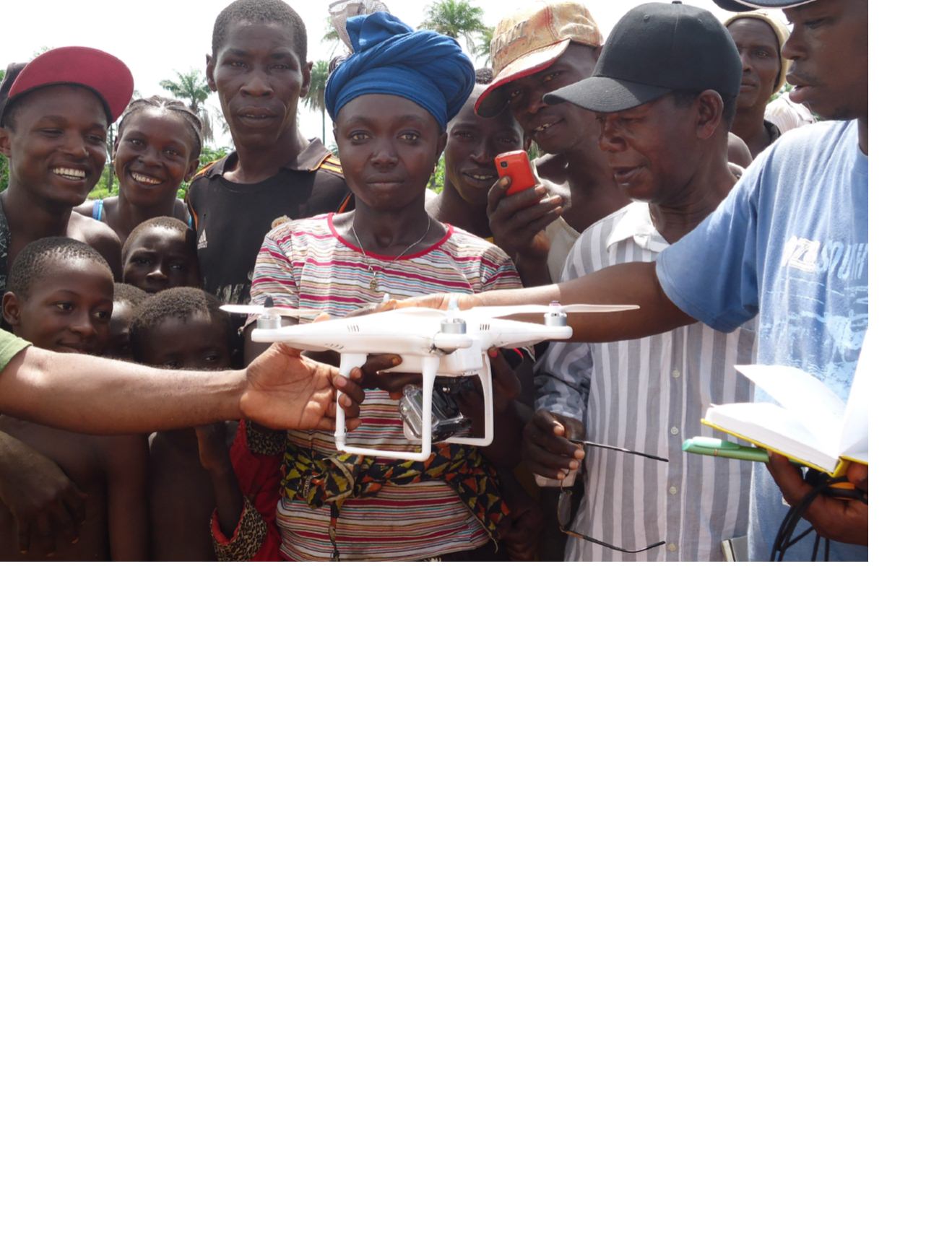
Courtesy of Souleymane Diallo (USAID PRADDII).


