186
March 2015
PHOTOGRAMMETRIC ENGINEERING & REMOTE SENSING
PROFESSIONAL
INSIGHT
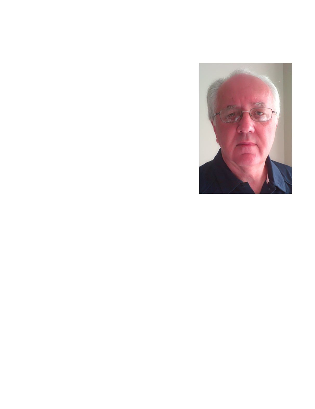
Sheldon Piepenburg joined ASPRS last September as Staff Director
of Special Programs. He had just retired from Digital Globe, but
desired to stay active in the profession. As you will see from his
interview, Sheldon is a seasoned business development executive
who has been around the block, but who is also full of new ideas.
His most critical role at ASPRS is to be a headquarters liaison
and resource for sustaining members. In this capacity he has been
meeting with existing sustaining members to learn about their
needs so ASPRS can develop a strong program to support them. His
focus is on improving the value proposition for existing members,
and recruiting new members. Sheldon handles other special
programs and initiatives, too. For example, has been organizing
ASPRS’s considerable portfolio of technical workshops into a
continuing education curriculum. He has been active in building
the UAS Division, and extending ASPRS’s relationships with
FAA, the Civil Air Patrol, and other government organizations.
Of course, many of you know Sheldon as the person twisting your
arm to exhibit at IGTF, the ASPRS annual meeting. Whether or
not you already know Sheldon, or have simply heard of him from
his well-regarded reputation in the industry, you may learn with
surprise about some of his many accomplishments revealed in this
interview.
SHELDON PIEPENBURG
I N T E R V I E W
What is your favorite beer?
Interesting opening question, Arrogant Bastard Ale is one of
my favorite beers, as is the BrewBrothers Carano Extra, but
since I may be on a track to opening my own craft brewery
I may have to reserve my right to change my answer.
While at ASU, Arizona State University, you were elected
to the Red Baron Geographical Society. What is the Red
Baron Geological Society?
This is a tongue and cheek society for sure, very private
and open only to ASU Geography Grad students who stay
overnight near the Salton Sea as part of their graduate
study/field trips.
How did you become a liasion with the CIA?
One of my assignments at Rand McNally was specific to the
advances being made in automated cartography. In those
early days, there were similar requirements to printing
small scale maps. Cartographers and the companies they
worked for all shared information. The CIA had two unclas-
sified digital sources named appropriatelyWorld Data Bank
l and World Data Bank ll. I became a liaison between Rand
McNally and the CIA to provide some of Rand McNally’s
world gazetteer information to those unclassified data sets.
You were appointed to represent ERDAS during a meeting
at the UN, why?
The UN has a rather large need to consume imagery. I
assisted the UN in establishing internal training on ERDAS
products so their staff could make the most of the imagery
available.
How did you help establish the Rochester Institute of
Technology (RIT) as an Imagery Centre of Excellence?
ERDAS/Leica Geosystems was one of two companies invited
to bid on providing software to a program the Rochester
Institute of Technology won. The program was to develop
a multi sensor wildfire mapping camera for the US Forest
Service. The program was known as WASP, Wildfire
Airborne Sensor Program. ERDAS/Leica Geosystems
offered to customize components from their LPS software
to perform the real time orthorectification of the imagery on
board the airborne processing unit. I was the ERDAS/Leica
Geosystems account manager and as part of that program
RIT was recognized as an Imagery Center of Excellence.


