PHOTOGRAMMETRIC ENGINEERING & REMOTE SENSING
March 2015
179
a nationwide consortium for remote
sensing education, research, and geospatial applications),
has supported state and national efforts to promote geo-
spatial literacy by providing opportunities to network with
members in other states who share common interests.
This article outlines the efforts of Virginia Tech, Virginia-
View and a consortium of partners (Figure 1) to advance
geospatial integration with K-12 educational initiatives,
higher education, and workforce development. Further-
more, the authors share some of the challenges, lessons
learned, and innovative educational approaches that were
implemented to facilitate geospatial education.
These programs target both formal and informal edu-
cators (including K-12 teachers and 4-H leaders), high-
er education faculty, and professionals to help meet the
industry’s demand for a workforce and general citizenry
knowledgeable in geospatial technologies. This approach
is vital, because it recognizes that everyone is a student:
children in kindergarten through young adults in graduate
school, professionals who can benefit from gaining geo-
spatial skills or who are seeking to change careers, high
school graduates seeking their first job, and returning
U.S. veterans. These programming efforts utilize all levels
of instructors -- high school teachers, community college
instructors, undergraduate and graduate students, uni-
versity faculty, and other professionals (Figure 2).
Supporting Virginia’s Educational Pipeline
Educational programming in Virginia can best be described
as a three-tiered approach, and includes K-12 curricula,
higher education initiatives, and workforce development
programs geared towards non-educational professionals. A
basic strategy starts with initiatives involving basic con-
cepts and themes at the elementary level, and then ex-
pands on those themes as the initiatives progress through
middle school, high school and into college, and with work-
force development occurring at multiple levels (Figure 3).
Other outreach initiatives, including mentoring programs
and general public educational venues, are provided to fur-
ther encourage the adoption of geospatial tools.
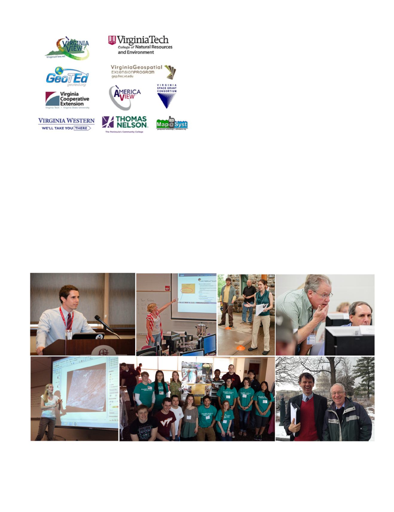
Figure 2. Instructors: upper left – Eric Guenther (Virginia Tech undergraduate student) a video narrator; next upper - Tammy Parece
(Virginia Tech Ph.D. Candidate) at a Virginia Western Community College Workshop; 3
rd
upper middle – Beth Stein (Virginia Tech Ph.D.
Candidate) at a Virginia Tech Workshop; upper right – David Webb (Virginia Western Community College Faculty) at a Virginia Tech
Workshop; lower left – Katie Britt (Virginia Tech Ph.D. Student) at a J. Sargeant Reynolds Community College Workshop; lower middle
– Virginia Tech undergraduate students, graduate students, and geospatial faculty at Kids’ Tech University February 2014; lower right
– Drs. John McGee and James Campbell (Virginia Tech Faculty).
Figure 1. Virginia Tech’s partners and affiliates in promoting geo-
spatial education.


