PHOTOGRAMMETRIC ENGINEERING & REMOTE SENSING
May 2015
349
2001 version primarily in the target definition of trees. In the
2001 version trees were considered to be > 5 m tall, while in the
2011 version trees were based on life-form with no height re-
striction. The 2011 percent tree canopy product is not designed
to be directly comparable to the 2001 version.
P
ost
-P
rocessing
A
nd
P
roduct
D
escription
Because NLCD components are produced separately, reas-
sembly of these components into a final product is necessary.
This process is fairly complex because it not only consists of
many independent data layers for 2011 but also incorporates
the right version of previous periods. In order to ensure NLCD
consistency and direct comparison capability across time, earli-
er periods of NLCD (2001 and 2006) are re-versioned with the
2011 release. This re-versioning corrects minor inconsistencies
with previous periods that would impede direct comparison.
This assembly process started with the impervious layers. The
previous 2001 impervious layer was updated with the edited
impervious areas. The updated impervious change from 2001
to 2006 was added to the full 2001 impervious layer to create
a new 2006 impervious layer, and the process was repeated for
the 2011 impervious layer. The three completed impervious
layers (2001, 2006, and 2011) were categorized into the four
corresponding developed land cover types for each period.
The land cover is also assembled starting with the original
NLCD 2001 land cover layer. The land cover in NOAA coast-
al areas was updated to NOAA’s current version in all corre-
sponding years. The previous developed land cover classes
in both NOAA and NLCD areas were removed and replaced
with the updated imperviousness product pixels, creating the
“2011” edition of the 2001 impervious layer. These developed
pixels were then applied to the 2001 land cover throughout
the United States. In order to maintain direct linkage to
the imperviousness product, developed pixels were applied
to the land cover without further editing or processing. A
“smart-eliminate” aggregation algorithm with a minimum
mapping unit (MMU) of five 30-m pixels was applied to all
other land cover classes besides urban, with an MMU of 12
pixels applied to cropland and hay/pasture pixels to complete
the “2011” edition of NLCD’s 2001 land cover. The same pro-
cess was applied to create the “2011” edition of NLCD’s 2006
land cover. NLCD 2006 land cover change pixels and updated
impervious change pixels were directly applied to the 2001
land cover, and a smart eliminate of a five-pixel MMU for all
land cover classes other than urban was again run to complete
the creation of the “2011” edition of NLCD’s 2006 land cover.
Assembly of the final 2011 land cover change pixels was im-
plemented as an ongoing process during production. As each
path/row was completed, results were checked and finalized
and then used on adjacent path/rows as training data to devel-
op consistency between path/rows. Following the completion of
this process, the 2011 impervious change was then applied to the
completed 2011 land cover change pixels to produce the updated
“2011” edition of 2006 land cover to create NLCD 2011. A final
five pixel “smart eliminate” MMU was again run on the complet-
ed 2011 land cover except for the urban class to produce the final
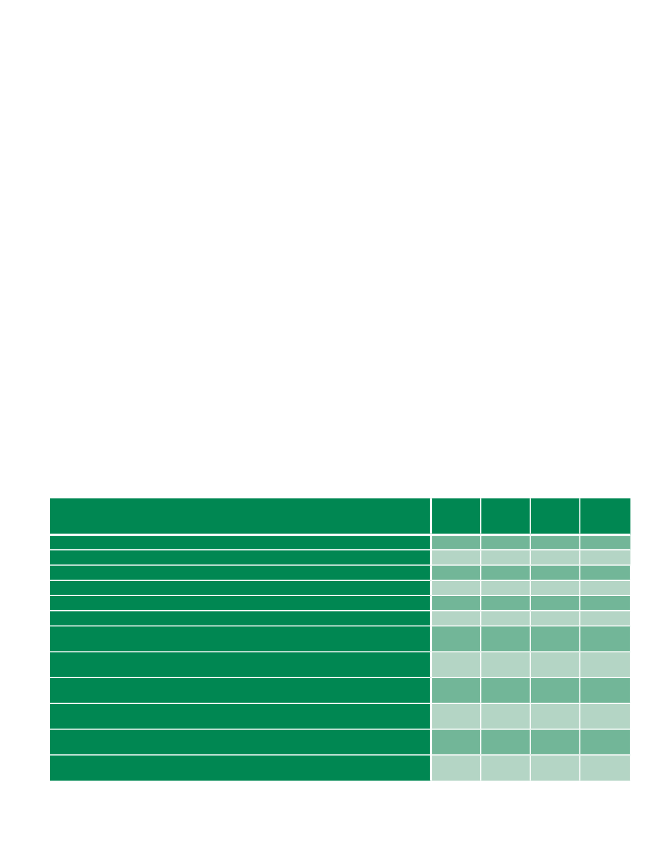
product. NLCD 2011 products are represented across nine files,
with an additional five files re-versioned for NLCD 2006 and two
additional files re-versioned for NLCD 2001 (Table 1).
Table 1. NLCD 2011 product list with approximate zipped file sizes. This includes previous editions of NLCD which were revised as “2011” versions.
All NLCD 2011 Products
(For the Conterminous United States)
NLCD 2011
NLCD
2006 (2011
Edition)
NLCD
2001 (2011
Edition)
File Size
(zipped)
Land Cover
X
X
X
1.1 GB
Percent Developed Impervious
X
X
X
713 MB
Percent Tree Canopy Cover – Analytical Version
X
10.4 GB
Percent Tree Canopy Cover – Cartographic Version
X
3.2 GB
Land Cover Change, 2006 – 2011 (pixels identified as changed between NLCD 2006 (2011 version) and NLCD 2011)
X
128 MB
*Land Cover Change, 2001 – 2011 (pixels identified as changed between NLCD 2001 (2011 version) and NLCD 2011)
X
74 MB
Land Cover Change, 2001 – 2006 (pixels identified as changed between NLCD 2001 (2011 version) and NLCD 2006
(2011 version)
X
13 MB
Percent Developed Impervious change, 2006–2011 (pixels identified as changed between NLCD 2006 (2011 version)
impervious and NLCD 2011 impervious)
X
66 MB
Percent Developed Impervious change, 2001–2006 (pixels identified as changed between NLCD 2001 (2011 version)
impervious and NLCD 2006 (2011 version) impervious)
X
8 MB
Land Cover Change Index, 2006 – 2011 (identifies “from” and “to” land cover class values for changed pixels based
on a matrix of all possible change combinations)
X
1.4 GB
*Land Cover Change Index, 2001 – 2011 (identifies “from” and “to” land cover class values for changed pixels based
on a matrix of all possible change combinations)
X
1.4 GB
Land Cover Change Index, 2001 – 2006 (identifies “from” and “to” land cover class values for changed pixels based
on a matrix of all possible change combinations)
X
1.4 GB
* This layer contains less overall change than the sum of 2001-2006 and 2006-2011 products because land cover change can transition twice in 10
years for the same pixel. When this occurs, the latest change class is given.


