MMETRIC ENGINEERING & REMOTE SENSING
August 2016
583
PHOTOGRAMME TR I C ENG I NE ER I NG & REMOT E SENS I NG
The official journal for imaging and geospatial information science and technology
August 2016 Volume 82 Number 8
A group of attendees at the 2013 State of the Map US conference gathered in
a San Francisco office for the first Maptime, an informal get-together of people
interested in mapping that has grown to an organization with chapters all over the US and on
nearly every continent
FEATURES
593
Automatic Extraction of Road Networks from GPS Traces
Jia Qiu
and
Ruisheng Wang
p inference method that generates road network from GPS traces through
entation and grouping.
al Area and Diameter Distribution Estimation Using Stereoscopic
erical Images
ánchez-González, Miguel Cabrera, Pedro Javier Herrera, Roberto Vallejo, Isabel
and
Fernando Montes
est inventory methodology based on stereoscopic hemispherical images is
and its accuracy in diameter and basal area estimation is tested in Spanish
orest Inventory plots.
ure Landsat Data Needs at the Local and State Levels: An
View Perspective
ivanpillai
and
Russell G. Congalton
describes the recommendations of the AmericaView community pertaining to
of Landsat Program and data and identifies future needs.
Jaehoon Jeong
and
Taejung Kim
The primary contributions of this paper are the provisions of theoretical background of
the effects of the three stereo angles, convergence, bisector elevation, and asymmetry
angles and experimental confirmations of the quantitative effects of the three angles on
the positioning accuracies of satellite stereo pairs.
635
Cropland Extraction Based on OBIA and Adaptive Scale Pre-
estimation
Dongping Ming, Xian Zhang, Min Wang,
and
Wen Zhou
An OBIA-based cropland extraction method from high spatial resolution remote sensing
images with adaptive scale parameter pre-estimation using spatial and spectral
statistics.
645
Remote Sensing of Tamarisk Biomass, Insect Herbivory, and
Defoliation: Novel Methods in the Grand Canyon Region, Arizona
Temuulen Ts. Sankey, Rene Horne, Ashton Bedford,
and
Joel B. Sankey
Defoliated tamarisk leaf biomass and insect herbivory impact can be estimated using
lidar and multitemporal, multispectral images.
PEER-REVIEWED ARTICLES
COLUMNS
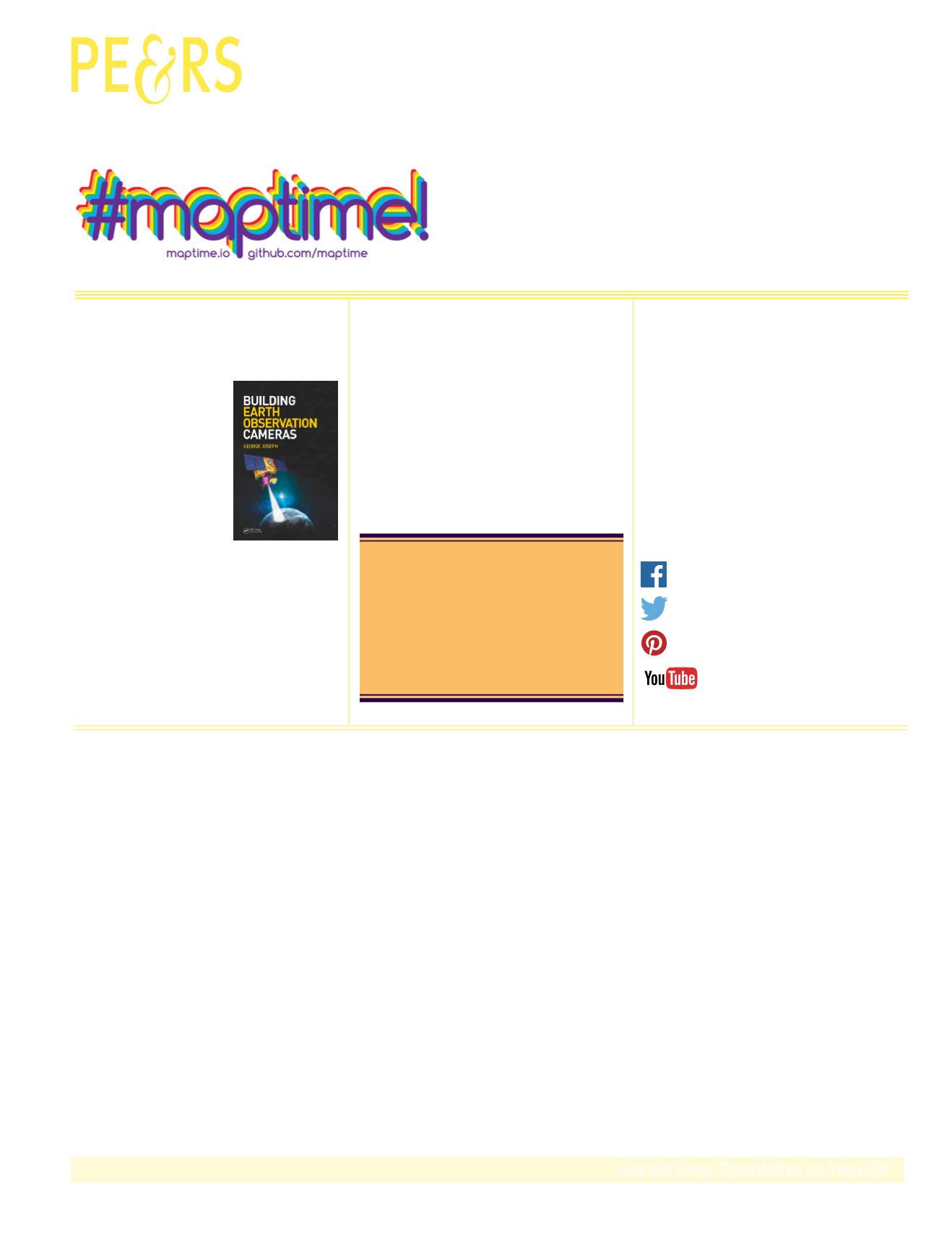
Increasing numbers of
countries and organizations
are venturing into the world of
owning and operating remote
sensing systems. In the past
satellite imagery was provided
to us by the high priests at
NASA, JPL, NRO, and other national organizations.
This book pulls back the curtain and illuminates
many of the dark arts required to successfully build
and operate a camera in space.
This month we look at Mongolia.
ANNOUNCEMENTS
New ASPRS Board Members.
Join us in welcoming our newest members to ASPRS.
DEPARTMENTS
Stand Out From the Rest! Newly certified and re-certified
professionals.
Is your contact information current?
Contact us at
or log on to
to update your information.
We value your membership.
Be a part of ASPRS Social Media:


