PHOTOGRAMMETRIC ENGINEERING & REMOTE SENSING
July 2016
473
by
Clifford J. Mugnier, CP, CMS, FASPRS
T
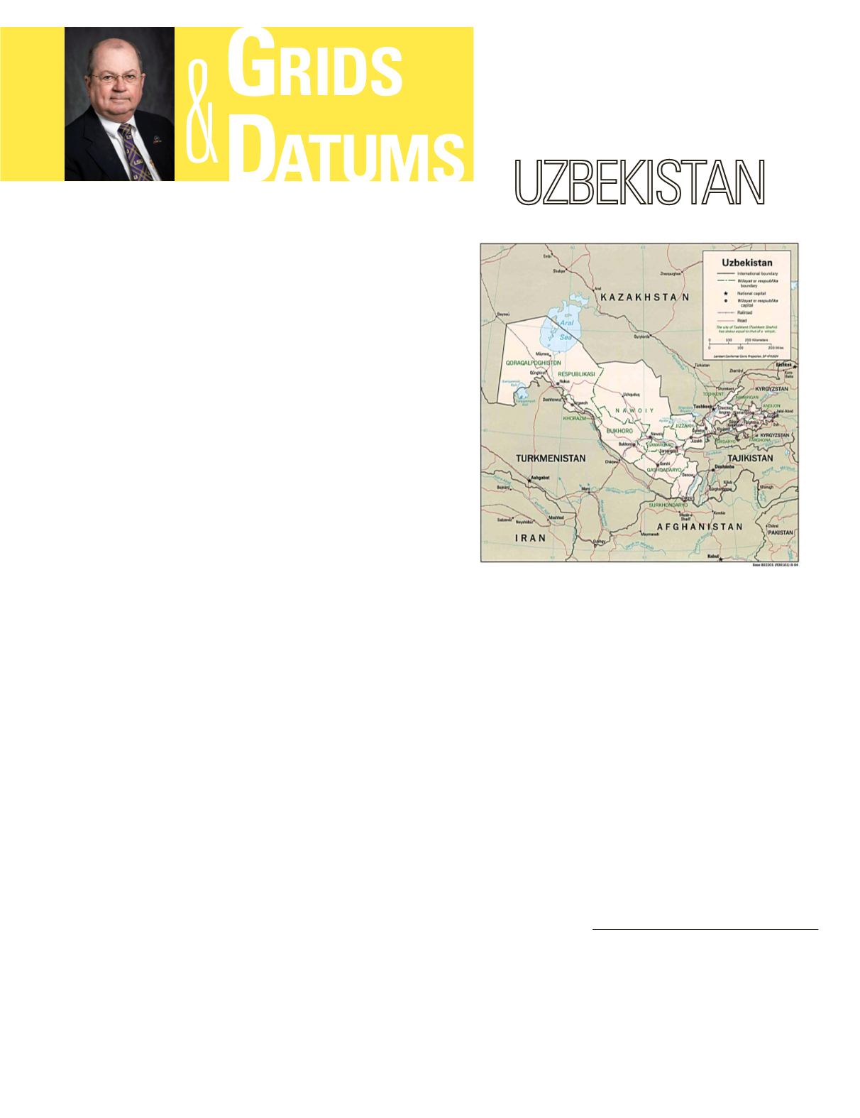
his month’s topic features the Republic of
Uzbekistan, an ancient country (1200 BC)
that lies in the heart of Central Asia and
is the center of the territory formerly known as
Cimmeria, Bactria, and Turkestan. The oasis cities
of Samarkand, Tamerlane, and Tashkent served as
major cities on the Great Silk Road that connected
China with Europe. Uzbekistan is one of the only
two doubly landlocked countries in the entire world
(the other is Liechtenstein). The Fergana Valley
was converted from its millennia-old agricultural
tradition of varied crops to only cotton when the
Aral Sea was diverted to irrigate the Soviet dream
of a cotton-exporting capital. Uzbekistan gained
its independence from the former Union of Soviet
Socialist Republics on 31 August 1991, and now
celebrates its independence holiday on September
1st.
In 1839, the Russian Imperial Army moved into the area
of Turkestan and completed its occupation in 1867. The city
of Tashkent was selected as the capital of the newly formed
Government General of Turkestan, which at the time comprised
the two provinces of Syr Darya and of Semiryechinsk. Provinces
added later were: Samarkand 1868, Bukhara ’69, Amu Darya
’73, Khokanda ’75, Khiva ’75, Fergana ’76, Turkmenia ’84,
and Transcaspia 1888. Colonization and railroad projects
required topographic surveys, resulting in the 1867 formation
of the Military Topographic Department of Turkestan. The
Physical Observatory of Tashkent was officially founded by the
Department in 1878.
The first classical triangulation was conducted from 1871-
1895 with scale established at the baselines measured at Miny
Yuryukh, Tokacha, Samarkand, Chuamy, Nikolskiy, and
Visokoye. These baselines were oriented primarily on Miny
REPUBLIC OF
The Grids & Datums column has completed an exploration of
every country on the Earth. For those who did not get to enjoy this
world tour the first time,
PE&RS
is reprinting prior articles from the
column. This month’s article on the Republic of Uzbekistan was
originally printed in 1998 but contains updates to their coordinate
system since then.
Yuryukh Datum and later on Tashkent Datum, retaining
the astronomic azimuth from the NW to SE end point of the
Miny Yuryukh baseline. That orientation was geodetically
transferred to the Tashkent Observatory Meridian Circle.
Triangulations of 1896-1929 were scaled to baselines measured
by invar wires (Jäderin base apparatus) at Kazalinsk, Arys,
Osh, and Kyzyl Rabat, and oriented on Tashkent Datum,
Kazalinsk Datum, and Osh Datum.
Miny Yuryukh 1871 Datum was established at the NW
Base Point (M) where: Φ
o
= 41
o
17’ 47.70” North, Λ
o
=
38
o
57’ 00.04˝ East of Pulkovo, (where the Pulkovo Observatory
is 79
o
46’ 19.56˝ East of Greenwich). Scharnhorst executed
the astronomic observations and referenced the datum to the
Bessel 1841 ellipsoid of revolution where the semi-major axis
a = 6,377,397.155 meters and the reciprocal of flattening (
1
/
f
) =
299.1528128. The defining azimuth was determined at the point
of origin to the SE Base point (N) as: α
o
= 114
o
26’ 34.6”. The
Russian geodetic surveys were measured in units of sazhens.
Photogrammetric Engineering & Remote Sensing
Vol. 82, No. 7, July 2016, pp. 473–474.
0099-1112/16/473–474
© 2016 American Society for Photogrammetry
and Remote Sensing
doi: 10.14358/PERS.82.7.473


