756
October 2016
PHOTOGRAMMETRIC ENGINEERING & REMOTE SENSING
BOOK
REVIEW
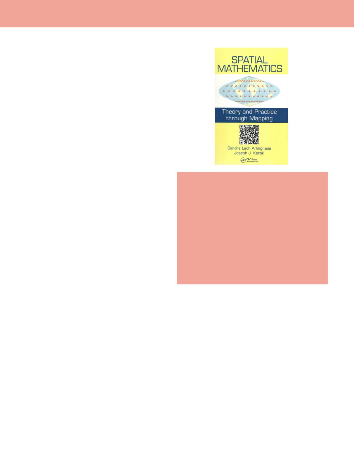
Spatial Mathematics — Theory and
Practice through Mapping
Sandra Lach Arlinghaus and Joseph J. Kerski
CRC Press, Taylor & Francis Group,2014, 300pp., ISBN 978-1-
4665-0532-2 (hardcover), $106.47.
Reviewed by
Charalampos Georgiadis, Assistant
Professor, School of Civil Engineering, harrisg@civil.
auth.gr, and Petros Patias, Professor, School of Rural
& Surveying Engineering,
. Faculty of
Engineering, The Aristotle University, Thessaloniki,
Greece.
The book comprises a total of 10 chapters in the fields of spatial
mathematics, geodesy, mapping, and GIS.
The authors of the book are Sandra Lach Arlinghaus,
Adjunct Professor of Mathematical Geography and Population-
Environment Dynamics in the School of Natural Resources
and Environment at the University of Michigan, and Joseph
J. Kerski, Adjunct Instructor at the University of Denver.
Digital cartography and GIS have become an everyday item.
GIS can be found almost everywhere in the web, providing
information for the location of a business or driving instructions
to reach a destination. The book introduces the mathematical
concepts behind the GIS, mapping, and visualization.
The book starts with a brief introduction to the geometry of a
sphere (Earth), geodesy and continues with definitions regarding
the basic elements of a GIS, namely: Geography, Information
and System. It continues by describing the basic operations and
the underlying theory behind them, along with the data used in
a GIS. At the beginning of each chapter the reader has visual
overview of the chapter’s content by a word cloud diagram, while
at the end of each chapter the reader has the opportunity to put
the theory into practice through some exercises and examples.
Furthermore the book introduces an innovative way to access
information on the web by using QR codes.
Chapter 1 “Geometry of the Sphere” is an introduction to the
geometry of spherical objects and core geodetic definitions.
Chapter 2 “Location, Trigonometry and Measurement of the
Sphere” provides the basics for geodetic coordinate systems,
trigonometry functions and measurements on a sphere.
Chapter 3 “Transformations: Analysis and Raster / Vector
Formats” gives an introduction to GIS. It analyses the
differences between functions and relations, and defines the
one-to-one, one-to-may, many-to-one, and many-to-many
relations along with the basic definition of buffers and set
theory. In addition the raster’s and vector’s data format
definitions and pros and cons are defined.
Chapter 4 “Replication of Results: Color and Number” presents
the basic color schemes (HIS, RGB, etc.) and gives some basic
notion for color manipulation. Furthermore it analyses image
resizing with respect to the image aspect ratio.
Chapter 5 “Scale” is introducing the concept of map scale,
generalization and dot density maps.
Chapter 6 “Partitioning of Data: Classification and Analysis”
presents basic concepts for data classification using different
methods for range definitions. It also introduces the data
normalization procedure, topology, and isolines.
Chapter 7 “VisualizingHierarchies” introduces hierarchies and
their visualization, focusing mostly on hexagonal hierarchies.
Chapter 8 “Distribution of Data: Selected Concepts” gives some
basic concepts of data distribution using real life examples
(e.g. spatial and temporal distribution of tornadoes). It also
defines the mean center, the weighted mean center and the
standard deviational ellipse.
Chapter 9 “Map Projections” gives an introduction to map
projections, and performs a basic map projection classification
based on the projection surface shape and the projection’s
attributes.
Chapter 10 “IntegratingPast, Present, andFutureApproaches”
shows examples of using and manipulating old maps with
new tools. Additionally it gives hints about non-Euclidean
geometry. It also provides the definitions of projective and
perspective geometry. Finally the reader has the opportunity
to apply all the theory introduced in this chapter’s practices
and examples.
The form of the book (theoretical analysis, examples, and
exercises) and the extent of its contents provide a useful reference
for scientists, engineers, and the general public regarding entry
level GIS concepts. A big congratulation to the authors.


