522
August 2017
PHOTOGRAMMETRIC ENGINEERING & REMOTE SENSING
INDUSTRY
NEWS
To have your press release published in
PE&RS
, contact Rae Kelley,
.
The bill requires the Federal Acquisition Regulation to be
revised to specify that the definition for «architectural and
engineering services» includes surveying and mapping services
and the acquisition of geospatial data.”
For more information, visit
PRODUCTS
Water content is an important indication
of vegetation health. Canopy water content
vegetation indices provide a way to gauge
canopy water content based on reflectance
spectra measured by a field portable
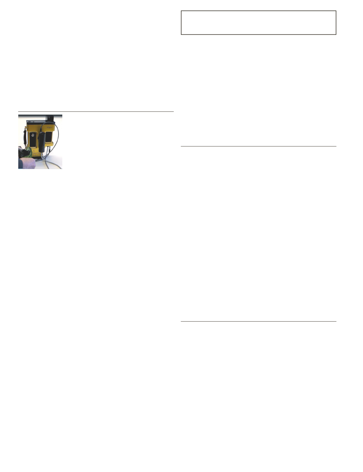
spectroradiometer such as
Spectral
Evolution’s
PSR+ and RS-3500. These
instruments come equipped with DARWin
SP Data Acquisition software and 19 built-
in vegetation indices including WBI (Water Band Index) and
NDWI (Normalized Difference Water Index).
WBI is sensitive to increases in water content measured
by the strength of an absorption at 970nm related to that of a
feature at 900nm. As the feature at 970nm increases, so does
water content in a canopy. WBI can be used for canopy stress
analysis, production prediction and modeling of crops, fire hazard
condition analysis and ecosystem physiology studies. Values for
green vegetation in the WBI index range from 0.8 to 1.2.
For NDWI, reflectance features at 857nm and 1241 nm
are used in calculations of water content. The weak water
absorption feature at 1241nm is enhanced by the scattering of
light by a forest canopy. The values for this index range from
–1 to 1. The typical range for green vegetation is –0.1 to 0.4.
You can use the NDWI to measure canopy stress, leaf area
index studies and fire hazard analysis.
The PSR+ and RS-3500 provide high resolution/high
sensitivity for field measurements. They deliver fast, accurate
and non-destructive measurements for field use. They are
rugged and reliable so you can get immediate measurements
and vegetation indices results. They both cover the full UV/
VIS/NIR range from 350-2500nm. They are accessed from
DARWin’s pull-down menus along with the other 17 included
vegetation indices. For more information, visit
DAT/EM
®
Systems International, photogrammetric software
developers, released version 7.4 of its software suite, including
significant updates to LandScape, a 3D stereo point cloud
editing and visualization tool. In LandScape version 7.4,
operators can expect to load points in half the time as previous
releases, utilize more filters and tools to explore their point
clouds, and have the option to purchase the new Point Cloud
VR to view their point cloud in virtual reality (VR).
Photogrammetric, engineering and GIS professionals use
LandScape to quickly view and modify enormous terrain point
clouds from sources such as aerial LiDAR, structure from
motion (SfM) and unmanned aerial systems (UAS). With a
wide variety of automatic and interactive tools, LandScape is
integral to understanding geospatial data.
By incorporating LandScape into their workflow, users boast
about the ability to produce a higher level of fidelity within
their point cloud and the data generated from the point cloud
making their or their client’s construction, transportation or
engineering projects run smoother.
To learn more about LandScape, visit
EVENTS
September 20 & 21 at the
for
- the Rocky Mountain West’s premier
geospatial information and technology conference. The 30th
Annual GIS in the Rockies promises to be the best ever,
offering an exceptional content-rich conference with -
,
co-founder and CTO of
geospatial division and
research
cartographer at Esri developing best practices for mapping; pre-
conference workshops, career development academy, and much
more. For more information, visit
/.
URISA is pleased to offer substantial NextGen 9-1-1 and
Emergency Preparedness content at GIS-Pro 2017 in
Jacksonville, Florida this year (October 23-26, 2017). As
NG911 technology is adopted by more emergency call centers,
the need for precise, current GIS data, and the people who
manage that data, is crucial for locating calls for service. The
GIS-Pro 2017 conference committee has developed content to
provide the digital details, the management methods, and the
information the GIS community needs to become an effective
partner with the 9-1-1 professionals in their jurisdiction. For
complete conference information, visit
.
CALENDAR
• September 6-8,
10th National GIS in Transit
Conference
, Washington, DC. For more information,
visit
.
• September 20-21,
GIS in the Rockies
, Denver, Colorado.
For more information, visit
• October 23-26,
GIS-Pro 2017
, Jacksonville, Florida. For
more information, visit
.
• October 24-26,
ASPRS UAS Symposium at the
Commercial UAV Expo
, , Las Vegas, Nevada. For more
information, visit
/.
• November 13-16,
Pecora 20
, Sioux Falls, South Dakota.
For more information, visit
/.
• March 19-22, 2018 G
IS /CAMA Technologies
Conference
, Houston, Texas. For more information, visit
.


