14
January 2017
PHOTOGRAMMETRIC ENGINEERING & REMOTE SENSING
by
Clifford J. Mugnier, CP, CMS, FASPRS
V
aik “came” to the Magyar Duchy in the year
997 AD through conquest. He applied for
and received the title of Apostolic King of
Hungary from Pope Sylvester II and was crowned
in Budapest in 1000 AD under the Christian name
of Stephan. He died in 1037, and was later canon-
ized as Saint Stephan, becoming the Patron Saint
of Hungary. A substantial amount of Hungarian
folklore is based on St. Stephan. Private topograph-
ic and cartographic activities in the Austro-Hun-
garian Empire started in the middle of the 16th
century. In 1763, Queen-Empress Maria Theresia
ordered the survey and topographic mapping of all
the Provinces of Hapsburg. There have been five
separate and distinct topographic surveys of Hun-
gary.
The first topographic survey of Hungarywas performed from
1763 to 1787 and was termed the “Josephinishe Aufnahme.”
The Liesganig triangulation and attached supplemental
surveys were executed graphically with plane table and
alidade. There was no geodetic survey used as a foundation.
The associated topographic survey was performed at a scale
of 1:28,800 and was based on the Vienna Klafter System
where 1 Zoll = 400 Klafters = 758.6 meters. Altogether there
were about 4,500 sheets surveyed and all of them were kept
secret for military purposes.
The second topographic survey of Northern Hungary
(Franziszeische Aufnahme) was conducted from 1810 to 1866.
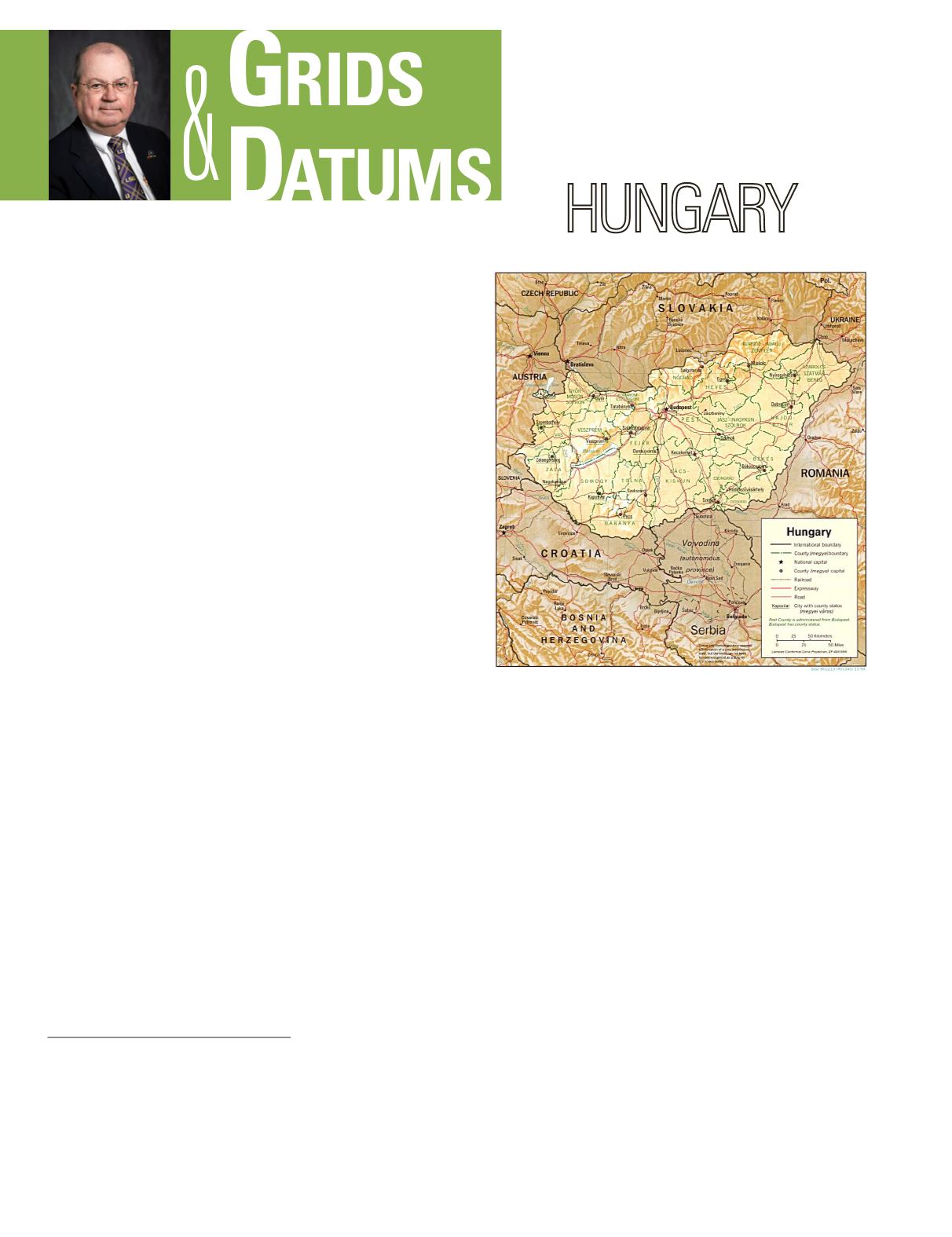
THE REPUBLIC OF
The Grids & Datums column has completed an exploration of
every country on the Earth. For those who did not get to enjoy this
world tour the first time,
PE&RS
is reprinting prior articles from
the column. This month’s article on the Republic of Hungary
was
originally printed in 1999 but contains updates to their coordinate
system since then.
The Vienna Datumof 1806 was established based on the origin
of St. Stephan Turm (St. Stephan’s Tower) where Φ
o
= 48° 12´
34.0˝ North, Λ
o
= 34° 02´ 15.0˝ East of Ferro. (Ferro is in the
Canary Islands which is 17° 39´ 46.02˝ West of Greenwich.)
The defining azimuth of the Datum was from St. Stephan
Turm to Leopoldsberg: α
o
= 345° 55´ 22.0˝. Coordinates for
the mapping were based on a Cassini-Soldner Grid centered
at the Datum origin. The Bohnenberger ellipsoid was used
from 1810-1845 where a = 6,376,602 meters and
1
/
f
= 324. The
Zach ellipsoid was used from 1845-1863 where a = 6,376,602
meters and
1
/
f
= 324. From 1847-1851 the Walbeck ellipsoid
was also used where a = 6,376,896 meters and
1
/
f
= 302.78.
An Austrian Cadastral triangulation was established in
1817 and the origin established for Hungary was in Budapest
at the Gellérthegy
Observatory (“hegy” is Hungarian for
hill) for another Cassini-Soldner Grid. The Gellérthegy Grid
origin used from 1817-1904 is: Latitude of Origin (
j
o
) = 47° 29´
15.97˝ North, with a Central Meridian (
l
o
) = 36° 42´ 51.57˝
East of Ferro. The second military triangulation surveyed in
1806-1829 consisted of the main chains (of quadrilaterals)
that covered the western part of the monarchy (west of the
meridian of Budapest) and the chain that extended along the
Carpathian Mountains to Transylvania. In 1863, the Bessel
Photogrammetric Engineering & Remote Sensing
Vol. 83, No. 1, January 2017, pp. 14–16.
0099-1112/17/14–16
© 2017 American Society for Photogrammetry
and Remote Sensing
doi: 10.14358/PERS.83.1.14


