PHOTOGRAMMETRIC ENGINEERING & REMOTE SENSING
March 2017
177
by
Clifford J. Mugnier, CP, CMS, FASPRS
T
he Roman province of Mauritania was in-
vaded by Muslims in the 7
th
century AD,
leading to the founding of the present coun-
try of Morocco as an independent kingdom in the
9
th
century. Later centuries saw occupation by
the Portuguese, English, Spanish and French. In
1912, two protectorates were established: French
Morocco, on the Atlantic coast which included
most of the present country and Spanish Morocco
on the Mediterranean coast. In recent years, the
kingdom has annexed much of the former Spanish
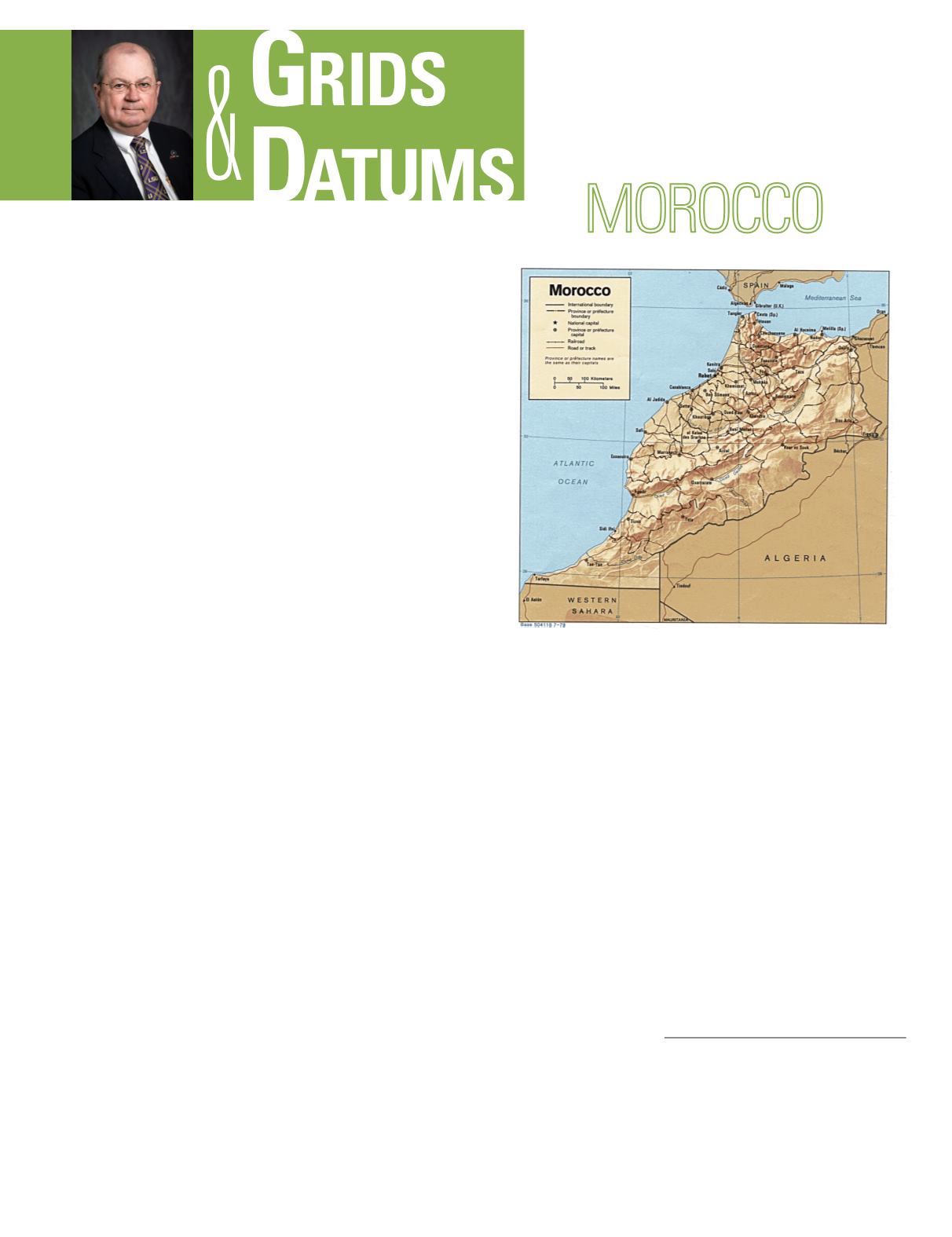
Sahara. The geodetic history of the entire country
is a combination of Spanish and French influenc-
es. The coordinate systems of Morocco are among
the more difficult to comprehend and unusual in
the entire world.
The first-order Frontier Triangulation of Spanish Morocco
was attached to Spain by measurements of the Instituto
Geográfico y Catastral de Madrid in 1923-1929. It was
composed entirely of one meridional arc and was originally
referenced to the Madrid Datum on the Struve ellipsoid.
This was locally computed on the Beni Meyimel Gauss-
Krüger Transverse Mercator Grid of 1923 that was adjusted
in the late 1950’s to the European Datum of 1950. Station
Beni Meyimel on ED50 is:
f
o
= 35° 45´ 34.223˝ North,
l
o
=
5° 41´ 09.5168˝ West of Greenwich. The local Spanish Grid
origin for Puerto de Tánger (Port of Tangier) was at Faro
(Lighthouse) de Malabata where:
f
o
= 35° 48´ 47.7˝ North,
l
o
= 5° 44´ 57.0˝ West of Greenwich. Neither of these Grids
had false origins. The same triangulation arc was later
completely recomputed with respect to the namesake of the
capital of the former Spanish Morocco, the Tétouan Datum of
1929 where: Φ
o
= 35° 35´ 41.493˝ North, Λ
o
= 5° 19´ 19.545˝
West of Greenwich. The azimuth to Tétouan South West Base
is: α
o
= 231° 44´ 50.67˝ .
THE KINGDOM OF
The Grids & Datums column has completed an exploration of
every country on the Earth. For those who did not get to enjoy this
world tour the first time,
PE&RS
is reprinting prior articles from
the column. This month’s article on the Kingdom of Morocco was
originally printed in 1999 but contains updates to their coordinate
system since then.
There were two types of classical triangulation in French
Morocco. The original triangulation, the “Reconnaissance
Triangulation,” was started about 1910 and covered a major
portion of the country. It was accomplished by Topographic
Engineers attached to French Foreign Legion troops engaged
in the conquest of Morocco. The work was done on a yearly
basis to satisfy military needs, and the officers in charge did
their own computations. Errors were cumulative because
values for the last 2 or 3 primary stations were accepted
by the extending party the following season. The work was
accomplished in approximately 40 different portions, and
was not as well coordinated as the previous 50 years worth
of French efforts in adjacent Algeria. The Reconnaissance
Triangulation is referenced to the Agadir Datum of 1921
where: Φ
o
= 30° 25´ 25.0˝ North, Λ
o
= 9° 37´ 48.06˝ West
of Greenwich. The origin is the minaret of a mosque in the
16
th
century Port of Agadir. The solar azimuth to Signaux de
Photogrammetric Engineering & Remote Sensing
Vol. 83, No. 3, March 2017, pp. 177–179.
0099-1112/17/177–179
© 2017 American Society for Photogrammetry
and Remote Sensing
doi: 10.14358/PERS.83.3.179


