PHOTOGRAMMETRIC ENGINEERING & REMOTE SENSING
August 2018
481
BOOK
REVIEW
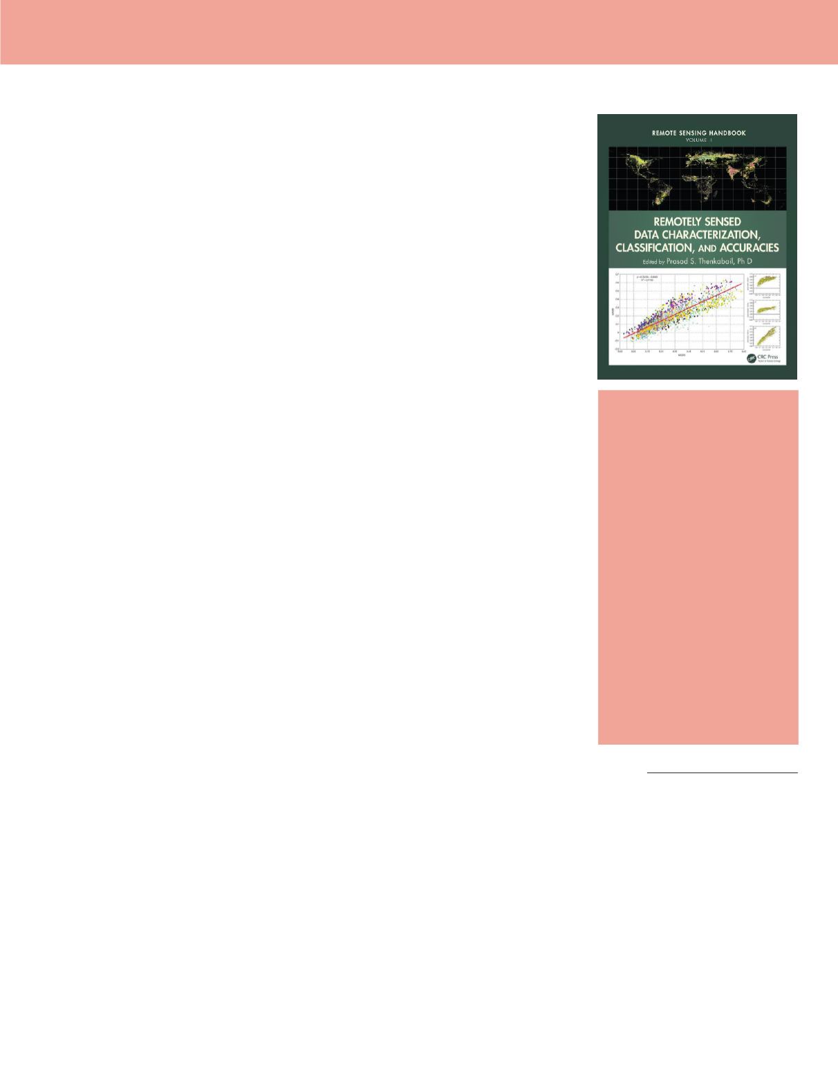
Remote Sensing
Handbook – Volume
I: Remotely Sensed
Data Characterization,
Classification, and
Accuracies.
Prasad S. Thenkabail,
Ph.D., Editor
Taylor and Francis Group, LLC
2016, xxxiv and 678 pp., black and
white and color figures, diagrams,
tables, index. ISBN-13 978-1-
4822-1786-5. Hardback: $TBD
Reviewed by
Demetrio P.
Zourarakis, Ph.D., GISP, CMS
(RS, GIS/LIS, LiDAR), CGP-GIS
A must-have book! The hefty weight and impressive size makes this handbook appear
daunting and intimidating, however, this essential book should be kept within reach of
any serious remote sensing professional. The quality and depth achieved in its exposition
of relevant and current topics merits the glowing reviews, endorsements, and accolades it
received from recognized authorities in the field.
In this first volume of his handbook, Dr. Thenkabail brought together experts in over
ninety subjects. The information is organized into fourteen sections that follow the
foreword, preface, and acknowledgments. Sections are organized in a total of thirty-one
subsections, often numbering one to three per section, and rarely exceeding that number.
All the ‘traditional’ aspects of remote sensing science and technology, such as fundamentals
of active and passive remote sensing, platforms and sensors, pre and post processing, image
classification, and accuracy assessment are adequately covered. Current topics, such as cloud
computing and storage, crowdsourcing, and the ubiquitous Google Earth are covered. Even
present subjects such as the democratization of access to digital assets, and the legal ramifi-
cations of remote sensings, such as those affected by space law are also dealt with.
The rich list of references present at the end of each subsection provides the reader
with hundreds of foundational publications cited for further development of his/her profi-
ciency in the subject matter.
Having reviewed other handbooks in the past few years, I can say that the breadth,
completeness, and depth of the knowledge and information contained in Dr. Thenkabail’s
handbooks are paramount, making it both essential and indispensable in the remote
sensing professional’s library.
Some of the topics covered in this handbook are:
• Remote Sensing Systems—Platforms and
Sensors: Aerial, Satellite, UAV, Optical,
Radar, and LiDAR
• Fundamentals of Remote Sensing for
Terrestrial Applications: Evolution,
Current State of the Art, and Future
Possibilities
• Overview of Satellite Image Radiometry
in the Solar-Reflective Optical Domain
• Postlaunch Radiometric Calibration of
Satellite-Based Optical Sensors with Em-
phasis on Terrestrial Reference Standard
Sites
• Remote Sensing Data Normalization
• Satellite Data Degradations and Their
Impacts on High-Level Products
• Inter- and Intrasensor Spectral Compat-
ibility and Calibration of the Enhanced
Vegetation Indices
• Toward Standardization of Vegetation
Indices
• Digital Image Processing: A Review of the
Fundamental Methods and Techniques
• Urban Image Classification: Per-Pixel
Classifiers, Subpixel Analysis, Ob-
ject-Based Image Analysis, and Geospa-
tial Methods
• Image Classification Methods in Land
Cover and Land Use
• Hyperspectral Image Processing: Meth-
ods and Approaches
• Thermal Infrared Remote Sensing: Prin-
ciples and Theoretical Background
• Object-Based Image Analysis: Evolution,
History, State of the Art, and Future
Vision
• Geospatial Data Integration in OBIA: Im-
plications of Accuracy and Validity
• Image Segmentation Algorithms for Land
Categorization
• LiDAR Data Processing and Applications
• Change Detection Techniques Using Multi-
sensor Data
• Geoprocessing, Workflows, and Provenance
• Toward Democratization of Geographic
Information: GIS, Remote Sensing, and
GNSS Applications in Everyday Life
• Frontiers of GIScience: Evolution, State of
the Art, and Future Pathways
• Object-Based Regionalization for Poli-
cy-Oriented Partitioning of Space
• Global Navigation Satellite Systems Theo-
ry and Practice: Evolution, State of the Art,
and Future Pathways
• Global Navigation Satellite System Reflec-
tometry for Ocean and Land Applications
• Global Navigation Satellite Systems for
Wide Array of Terrestrial Applications
• Crowdsourcing and Remote Sensing: Com-
bining Two Views of Planet Earth
• Processing Remote-Sensing Data in Cloud
Computing Environments
• Google Earth for Remote Sensing
• Assessing Positional and Thematic Accu-
racies of Maps Generated from Remotely
Sensed Data
• Remote Sensing Law: An Overview of Its
Development and Its Trajectory in the
Global Context
• Remote Sensing Data Characterization, Clas-
sification, and Accuracies: Advances of the
Last 50 Years and a Vision for the Future
Photogrammetric Engineering
& Remote Sensing
Vol. 84, No. 8, August 2018, pp. 481.
0099-1112/18/481
© 2018 American Society for
Photogrammetry
and Remote Sensing
doi: 10.14358/PERS.84.8.481


