PHOTOGRAMMETRIC ENGINEERING & REMOTE SENSING
June 2018
339
BOOK
REVIEW
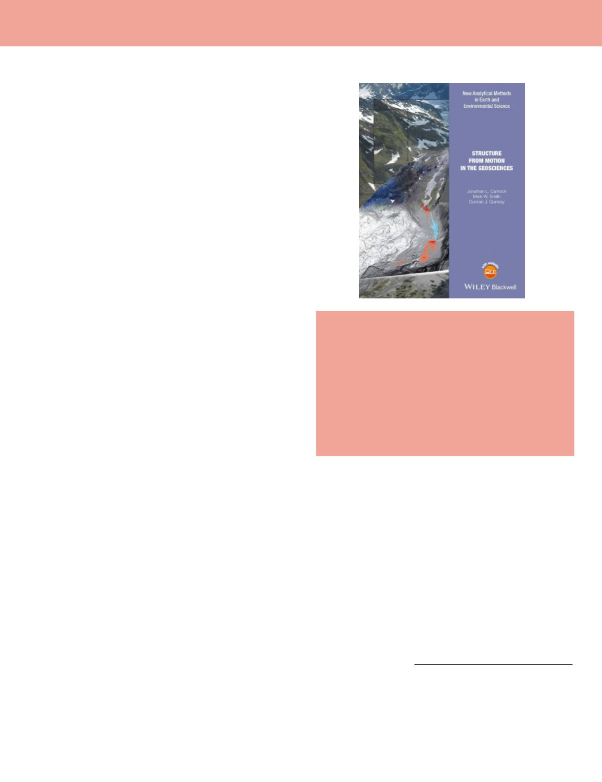
Structure from Motion in the Geosciences
Jonathan L. Carrivick, Mark W. Smith, and
Duncan J. Quincey
Wiley-Blackwell, Chichester, West Sussex, UK. 2016. ix and 197
pp, diagrams, images, tables, index. Hardcover. ISBN 978-1-118-
89584-9. $94.90 Amazon. e-book 978-1-118-89582-5. ($90.16 on
amazon.com).
Reviewed by
Stewart Walker, Sole Proprietor,
Photogrammetry Outreach, San Diego, California.
The authors, glacial and fluvial geomorphologists from the De-
partment of Geography, University of Leeds, in the UK, have
created a concise, accessible introduction to structure from
motion (SfM) that is focused on the geosciences and appeals to
students and practitioners in these disciplines. It is not a pho-
togrammetry or remote sensing text for geomatics specialists,
though it is a useful addition to their bookshelves since it of-
fers an applications perspective. Although it was published in
2016, we felt that the work is significant and worth reporting
to readers of
PE&RS
.
The short introductory chapter defines the geosciences and
structure from motion. The authors set their goals and, inter-
estingly, emphasize environmental consultants in their tar-
geted readership. They acknowledge, but separate themselves
from, the computer vision literature; your reviewer, a survivor
of the remarkable tome by Fōrstner and Wrobel, understands
this. Rather, they aspire to describe their material in a qual-
itative way.
Things start badly with a word cloud of geoscience sub-dis-
ciplines on page two that includes geodesy, geoinformatics,
and remote sensing, but not photogrammetry. On page five,
they write, “In contrast to traditional photogrammetry, SfM
uses algorithms to identify matching features in a collection of
overlapping digital images and calculates camera location and
orientation from the differential positions of multiple matched
features.” Those of us who have spent decades working in pho-
togrammetry may wonder what we have been doing – is this
not an operational definition of classical aerotriangulation?
They explain that an output of SfM is a sparse point cloud,
then the process can go on to generate a dense point cloud;
photogrammetrists would call this “dense image matching,”
whereas the authors prefer a computer vision nomenclature
of “multi-view stereo” and call the whole workflow as SfM-
MVS. Classical photogrammetry, in which aerotriangulation
is followed by elevation generation, is not so different. Indeed,
there is no dichotomy: the two processes are but places on a
continuum. Photogrammetry ingests accurate position and
orientation data derived from expensive sub-systems on the
aircraft, together with reports from optical calibrations of the
cameras. Yet SfM can also ingest GNSS and IMU data, as well
as ground control points (GCPs). Perhaps the real difference is
that typical SfM software packages, including several that are
well known on the worldwide market, work very well with lit-
tle or no input except the digital images and perhaps the focal
lengths of the cameras to the nearest millimeter, whereas clas-
sical digital photogrammetry requires more careful handling.
The latter is based on the collinearity equations, the former on
computer vision formulations, but that need not be so. Maybe
there is no real difference other than the user experience - yet
in the geoscience community, this matters a great deal.
Chapter two is, especially for readers outside geomatics, an
excellent summary of surveying techniques and the place of
SfM therein. Your reviewer struggled with the relationships
between the scale bars and the labeling of the grids in an im-
portant figure on topographic data, but there is no argument
with the value of a short overview of total stations and differ-
ential GPS (the term “GNSS” is not used). The page on photo-
grammetry is acceptable and its role is undergirded by refer-
ences to some of the literature. Your reviewer, into whom the
applicability of photogrammetry to physical geography was
inculcated when he was an undergraduate, was disappointed
that film photogrammetry was not mentioned - the enabler
of the rich stream of research in glacial geomorphology at his
alma mater
(Clarke, 2009) - yet the authors are correct to re-
strict their treatment to digital methods and their automated
software processes. It is gratifying that the value of GCPs is
emphasized throughout the book, which of course was pub-
lished just as today’s amazing GNSS-correction techniques are
transforming the UAV/SfM world: Graham (2018) describes
an exemplary of what can be accomplished. At the other end
of the spectrum, it is gratifying that the authors mention sat-
ellite imagery, such as ASTER DEMs, though a few words
Photogrammetric Engineering & Remote Sensing
Vol. 84, No.6, June 2018, pp. 339–340.
0099-1112/18/339–340
© 2018 American Society for Photogrammetry
and Remote Sensing
doi: 10.14358/PERS.84.6.339


