PHOTOGRAMMETRIC ENGINEERING & REMOTE SENSING
May 2018
241
BOOK
REVIEW
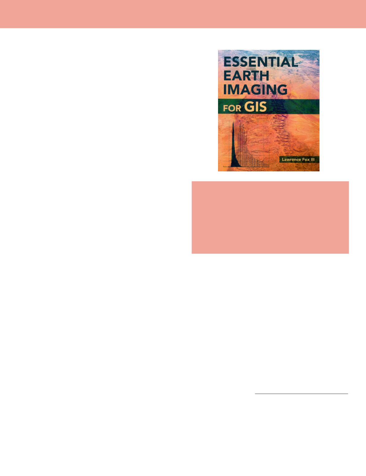
Essential Earth Imaging for GIS
Lawrence Fox III
Esri Press, 2015. ISBN: 9781589483453. Trim: 7.5in X 9 in.
Format: Trade paper. Price: $59.99. Pages: 128
Reviewed by
Connie Li Krampf, CP, CMS and MSCS,
Chief Photogrammetrist, Timmons Group, Raleigh,
North Carolina.
In the GIS world, imagery has been used for geoprocessing for
decades. Imagery has always been a very important compo-
nent of Geospatial applications. With continually advancing
imagery technology, it becomes even more so. GIS software
provides various functionalities and tools for processing, dis-
playing, and interpreting imagery and extracting the features
from it. Understanding how the software works to process the
imagery becomes a normal, required task for geospatial pro-
fessionals to do the work efficiently. The book
Essential Earth
Imaging for GIS
written by Lawrence Fox III provides rich in-
formation and guidelines in GIS imagery technology not only
for geospatial professionals but also for the college student, as
a reference for introductory GIS courses that include multi-
spectral imagery display and analysis.
Essential Earth Imaging for GIS
provides a basic educa-
tion in imaging technology and management, promoting the
effective use of imaging tools in GIS software. This book in-
cludes concepts and methods of
image formation and manip-
ulation that enable the user to efficiently and effectively dis-
play, co-register, enhance, interpret and delimit features from
earth imagery.
The book opens with a short but thorough introduction that
orients the book’s audience, the goals of the book, and explains
how and why the book is organized as it is. The outline of each
chapter is provided. It is a slim book with eight chapters, ref-
erences, and index.
Chapter 1, “Overview of Imaging GIS,” briefly describes
the earth imagery history while it summaries the types of im-
agery used in GIS based on the sensor systems that include
satellites, aircraft, and unmanned aerial systems (UAS). The
chapter identifies the structure of the two–dimensional digital
imagery in which the value of each cell or pixel represents
the brightness of imagery. With this important concept, the
author points out that “
the interpreter can use the geograph-
ic pattern of relative brightness values to help correctly inter-
pret Earth features….
” Right after this important perspective,
another fundamental but crucial concept of color imagery is
introduced: “...all colors can be formed from various shades
of three additive primary colors: red, green and blue. Every
color image is actually three images superimposed in various
shades of those three colors. In the same chapter, the author
also discusses the Three-dimensional data that is used for
three-dimensional visualization of terrain in GIS software.
Chapter 2, “The Physical Basis and General Methods of Re-
mote Sensing,” presents the most important learning point of
the book. The author uses straightforward language to explain
the principles of electromagnet (EM) radiation, the engine of
image formation in virtually all earth imaging systems. The
author covers the complex science of imaging systems, the ca-
pabilities, and limitations of various remote sensing methods,
the aerial and spaceborne platforms and how their character-
istics influence the attributes of the imagery collected from
them with simple diagrams, pictures, and detailed explana-
tions. This is one of the longest chapters in the book. The au-
thor invests much effort in demonstrating the theories and the
advanced level science behind the remote sensing technology,
which the reader should appreciate.
Chapter 3 “Effects of the Atmosphere on Image Quality” is
equally important for the user to understand. In this chap-
ter, the user will learn how atmosphere and cloud cover af-
fects the electromagnetic (EM) radiation detected by remote
sensing systems. The author clearly presents for the reader
very important concepts and facts related to the topic by using
numbers, diagrams, and pictures in addition to the detailed
explanations. One example of the easy to understand state-
ments but very important concepts in the chapter is “When
mapping surface features with imaging GIS, the reflected or
emitted radiation is the
signal, and the atmospheric contribu-
tion is the noise.”
Photogrammetric Engineering & Remote Sensing
Vol. 84, No. 5, May 2018, pp. 241–242.
0099-1112/18/241–242
© 2018 American Society for Photogrammetry
and Remote Sensing
doi: 10.14358/PERS.84.5.241


