PHOTOGRAMMETRIC ENGINEERING & REMOTE SENSING
January 2015
13
“
L
ittle is clearly understood about
the prehistory
of the Marshall Islands. Researchers
agree on little more than that successive
waves of migratory people from Southeast Asia
spread across the Western Pacific about 3,000 years
ago and that some of them landed on and remained
on these islands. The Spanish explorer
de Saavedra
landed there in 1529. They were named for English
explorer John Marshall, who visited them in 1799.
The Marshall Islands were claimed by Spain in
1874. Germany established a protectorate in 1885
and set up trading stations on the islands of Jaluit
and Ebon to carry out the flourishing copra (dried
coconut meat) trade. Marshallese
iroij
(high chiefs)
continued to rule under indirect colonial German
administration. At the beginning of World War I,
Japan assumed control of the Marshall Islands.
Their headquarters remained at the German center
of administration, Jaluit. U.S. Marines and Army
troops took control from the Japanese in early
1944, following intense fighting on Kwajalein and
Enewetak atolls. In 1947, the United States, as the
occupying power, entered into an agreement with
the UN Security Council to administer Micronesia,
including the Marshall Islands, as the Trust
Territory of the Pacific Islands. On May 1, 1979,
in recognition of the evolving political status of the
Marshall Islands, the United States recognized
the constitution of the Marshall Islands and the
establishment of the Government of the Republic of
the Marshall Islands. The constitution incorporates
both American and British constitutional concepts”
(Background Notes, U.S. Dept. of State, 2014).
“U.S. nuclear testing took place between 1946 and 1958
on the islands of Bikini and Eniwetok. The people of Bikini
were removed to another island, and a total of 23 U.S. atomic
and hydrogen bomb tests were conducted. Despite cleanup
attempts, the islands remain uninhabited today because of
nuclear contamination. The U.S. paid the islands $183.7
REPUBLIC OF
million in damages in 1983, and in 1999, the U.S. approved
a one-time $3.8-million payment to the relocated people of
Bikini atoll. Kwajalein atoll is the site of an American military
base and has been used for missile defense testing since the
1960s”
(InfoPlease, 2014)
.
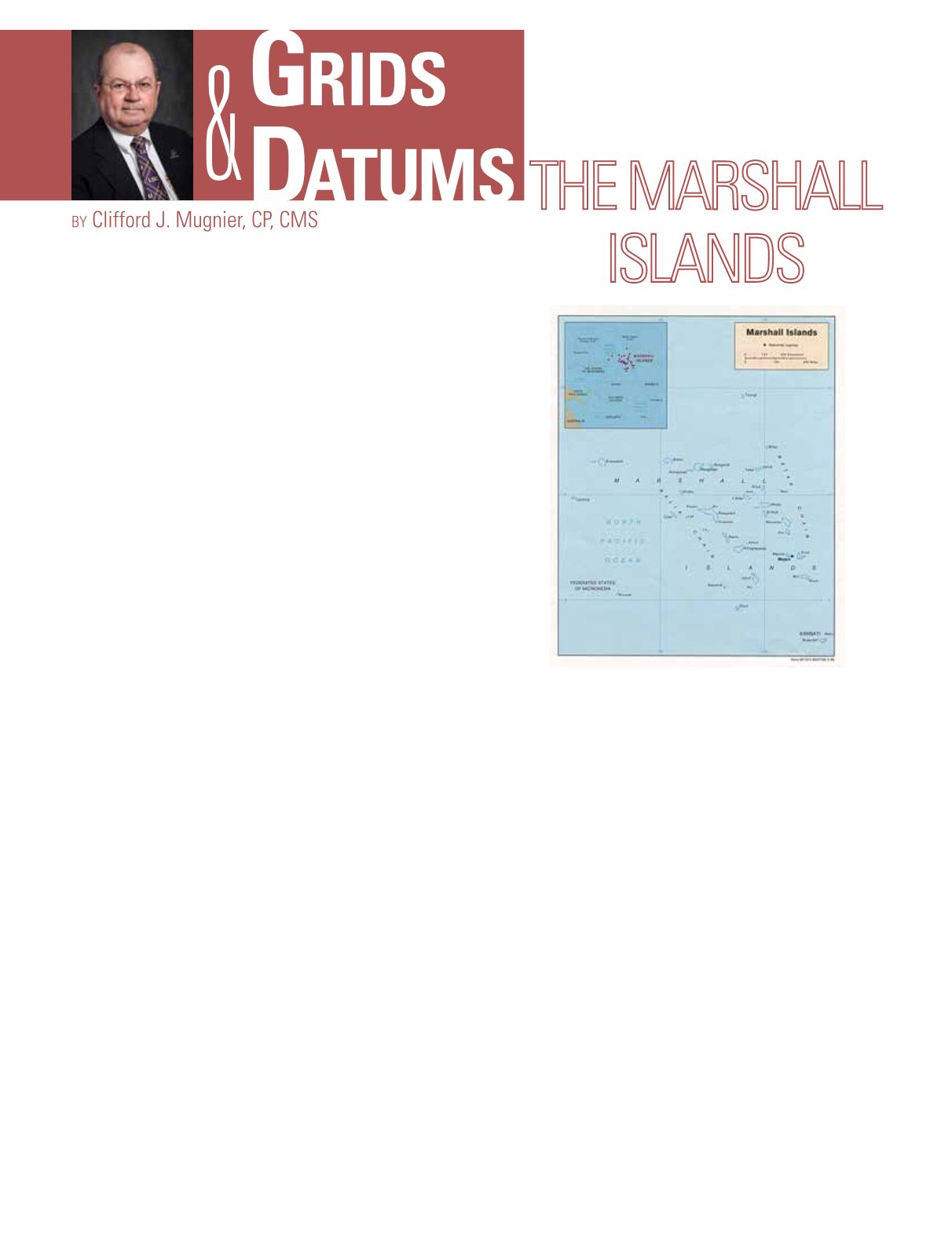
The Marshall Islands terrain is low coral limestone and
sand islands. The lowest point is the Pacific Ocean (0 m), the
highest point is an unnamed location on Likiep (10 m). About
the same size as Washington, D.C., the coastline is 370.4 km
long.
(World Factbook, 2014)
Dr.Helmut Schmidwas one of the originalGermanV-2Rocket
Scientists from Peenemünde that were brought to the U.S. at
the end of WWII. While most of the Germans were taken to
White Sands Missile Proving Grounds, Dr. Schmid was moved
to Aberdeen Proving Grounds in Maryland. His protégé was
Dr. Duane C. Brown, the Father of American Computational
Analytical Photogrammetry. While at Aberdeen, Dr. Schmid
designed the WILD Heerbrugg BC-4 ballistic camera for
tracking the flights of guided missiles at night.
(I personally
own one that I converted for terrestrial photogrammetry. Every
Spring semester I have it taken out for my students to see how
the
“
old timers
”
used to do things. Personally, I haven
’
t been


