PHOTOGRAMMETRIC ENGINEERING & REMOTE SENSING
February 2018
59
BOOK
REVIEW
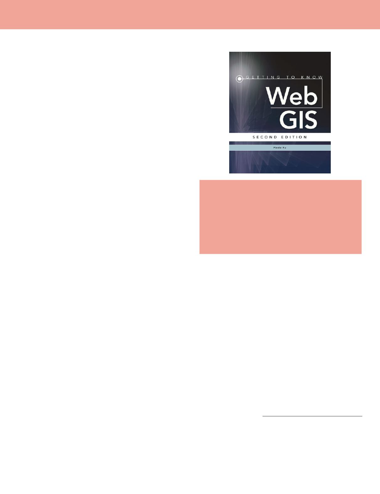
Getting To Know Web GIS, 2nd Ed.
Pinde Fu
ESRI Press: Redlands, CA. 2016. Softcover. $84.99. ISBN
978-1-58948-463-4.
Reviewed by:
Ningchuan Xiao, Professor, Department
of Geography, The Ohio State University, Columbus,
Ohio.
The ways of displaying spatial data have significantly
changed in recent years. One of these changes is the wide
use of the web as a platform where spatial data is inter-
actively displayed with other data sets. Based on imple-
mentation technologies, there are roughly two camps in
this field. The first camp relies on free and open source
techniques such as Leaflet, Postgressql, and D3.js. This ap-
proach has almost unlimited ability to utilize spatial data,
though some serious coding may be required. The second
camp often has some kind of subscription with different
levels of the license fee for users to access online resources
and services (limited services can be available through free
accounts). Subscribing to this camp generally means rel-
atively quick and easy setup of web applications that can
be configured using a number of templates designed by the
service provider. Techniques in this camp include ESRI’s
ArcGIS Online and ArcGIS for Server, MapBox, and, to
some extent, Tableau. An advantage of joining this camp is
the wide range of existing data (maps) and templates that
allow users to engage with the most recent tools. Users in
this camp can also take advantage of the application pro-
gram interfaces (APIs) that are designed to further custom-
ize their web applications. For highly advanced users, the
gap between these two camps is perhaps small and it may
not even matter to choose either one. For the rest of the
user groups, however, the pros and cons of the two camps
deserve careful considerations.
The second edition of
Getting To Know Web GIS
is
designated to help users embrace techniques in the second
camp, more specifically, ArcGIS Online and ArcGIS for
Server. The book aims to help professionals who need a
guidebook to self-learn about web GIS and educators need-
ing a lab book for their GIS classes. The book is divided into
10 chapters that start with steps of setting up user accounts
and end with more advanced topics of using JavaScript.
While the book mainly covers the technical aspects of web
GIS, it also introduces useful backgrounds in each chapter,
which are reinforced in hands-on, step-by-step tutorials that
follow. The author conceptualizes the path of building a web
application the links components from three categories of
data sources, tools in ArcGIS Online or for Server, and the
client ready to use apps (templates). Such a big picture is
useful, though the detail of each term may not appear to be
immediately comprehensible for first-time users.
It is reasonable to group the 10 chapters into 3 sections.
The introduction section includes the first four chapters.
The most basic steps of setting up and sharing a web map
are introduced in Chapter 1, which also discuss some fun-
damental concepts such as the overall construct of a web
application and web GIS application, the difference be-
tween ArcGIS Online and for Server, and different kinds
of user accounts that are required to set up any web GIS
application in the context. This is a crucial chapter because
from here the users will be able to create their own web
maps. Chapter 2 goes on to further enhance web maps so
that the users can use their own data through geocoding
and then style those maps. Chapter 3 discusses how us-
ers can make a large volume of data online, and Chapter 4
touches up on how to configure more aspects of maps, and
more specifically story maps, a major type of web map pro-
vided under the hood of ArcGIS online platforms.
The second section focuses on functionality building and
includes chapters 5 through 7. These chapters cover some
important functions that are readily available in ArcGIS
Online and ArcGIS for Server, often through the use of
configurable widgets, tools that are accessible within user’s
applications (Chapter 5), and services that are accessible
through online requests (Chapter 6). Chapter 7 provides
use cases that utilize both of these two approaches.
Photogrammetric Engineering & Remote Sensing
Vol. 84, No. 2, February 2018, pp. 59–60.
0099-1112/17/59–60
© 2018 American Society for Photogrammetry
and Remote Sensing
doi: 10.14358/PERS.84.2.59


