530
September 2018
PHOTOGRAMMETRIC ENGINEERING & REMOTE SENSING
It wasn’t so long ago that the only
time a surveyor or engineer would
ever operate a drone was in their free
time. In industries like surveying and
engineering, accuracy and reliabil-
ity are absolutely essential, and so
surveyors have been rightly skeptical
to adopt the technology until it can be
proven to be reliably accurate. Today
though, surveyors are doing more with
less, and have quantified a 90% time
savings when using the technology.
Nonetheless, many people within the
surveying and engineering professions
still look on drone people with a very
skeptical eye.
That’s understandable, and I’ve seen
many people burned by getting bad
data out of drones. Even more unfortu-
nate is seeing the people out there who
are claiming to have the skills to pro-
vide the mapping services required for
a given job without being able to back
it up. Sometimes it’s just a matter of
people getting ahead of themselves.
I run into many drone pilots who are
excellent pilots with impeccable safety
records. Many of them are extremely
skilled artists and filmmakers as well.
But that simply isn’t the same thing as
a scientist who can accurately capture
and process data. It’s especially frus-
trating when a company hires a pilot
who thinks they know surveying, only
to get inaccurate or unreliable data.
This makes the company think that
drones altogether are worthless, which
obviously isn’t true.
It takes a lot of skill to get survey-
grade accuracy out of a drone. There
are dozens of small mistakes that can
impact accuracy, and the standard
operating procedures we’ve developed
and refined at Aerotashave allowed us
to create incredible efficiencies for our
clients using drones. However, they’re
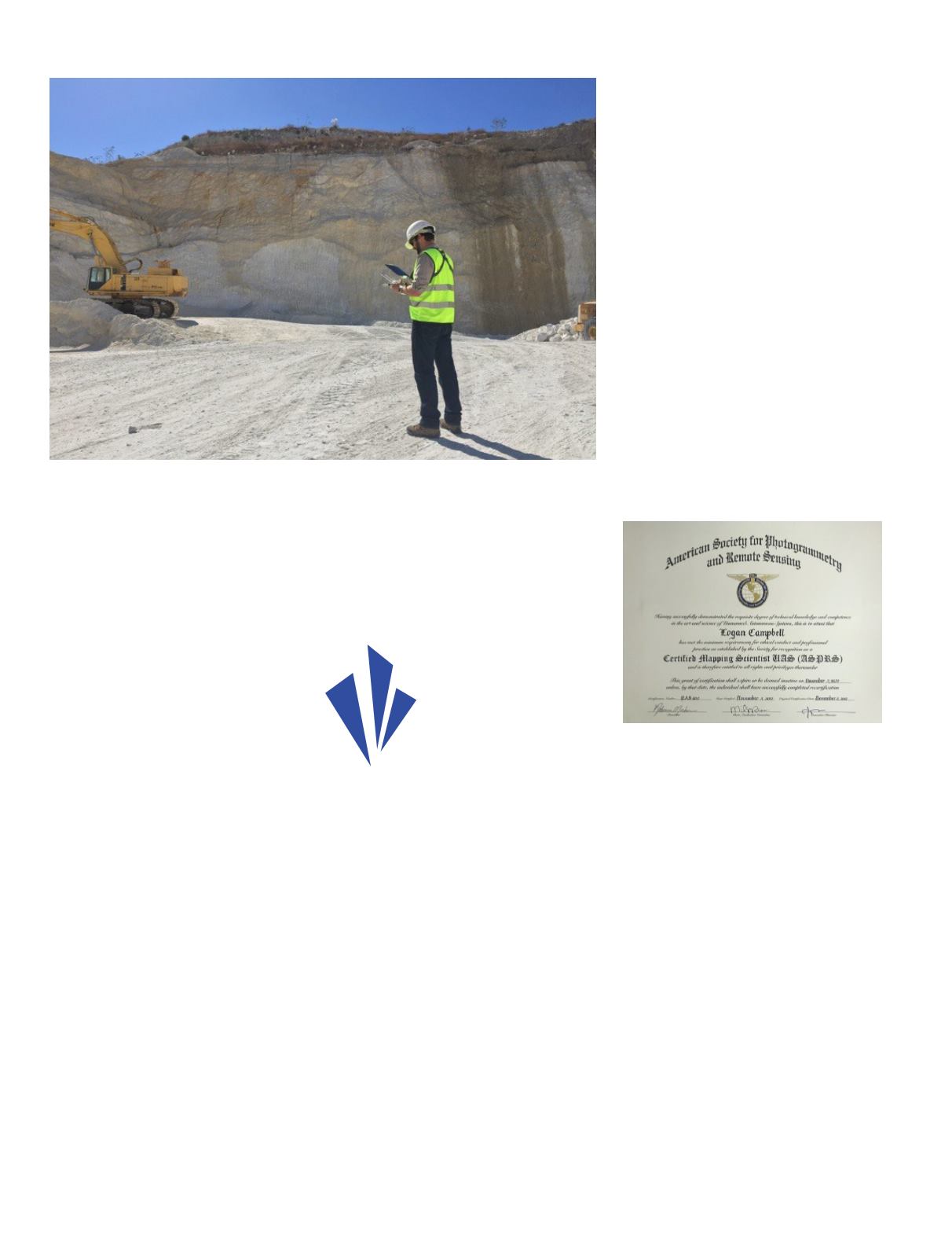
also the result of American Society for
Photogrammetry and Remote Sensing
(ASPRS) standards for positional
accuracy to measure and verify the
accuracy of your data. That’s just
part of the reason that I wanted to be
one of the first people to actually get
certified when ASPRS launched the
UAS Technical Symposiumcertification
program at Commercial UAV Expo last
year.
The exam covered a much broader set
of topics than I would have initially ex-
pected. It covered everything from how
drones work, through the basics of pho-
togrammetry, all the way to the funda-
mental physics and math that supports
it. I had to draw on my experience from
every part of my professional career to
be able to pass it, and the validity that
certification represents is and will be
a big deal for my business. It’s an even
bigger deal for the survey industry as a
whole though.
ASPRS certification matters for a vari-
ety of reasons, but for me, it all comes
down to credibility. While I first sought
out the certification for the perceived
value, going through the process of
achieving the certification has yielded
more practical value than I would have
initially thought. The exposure to a
much broader set of photogrammetry,
remote sensing, lidar, and even radar
technology has really helped me under-
stand how aerial surveying can best be
done. And that’s value Aerotas delivers
to our clients every day.
That credibility really does mean
something out in the field, where
uneducated pilots can mess up an
entire project by gathering bad data.
We’ve seen flights with just a single
line of oblique photos, and two or three
“...surveyors are
doing more with less,
and have quantified
a 90% time savings
when using the
technology.”


