PHOTOGRAMMETRIC ENGINEERING & REMOTE SENSING
September 2018
531
ground control points, where the client
expects perfect topographical data as
a result. As one might expect, the final
data doesn’t pass any quality tests, and
the data has to be thrown out. Howev-
er, the bigger problems associated with
not having this credibility typically
come up during data processing and
accuracy measurement.
One notable example of this came from
a linear mission project that a drone
service provider flew over a 2,000 foot
stretch of road. The surveyor then set 5
ground control points in a straight line
down the center of the road. In process-
ing the data, all the automated checks
came out okay, and so the service
provider delivered the data. What they
didn’t notice, is that when you have
control directly in a line, the resulting
data might twist around the line, lead-
ing to bad data. This is exactly what
happened, and the client wound up
bringing in Aerotas so that profession-
al photogrammetrists could spot these
problems and solve them. Those issues
were the result of working with pilots
who didn’t have a deep understanding
of photogrammetry that is at the core
of ASPRS certification.
ASPRS provides the academic rigor
that drone surveying needs for sur-
veyors and engineers to actually trust
photogrammetry data. ASPRS puts
decades of experience with photogram-
metry to work in proving that photo-
grammetry data truly can be reliable.
What’s also great is that they’re
technologically agnostic. Whether you
capture data with a camera on a stick,
or on a drone, or an aircraft, or even
a satellite, their experience matters.
After all, the end user doesn’t care
whether there was a person in the
cockpit or not, they care if the data
was accurate. This has allowed ASPRS
to smoothly make the transition from
manned-aircraft photogrammetry to
drone-based photogrammetry. ASPRS
also has an eye on the future as well,
making sure that they are ready for
when lidar technology becomes more
mainstream.
That’s the reason we’ll likely get to a
point when being an ASPRS Certified
Mapping Scientist is a required part of
any land surveying or civil engineering
job. Anyone can say they know how to
do aerial mapping, but someone with
an ASPRS certification can actually
prove it. You wouldn’t hire a doctor
that isn’t licensed to practice medicine,
and you shouldn’t hire a photogramme-
trist that doesn’t have an ASPRS cer-
tification. Understanding the science
and practice behind surveyors should
be a requirement for these types of
jobs, and ASPRS certification is the
best way for someone to prove they
have that understanding.
Being a Certified Mapping Scientist
means you comprehend the principles
of mapping from aerial imagery, and
can apply that knowledge in a way that
makes sense for real-world projects.
There are so many different types of
surveys that can be completed with
a drone, and they are very different.
A topographic map of a real estate
subdivision will require a very different
workflow than a 3D reconstruction of
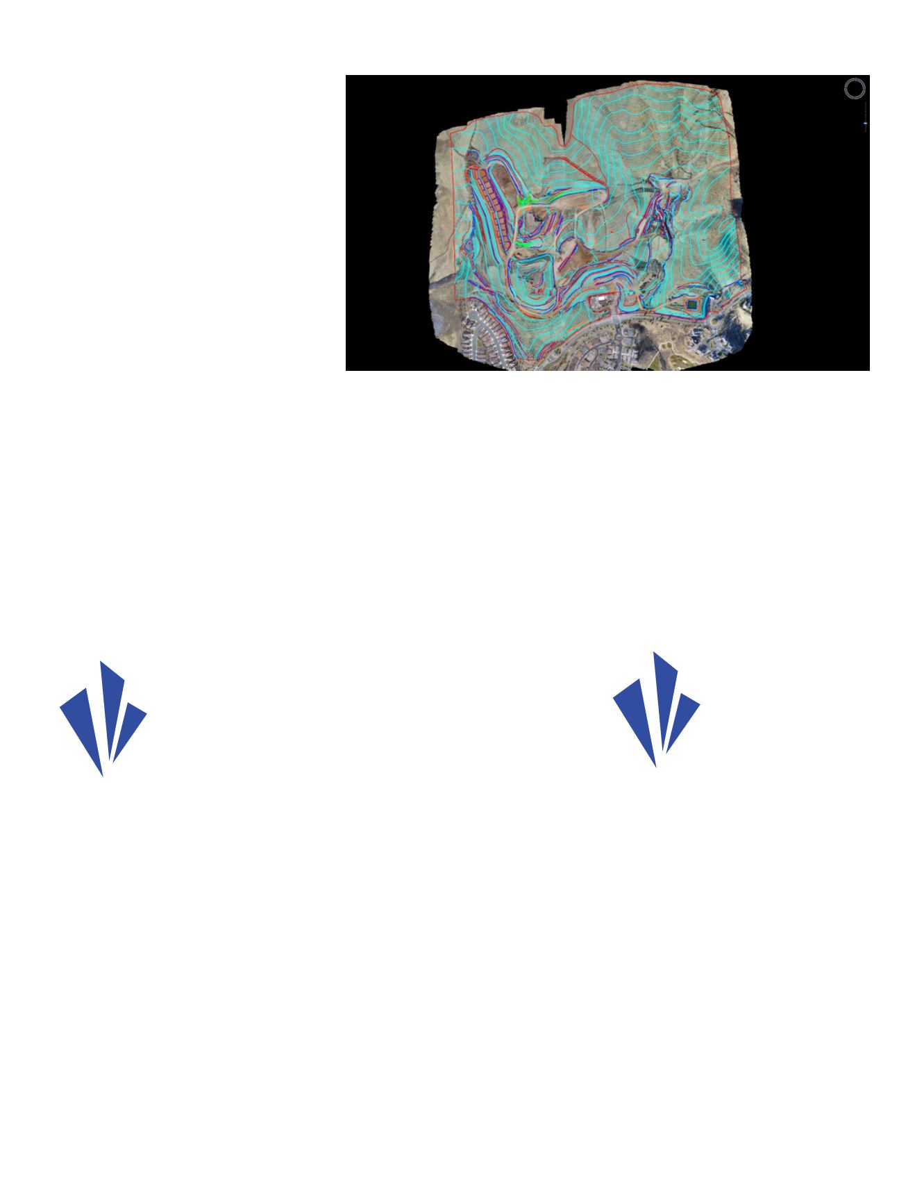
A look at what it means to properly capture and process data gathered via a drone.
“Being a Certified
Mapping Scientist
means you
comprehend the
principles of mapping
from aerial imagery,
and can apply that
knowledge in a way
that makes sense for
real-world projects.”
“There are so many
different types of
surveys that can
be completed with
a drone, and they
are very different. A
topographic map
of a real estate
subdivision will require
a very different
workflow than a 3D
reconstruction of a
historical building
facade.”


