PHOTOGRAMMETRIC ENGINEERING & REMOTE SENSING
March 2015
189
“A
lthough knowledge of prehistoric
Bhutan has yet to emerge through
archaeological study, stone tools and
weapons, remnants of large stone structures, and
megaliths that may have been used for boundary
markers or rituals provide evidence of civilization
as early as 2000 B.C. The absence of neolithic
mythological legends argues against earlier
inhabitation. A more certain prehistoric period has
been theorized by historians as that of the state of
Lhomon (literally, southern darkness) or Monyul
(dark land, a reference to the Monpa aboriginal
peoples of Bhutan), possibly a part of Tibet that
was then beyond the pale of Buddhist teachings.
Monyul is thought to have existed between 500
B.C.
and
A.D.
600. The names Lhomon Tsendenjong
(southern Mon sandalwood country) and Lhomon
Khashi (southern Mon country of four approaches),
found in ancient Bhutanese and Tibetan chronicles,
may also have credence and have been used by
some Bhutanese scholars when referring to their
homeland. Variations of the Sanskrit words
Bhota-ant (end of Bhot, an Indian name for Tibet)
or Bhu-uttan (meaning highlands) have been
suggested by historians as origins of the name
Bhutan, which came into common foreign use in
the late nineteenth century and is used in Bhutan
only in English-language official correspondence.
The traditional name of the country since the
seventeenth century has been Drukyul- -country
of the Drokpa, the Dragon People, or the Land of
the Thunder Dragon--a reference to the country’s
dominant Buddhist sect.
“Some scholars believe that during the early historical period
the inhabitants were fierce mountain aborigines, the Monpa,
who were of neither the Tibetan or Mongol stock that later
overran northern Bhutan. The people of Monyul practiced the
shamanistic Bon religion, which emphasized worship of nature
and the existence of good and evil spirits. During the latter
KINGDOM OF
part of this period, historical legends relate that the mighty
king of Monyul invaded a southern region known as the Duars,
subduing the regions of modern Assam, West Bengal, and
Bihar in India.
The introduction of Buddhism occurred in the seventh
century
A.D
., when Tibetan king Srongtsen Gampo (reigned
A.D
. 627-49), a convert to Buddhism, ordered the construction
of two Buddhist temples, at Bumthang in central Bhutan
and at Kyichu in the Paro Valley. Buddhism replaced but
did not eliminate the Bon religious practices that had also
been prevalent in Tibet until the late sixth century. Instead,
Buddhism absorbed Bon and its believers. As the country
developed in its many fertile valleys, Buddhism matured and
became a unifying element. It was Buddhist literature and
chronicles that began the recorded history of Bhutan.
“In
A.D
. 747, a Buddhist saint, Padmasambhava (known
in Bhutan as Guru Rimpoche and sometimes referred to
as the Second Buddha), came to Bhutan from India at the
invitation of one of the numerous local kings. After reportedly
subduing eight classes of demons and converting the king,
Guru Rimpoche moved on to Tibet. Upon his return from
Tibet, he oversaw the construction of new monasteries in
the Paro Valley and set up his headquarters in Bumthang.
According to tradition, he founded the Nyingmapa sect-
-also known as the “old sect” or Red Hat sect–of Mahayana
28
27
28
90
91
91
90
89
92
27
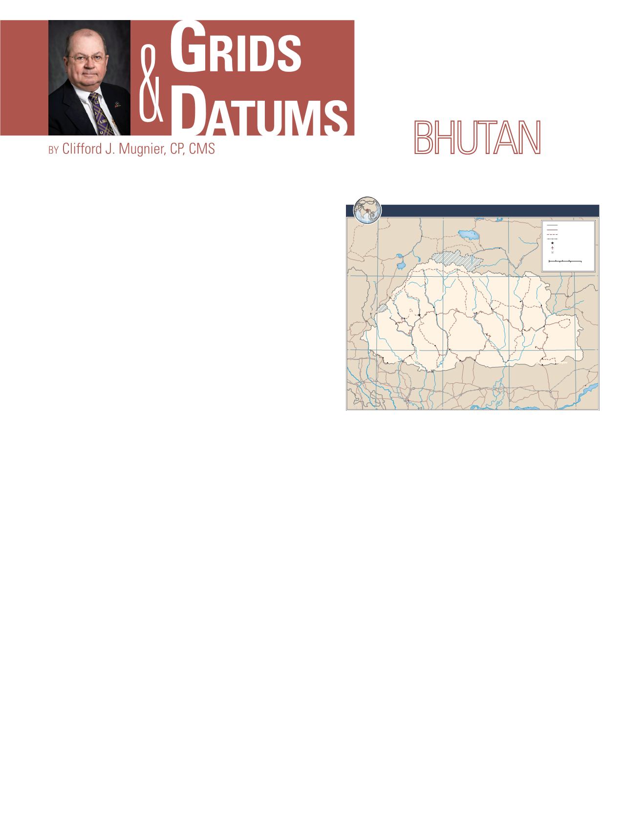
THIMPHU
Punakha
Wangdue
Phodrang
Drugyel
Damthang
Senge
Gasa
Haa
Paro
Samtse
Sipsu
Gomtu
Tsimasham Daga
Sarpang
Gelephu
Gedu
Phuentsholing
Zhemgang
Trongsa
Jakar
Lhuentse
Trashi
Yangtse
Gyelphzhing
Pemagatshel
Panbang
Dewathang
Trashigang
Sakteng
Samdrup Jongkhar
Mongar
Bhangtrar
Lhamoizingkha
Jalpāiguri
Kokrajhar
Bongaigaon
Barpeta
Koch
Bihār
Dhupgāri
Maināguri
Alīpur
Duār
Khārupatia
Rowta
Gangtok
Xarsingma
Lhozhag
Rangia
Tawang
Cona
Goinbachacang
Dogên
Kurmê
Gala
Kangmar
Moinda
Comai
Lhakang
Pagrizhen
Damphu
(Tsirang)
Boundary representation is
notnecessarilyauthoritative.
Indispute
In
dispute
CHINA
CH I NA
INDIA
I ND I A
INDIA
BANGLADESH
BANGL.
CHINA
AmoChhu
Torsa
Tista
Tista
H
a
a
C
h
h
u
R
a
i
d
a
k
C
h
h
u
M
o
C
h
h
u
P
h
o
C
h
h
u
M
a
n
g
d
e
C
h
h
u
W
a
n
g
C
h
h
u
P
a
c
h
h
u
PunatsangChhu
B
r
a
h
m
a
p
u
t
r
a
C
h
a
m
k
h
a
r
C
h
h
u
K
u
r
i
C
h
h
u
N
a
m
k
h
a
C
h
h
u
PumaYumco
Chigu
Co
Dogên
Co
GalaCo
Lunggyu
Co
S
a
n
k
o
s
h
J
a
l
d
h
ā
k
a
D
a
n
g
m
e
C
h
h
u
K
u
l
u
n
g
C
h
h
u
NyangQu
T
a
w
a
n
g
C
h
h
u
B
r
a
h
m
a
p
u
t
r
a
M
a
n
a
s
R
a
i
d
a
k
L
h
o
z
h
a
g
N
u
b
q
u
L
h
o
z
h
a
g
X
a
r
q
u
Tremo
La
Chelai
La
Natu
La
SeLa
BumLa
Dochu
La
Pele
La
Yotang
La
Thrumseng
La
Kori
La
KharungLa
TamaLa
MoindaLa
TRANSVERSEMERCATORPROJECTION;CENTRALMERIDIAN 90°27’E
803223AI (G00541)2-12
Scale1:1,750,000
Internationalboundary
Road
Track
Railroad
Nationalcapital
Majorairport
Mountainpass
0
20
10
30Kilometers
0
20
10
30Miles
BHUTAN


