PHOTOGRAMMETRIC ENGINEERING & REMOTE SENSING
September 2016
669
BOOK
REVIEW
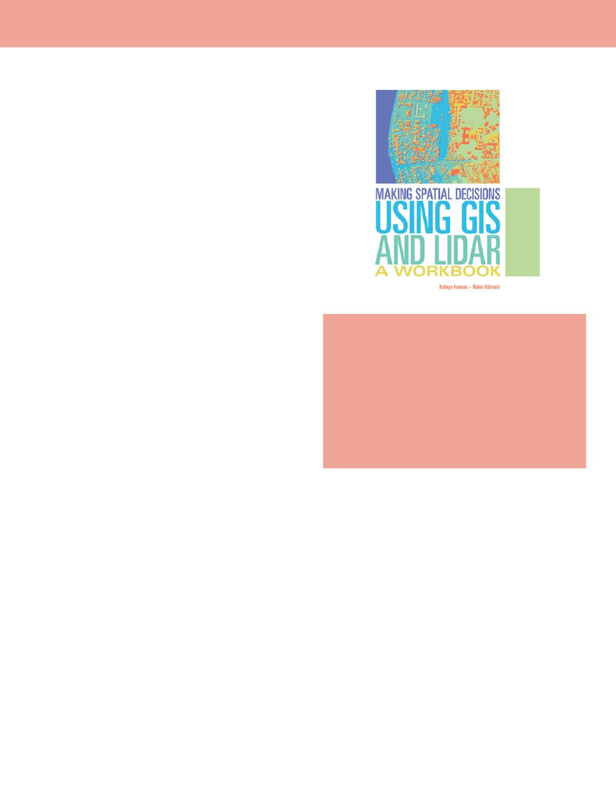
Making Spatial Decisions Using GIS and
Lidar: A Workbook
Kathryn Keranen and Robert Kolvoord
ESRI Press Academic, 380 New York Street, Redlands, CA 92373.
Viii and 200 pp, Image and Data Credits, Data License Agreement.
Trade paper, $79.99, ISBN 9781589484290
Reviewed by
Connie Li Krampf, CP, CMS, MSCS,
Certified Photogrammetrist, James W. Sewall
Company.
Lidar data has been used in the research, decision making
and commercial mapping environments for more than decades
but is still a relatively new technology. It is not uncommon
that maximizing the use of Lidar data is a daily challenge for
practitioners in the geospatial industry. With the technology
rapidly changing and developing, Lidar data is more available
than ever, and how to make the Lidar data best benefit the
geospatial industry and its customers becomes an even bigger
task. The book Making Spatial Decisions Using GIS and Lidar
provides detailed instructions for the user to fulfill these tasks.
As a college-level text book, its aim is to educate the college
student and GIS professional to utilize ArcGIS analysis tools
to analyze, interpret and apply Lidar data as a significant
aspect of geoprocessing so the results or product can be well
used in the spatial decision making process.
The book is organized by following a workflow of defining
the problem or scenario, identifying the deliverables needed
to support decisions, documenting and setting environments
and examining the data, and performing analysis starting
with a basemap. During the exercises, the student answers
the questions proposed in the book so that the procedures
performed and related concepts can be understood. The book
consists of 10 modules. Each module includes three projects or
exercises.
In the first project, the book provides step-by-step
instructions in great detail from creating a GIS basemap to
the final deliverable. From these instructions, the student
learns specific ArcGIS tools for geoprocessing, parameter
settings required for each tool used. In the second project, the
instructions are still provided but not in as much detail as in
project one. Project three is “On You Own”. This means that
the student will have to acquire her/his own data, identify the
study area and finish the project without given instructions.
All 10 modules in the book follow the same format.
The authors provide the datasets necessary for the work in
projects one and two including geodatabase, Lidar datasets,
and worksheets with questions that are related to the project.
Student can download 180-day trial of ArcGIS software
used in the book for practice from the bool resource website
indicated in the book. The book focuses on scenario-based
problem solving by teaching student to explore and use rich
analysis tools in ArcGIS software including the ArcMap,
ArcScene, and ArcGIS tools developed for Lidar-related data
analysis. All scenarios have designs based on real Lidar data
that is available to the public. In order to most efficiently use
the book, the user should have basic skill levels and knowledge
of ArcGIS software. The technical prerequisites are detailed
by the authors in the introduction to the book.
The book covers varieties of Lidar data related analysis
technology. Student will learn about basic Lidar techniques,
2D and 3D modeling by using raster and terrains data,
volumetric analysis and making shadow maps, visibility
analysis comparison in the study area and presenting the
surging seas on the map in the Modules 1 through 5 based
on the Lidar data provided. In the Modules 6 and 7, student
will explode the techniques to reclassify the Lidar data for 3D
campus modeling, and locating solar panels on campus map.
Module 8 directs student to use Lidar data to analyze the
shoreline change after Hurricane Sandy by using the ArcGIS
Lidar-data related analysis tools to calculate the elevation
difference between pre- and post- Sandy Lidar data. In Model
9, student will learn how to calculate the forest vegetation
height by using Lidar data and ArcGIS analyst tools. Student
will learn to use Lidar data and ArcGIS analyst tool for
depressional wetland delineation in Module 10.
This book follows the logic of the learning process. In each
module, three projects are designed so that the same techniques
and skills are applied repeatedly while working with different
data. The book is intended to teach the student to master the
tools for analyzing Lidar data and explanations for each tool
are provided by the authors to help the student understand not
just the techniques but also the concepts. For example, in the
chapter Part1: Calculate Statistics and Build a LAS Dataset in


