PHOTOGRAMMETRIC ENGINEERING & REMOTE SENSING
September 2016
671
by
Clifford J. Mugnier, CP, CMS, FASPRS
T
he landmass east of the Dardanells, the Sea
of Marmara, and the Bosporus is known
as Anatolia. The region was inhabited by
an advanced Neolithic culture as early as 7,000
B.C.
, and metal instruments were in use by
2,500
B.C.
The Hittite culture was replaced by
several peoples until the 4th century
B.C.
when
Alexander the Great of Macedonia conquered all
of Anatolia. The Byzantine Empire ruled Anatolia
until defeated by Seljuk Turkish forces in 1071
A.D.
Troops of the Osmanli Dynasty moved into
southern Europe and defeated Serbian forces
at the battle of Kosovo in 1389. The Ottoman
Empire flourished until multinational European
forces drove Ottoman troops to cede substantial
European territory in the Treaty of Karlowicz
(1699). During WWI, the Turkish alliance
with the Kaiser caused England, France, and
Russia to declare war on the Ottoman Empire.
After WWI, Atatürk, founder of the present-day
Republic, repulsed a Greek attempt to expand
Greece’s postwar allotment of Ottoman territory.
The Palestine was lost to the French and British
Mandates, and the 1923 Treaty of Lausanne,
negotiated between the Atatürk government
and the Allies, defined control of the Bosporus
and the territorial extent of the new Republic
of Turkey. During WWII, the government of
Atatürk’s successor, Ismet Inönü, maintained
neutrality despite German pressure throughout
the war. Turkey is now a member of NATO and
of the United Nations, and is becoming part of
the European Union.
REPUBLIC OF
The Grids & Datums column has completed an exploration of
every country on the Earth. For those who did not get to enjoy this
world tour the first time,
PE&RS
is reprinting prior articles from
the column. This month’s article on the Republic of Turkey
was
originally printed in 2005 but contains updates to their coordinate
system since then.
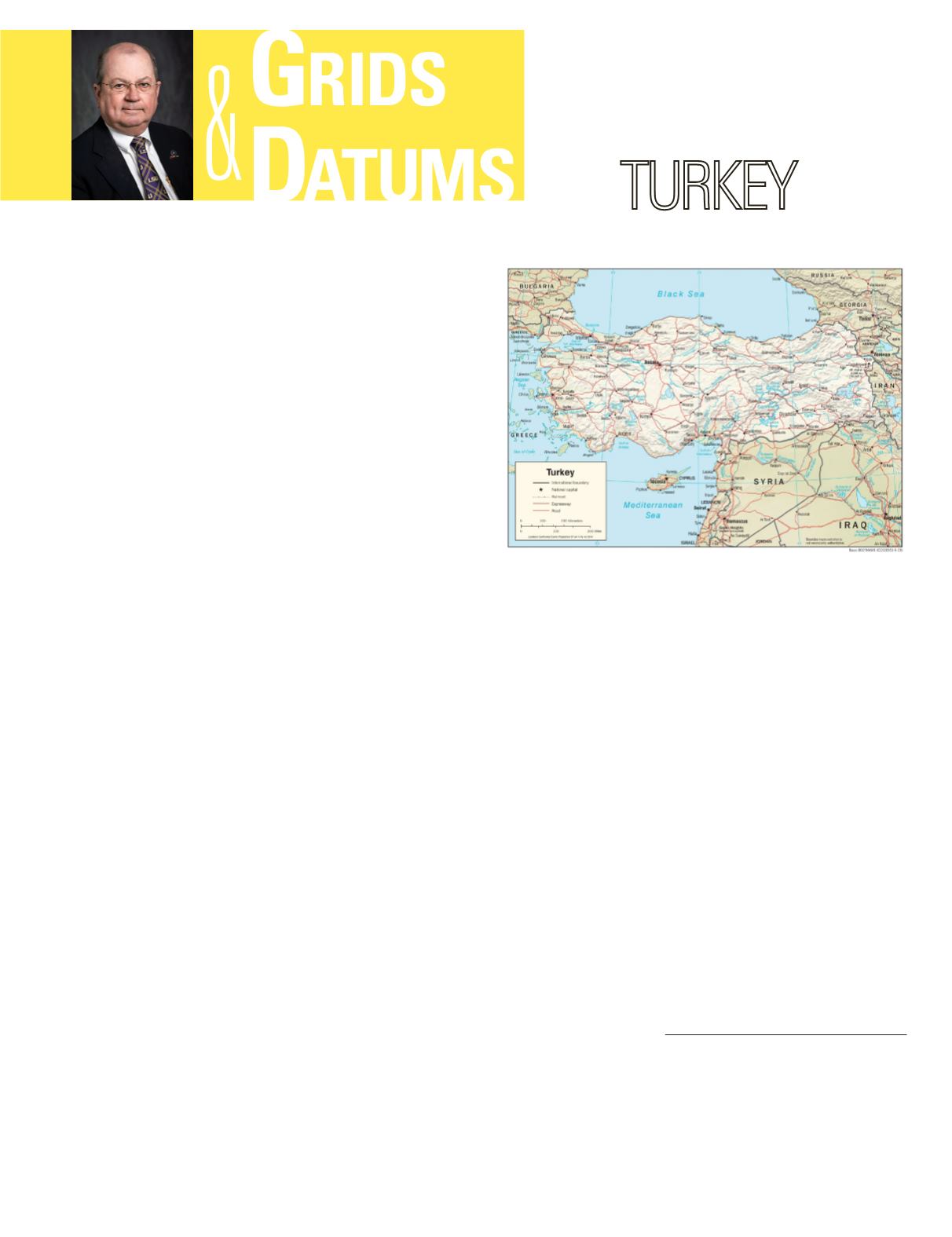
The westernmost extremity of Turkey is Thrace, the
European segment bounded by Bulgaria (240 km) (
PE&RS
,
January 2002), and Greece (206 km) (
PE&RS
, December
2002), on the north by the Black Sea, on the Southwest by
the Aegean Sea, and on the southeast by the Sea of Marmara.
Anatolia is a peninsula surrounded on the north by the Black
Sea, on the south by the Mediterranean Sea, Syria (822 km)
(
PE&RS
, September 2001) and Iraq (352 km), on the west by
the Aegean Sea, on the northwest by the Sea of Marmara, on
the east by Iran (499 km), Azerbaijan (9 km), and Armenia
(268 km), and on the northeast by Georgia (252 km).
In 2004, the International Society for Photogrammetry
and Remote Sensing convened its XXth Congress in Istanbul,
Turkey. Associated with that meeting, the General Command
of Mapping in Ankara prepared a marvelous text available
in a PDF file entitled
The Illustrated History of Turkish
Cartography
. The oldest map in history was found at
Çatalhöyük in central Anatolia, and was dated as originating
in 6,200
B.C.
with Carbon
14
methods. The next major
contribution to Turkish cartography was by Pirî Reis, born
in the late 1460s. He was a pirate, naval admiral, captain
Photogrammetric Engineering & Remote Sensing
Vol. 82, No. 9, September 2016, pp. 671–674.
0099-1112/16/671–674
© 2016 American Society for Photogrammetry
and Remote Sensing
doi: 10.14358/PERS.82.9.671


