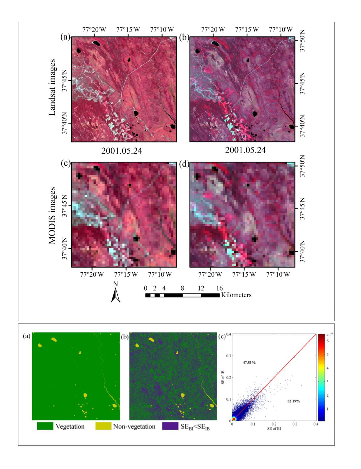
Figure 8. (a) Landsat image of the forest area on 24 May 2001; (b) Landsat image of the forest area on 11 July 2001; (c)
simulated
MODIS
images on 24 May 2001; and (d) simulated
MODIS
images on 11 July 2001 (Gao
et al
., 2006).
Figure 9. (a) Vegetation areas obtained after masking the water; (b) comparison of the
BI
and
IB
results for the forest area; and
(c)
SE
of
IB
and
IB
in the forest area, where the data below the 1:1 line correspond to the pixels with smaller
IB
error.
72
February 2018
PHOTOGRAMMETRIC ENGINEERING & REMOTE SENSING


