extent of the affected area. A set of
UAVs
in cooperation was
the proposed system. Also, simulated experiments were car-
ried out in Smídl and Hofman (2013) to model the tracking of
a plume of air contaminated by a nuclear leak based on
UAVs
;
the proposed model also considers weather forecasting for the
purpose of replacing stationary sensor networks.
Post-disaster surveillance with measurements after radio-
active leaks is possible for monitoring the disaster and its
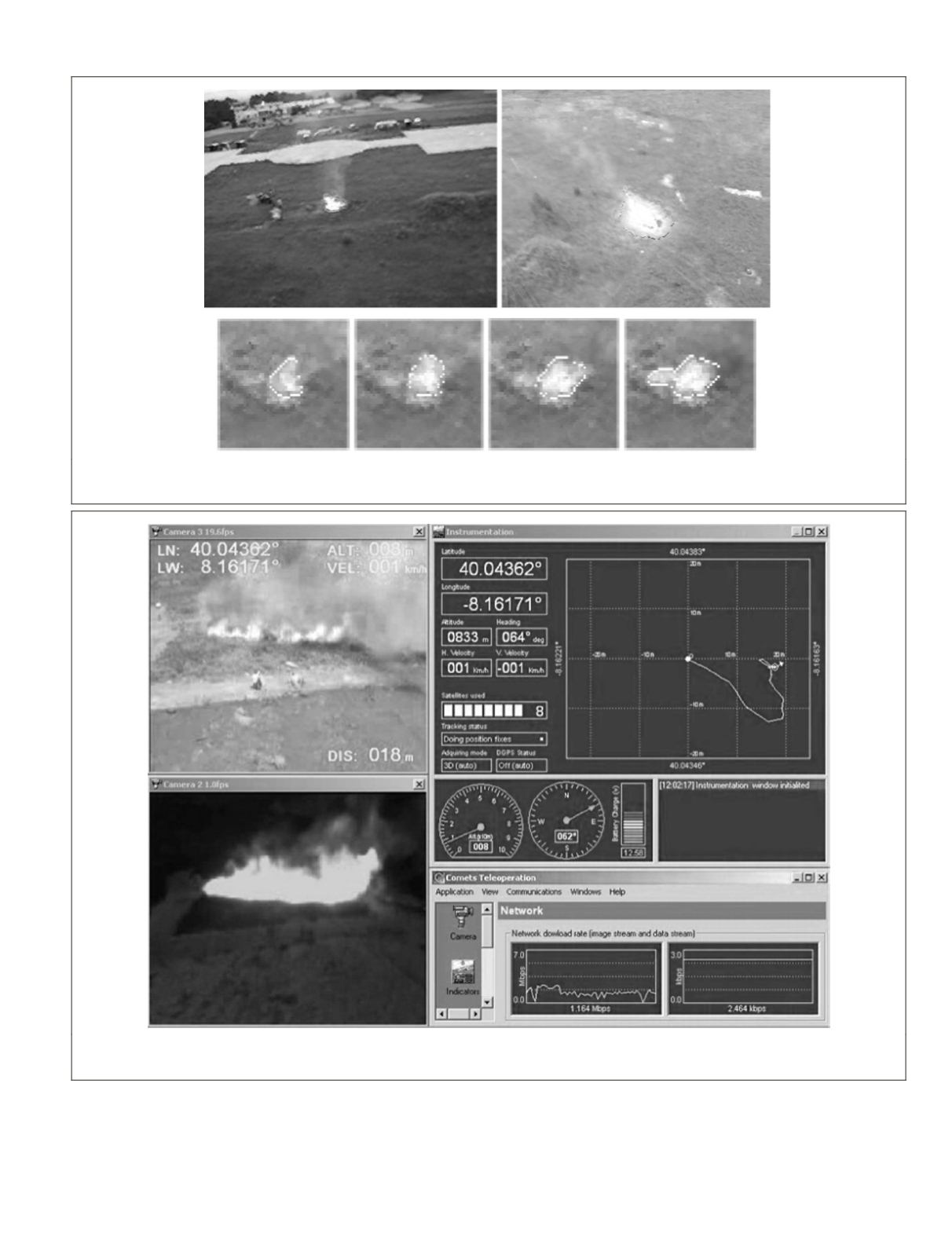
Figure 8. Fire monitoring with flame identification and its expansion over time (Images courtesy of J.R. Martínez-de-Dios and A. Ollero;
Robotics, Vision, and Control Group, University of Seville, Seville Spain)
Figure 9. Interface Human Machine in the
gcs
: visible and infrared images, dynamic parameters, trajectory, and tele-operation (Image
courtesy of J.R. Martínez-de-Dios and A. Ollero; Robotics, Vision, and Control Group, University of Seville, Seville Spain).
PHOTOGRAMMETRIC ENGINEERING & REMOTE SENSING
April 2015
299


