890
December 2015
PHOTOGRAMMETRIC ENGINEERING & REMOTE SENSING
PROFESSIONAL
INSIGHT
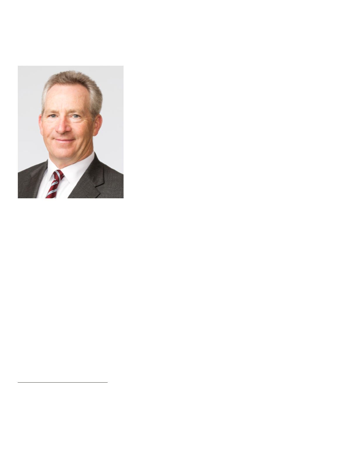
Stuart Blundell is the Director of Strategy and Business Development at
Geospatial Solutions, Space and Intelligence Systems, Harris Corporation.
Previous to joining Harris Corporation, Mr. Blundell was the Vice President
of Geospatial Products & Solutions at Textron Systems Overwatch where
he oversaw the RemoteView product line in support of the NGA System for
Geospatial-Intelligence (NSG). In 1997 Mr. Blundell was the co-founder of
Visual Learning Systems (VLS), a nationally recognized Small Business
Innovative Research (SBIR) company, which was acquired by Overwatch
in 2006. Mr. Blundell holds a Bachelor of Science degree in geophysical
engineering and a Master of Science degree in geology from the University of
Wyoming.
I N T E R V I E W
STUART BLUNDELL
What was the reasoning behind launching the ENVI
Analytics Symposium?
“The biggest driver was my interest in having a communi-
ty dialogue on the future of geospatial analytics at a time
when we, the remote sensing community, are not con-
strained by access to data or computing resources. Yes,
of course we are always balancing the trade-offs on costs
for these two parameters, but on the whole, we are de-
veloping a new branch of geospatial data science. With
that thought in mind, we asked our customers, business
partners and research colleagues to join us in Boulder,
Colorado for a symposium on this topic. The response was
amazing, with 160-plus thought-leaders from 80 compa-
nies addressing the topics of algorithms, applied research,
phenomenology and geospatial Big Data analytics.”
Did the EAS achieve what you hoped it would?
“Yes, it did! The energy that permeated the EAS was
amazing. It resulted from the spirit of community collabo-
ration, exploration and dialogue around a new global mar-
ket opportunity for geospatial information services. Many
of my friends and colleagues pulled me aside to say how
invigorated they felt being part of EAS. On reflection, I
think this was because of the size of the event (160 people),
the location and setting (the St. Julien Hotel at the base of
the Flatirons in Boulder), the quality of the presentations
and the impeccable organization and hosting by the Harris
VIS team. We are going to do it again in August 2016 with
the same level of quality, freshness and scientific insight.”
What was your biggest insight gained from the EAS?
“For me, the 2015 EAS re-affirmed my belief that remote
sensing of the earth and geospatial science (GIS) can ad-
dress so many of the challenging issues we face as a global
community. For example, the water, food and energy nex-
us requires a collaborative geospatial analytical approach
to forecast patterns, trends and signatures to support
long-term government planning. The types of research
discussed at EAS directly support the growing needs of
policymakers to consider the regional geospatial and eco-
system framework as a whole, and not make resource
management decisions on the basis of fragmented infor-
mation. Remote sensing addresses this gap in thinking
and the EAS agenda focuses on geospatial analytic tech-
niques in an era of persistent earth imaging.”
What challenges and opportunities do you see for the
Geospatial industry both in the short term and long term?
“One of the most interesting presentations at the EAS this
year was by Dr. Ursula Benz of CloudEO who addressed
the topic of a ’sharing economy‘ from a geospatial cloud-in-
frastructure perspective. We all hear about the phenom-
Photogrammetric Engineering & Remote Sensing
Vol. 81, No. 12, December 2015, pp. 890–891.
0099-1112/15/890-891
© 2015 American Society for Photogrammetry
and Remote Sensing
doi: 10.14358/PERS.81.12.890


