PHOTOGRAMMETRIC ENGINEERING & REMOTE SENSING
December 2015
895
BOOK
REVIEW
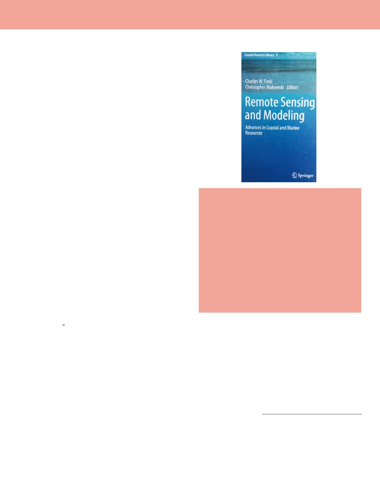
Remote Sensing and Modeling:
Advances in Coastal and Marine
Resources
Charles W. Finkl and Chistopher Makowski, eds.
Vol. 9
Springer, 2014. Xx and 502 pp., diagrams, maps, images, photos,
index. Hardcover. $179.00 ISBN 978-3-319-06326-3
Reviewed by:
John S. Wood, Post-Doctoral
Research Fellow, Harte Research Institute for Gulf
of Mexico Studies, Texas A&M University-Corpus
Christi, TX.
In 2010, the Gulf of Mexico experienced a drilling disaster:
the Deepwater Horizon oil spill killed 11 crewmen, spilled an
estimated 4.9 million barrels of crude oil, and gushed for 87
days. This disaster of epic proportions has spurred marine
and coastal research and recovery efforts and made even
more obvious the need for advances in remotely sensed data
in the coastal and marine environments.
Remote Sensing and Modeling: Advances in Coastal
and Marine Resources
is an organized collection of diverse
chapters that provide an overview of four different areas in
which significant advances have occurred:
Part I, with seven chapters and 190 pages, reviews remote
sensing of coastal ecosystems and environments, the use of
Laser Airborne Depth Sounding (LADS), laser scanning,
satellite imagery, and X-Band Radar. The first chapter is well-
referenced and does a thorough job of describing technologies
commonly used in coastal and wetland studies. The second
chapter compares two technologies (High Density Airborne
Laser Bathymetry and Satellite Multispectral data) used
in separate locations, carbonate reefs along the southeast
Florida coast and open waters near the Marquesa Islands in
the Florida Keys, and does a good job of enumerating many of
the ‘pros and cons’ of each method. Other chapters introduce
Terrestrial Laser Scanners (TLS), various satellite-sensed
imagery, and the results of an assessment of geomorphologic
studies using various geospatial and remotely sensed data
sets. The last chapter goes into detail on the use of X-band
radar to study foreshore changes.
Part II, with five chapters, 121 pages, examines advances
in the study and interpretation of oceans, estuaries, sea
level rise and water quality. The first chapter of this section,
Chapter 8, presents ‘Digital Ocean’, a research subset of
the conceptual Digital Earth model envisioned by Al Gore
in the 1990’s. This chapter introduces the reader to the
model layers and architecture, as well as introducing a case
study of Digital Ocean the China Digital Ocean Prototype
System (CDOPS). Chapter 9 presents the case study of a
hybrid model to estimate seasonal sea-level variations from
freshwater river discharges into a semi-enclosed bay system.
The steps detailed in this chapter outline the basic steps
in model development and assessment, which can be quite
useful to the reader. Chapter 10 introduces advances in
modeling water quality in estuaries. While the author seems
to confuse seaweed, an algae, and seagrass, an angiosperm,
he does a great job of explaining the model used and the
variables involved. Chapter 11 summarizes the use of video
monitoring in understanding long-term (i.e., years to decades)
beach morphological changes. Wave forcing and beach
morphodynamics characterized by evaluating a continuous
offshore wave time series. Chapter 12 examines the use of
Landsat 5 imagery to generate spatially distributed water
quality data. This is then used in water quality models to
improve their performance to simulate sediment transport,
predict and monitor salinity, and algal blooms.
Part III, with 5 chapters and 111 pages, concentrates on
modeling of coastal areas using field data, remote sensing,
Geographic Information Systems, and numerical simulations.
Various sensors, such as SAR, lidar, IR aerial imagery,
MODIS, MERIS, SeaWiFS, HICO, Landsat, and APES are
used with a variety of processing software to monitor a
variety of coastal water quality parameters, create hazard
predictions, and predict shoreline changes. Authors in this
Photogrammetric Engineering & Remote Sensing
Vol. 81, No. 12, December 2015, pp. 895–896.
0099-1112/15/895–896
© 2015 American Society for Photogrammetry
and Remote Sensing
doi: 10.14358/PERS.81.12.895


