PHOTOGRAMMETRIC ENGINEERING & REMOTE SENSING
April 2018
183
by
Clifford J. Mugnier, CP, CMS, FASPRS
A
rchaeological evidence has un-covered the existence
of man during the Paleolithic Period (Old Stone Age)
in what is now m
od
ern Israel. During the subsequent
Neolithic Period (New Stone Age), humans had cultivated
crops and built towns, such as Jericho, by 7,000
BC
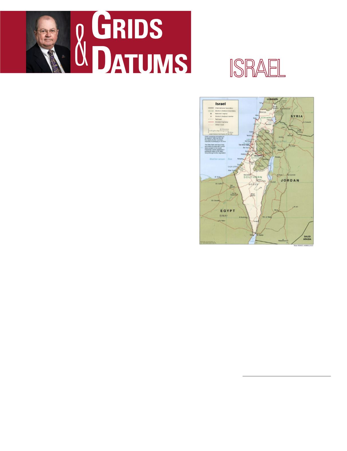
. Israel is
hilly in the North, and its highest peak is Mt. Meron at l,l25
m (3,692 ft). It is bounded on the North by Lebanon, on the
West by the Mediterranean Sea, on the East by Syria and
Jordan, by Egypt to the South-west, and by the Negev Desert
to the South with the Gulf of Aqaba at its extreme South-
ern port. The State of Israel was established by decree of the
United Nations on 15 May 1948.
The first serious mapping of Israel on modern lines was un-
der-taken in 1798 by Napoleon, as an ex-tension of his survey
of Egypt. A Topographic Section was formed which consisted
of four officers, an astronomer, and four “intelligent soldiers.”
Bases were measured at Alexandria and Cairo by the “Ser-
vice Topographique de l’Armee d’Egypte,” and topographic
maps were compiled using a 10 km grid with an origin at
the great pyramids of Giza. The coastline depicted on these
early French topographic maps was actually based on British
Admiralty Charts. Survey work on the ground was completed
late in 1801, and, by the end of 1803, compilation in Paris
had reached a stage where the maps could be engraved on
copper plates. The sheets were printed in 1808, but Napoleon
ordered that they should remain under seal as state secrets.
The maps were not finally published until 1817.
In 1865, Captain C. W. Wilson, RE (later Major General Sir
Charles Wilson), surveyed the City of Jerusalem at a scale of
1:2,500. The success of Wilson’s survey led directly to the es-
tablishment of an association called the Palestine Exploration
Fund (PEF). November of 1871 was the beginning of the PEF
surveying and mapping activities, and by 1874 Lieutenant
H. H. Kitchener, RE (later Field Marshal Lord Kitchener of
Khartoum), arrived to assist Lieu-tenant C. R. Conder in the
first successful mapping expedition of the entire region since
Napoleon’s at-tempt. Conder’s report speaks of oak forests and
bears, wolves, wild pig, cheetah, deer, antelope, and a great
THE STATE OF
The Grids & Datums column has completed an exploration of
every country on the Earth. For those who did not get to enjoy
this world tour the first time,
PE&RS
is reprinting prior articles
from the column. This month’s article on The State of Israel was
originally printed in 2000 but contains updates to their coordinate
system since then.
variety of game birds. The fauna were the same as reported in
the Bible except for the lion, last re-corded by the Crusaders in
the 12
th
century. The surveying and mapping was completed
by 1878 and comprised 26 sheets, all based on a single Cas-
sini-Soldner projection with a Central Meridian (
λ
o
) = 34° 56´
East of Greenwich. The ellipsoid of reference was the Clarke
1866. There was no Grid associated with this sheet series
where each map measured 15´ from north to south and 22´
from east to west. Sir Arden-Close remarked, “It is interesting
to note that the field work was done by prismatic compass and
that no plane-table was used, though, in general, the country
lends itself remarkably well to plane-tabling. The reason given
by Conder was that the members of the party moved every-
where on horse-back, and that a plane table is an in-convenient
thing to carry on a horse.” Conder and Kitchener super-vised
Stanford’s engraving of the final maps in 1881.
Photogrammetric Engineering & Remote Sensing
Vol. 84, No. 4, April 2018, pp. 183–185.
0099-1112/17/183–185
© 2018 American Society for Photogrammetry
and Remote Sensing
doi: 10.14358/PERS.84.4.185


