PHOTOGRAMMETRIC ENGINEERING & REMOTE SENSING
September 2019
627
by
Clifford J. Mugnier, CP, CMS, FASPRS
B
ulgaria was invaded by the Bulgars, a Ural-
Altaic people who lived between the Don
River and the Caucasus Mountains in the
6th century A.D. In the 7th century they settled
in Bessarabia, crossed the Danube River, became
Slavicized, and then became the first Slavic power
in the Balkans. Bulgaria was part of the Ottoman
Empire from the Turkish conquest (1340-1396) until
22 September 1908. Invaded by the USSR in 1944,
its latest constitution was adopted on 12 July 1991.
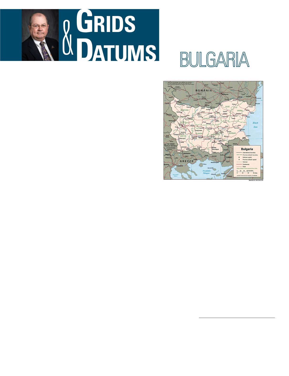
Bulgaria is bordered by Greece (494 km), Macedonia
(148 km), Rômania (608 km), Serbia (318 km), and
Turkey (240 km). All of its borders have been either
intervisibly monumented for nearly a century, or
comprise riparian boundaries according to the
Rule
of the Thalweg
. The terrain of Bulgaria is mostly
mountainous with lowlands in the north (Danube
Valley) and in the southeast. The lowest point is the
Black Sea, the highest point is Musala at 2,925 m,
and the area of Bulgaria is slightly larger than that
of Tennessee.
The first knownmap of Bulgaria, “Map of the Danube’s Down-
stream,” was published in Rome by A. Zaferi in 1560. Johan van
der Brugen published a travel map of Bulgaria in 1737, Priest
Constantin’s map was published in Vienna by D. Davidovich
in 1819 at a scale of 1:350,000, and Hristo G. Danov produced
a 1:1,000,000-scale map of European Turkey in 1863. The ear-
liest large-scale geodetic surveys of Bulgaria were carried out
in 1877 at the start of the Russo-Turkish War. This triangula-
tion was based initially on astronomic fixes from the military
campaigns in Bulgaria of 1828-1829. An instrumental survey
was undertaken at that time following the main roads and riv-
ers, with land in between field-sketched. Between 1828 and
1833 the Russian troops surveyed the greater part of eastern
Rumelia and north and west Bulgaria at 1 and 2 Verst scales
REPUBLIC OF
The Grids & Datums column has completed an exploration of
every country on the Earth. For those who did not get to enjoy this
world tour the first time,
PE&RS
is reprinting prior articles from
the column. This month’s article on the Republic of Bulgaria was
originally printed in 2002 but contains updates to their coordinate
system since then.
(1:42,000 and 1:84,000). The projection used was the Russian
favorite at the time, the Müffling or Polyhedric. The Turkish
authorities agreed to allow Russian military surveyors to re-
connoiter between 1867 and 1869 in order to ascertain suitable
locations for the subsequent triangulation! Thirty-one new fixes
were determined astronomically, and five itineraries were car-
ried out which formed the basis of a new triangulation chain.
The triangulation carried out during the Russo-Turkish war
of 1877-1879 by Russian Military Topographers is known as the
Lebedev Net after the colonel in charge of geodetic observations.
The field observations were carried out by three main groups,
Col. Lebedev in the west, Col. Jarnefeldt in the center and in
overall charge of the topographers and plane tablers, and Maj.
Zhdanov in the east. Staff Captain Schmidt carried out the tri-
angulation of the Dobrudzha. Because of military exigencies,
the plane table survey was carried out concurrently with the
triangulation. As a result of this, the coordinates of many of
the triangulation stations in the central part of Bulgaria had
not been calculated by the time the plane table mapping was
performed. The plane table sheets therefore had to be aligned
Photogrammetric Engineering & Remote Sensing
Vol. 85, No. 9, September 2019, pp. 627–630.
0099-1112/19/627–630
© 2019 American Society for Photogrammetry
and Remote Sensing
doi: 10.14358/PERS.85.9.630


