from a single direction for the shading of the terrain relief.
Hillshading is typically used to display shaded relief images,
however, it was observed that this feature provided important
information regarding topographic variability found in land-
slide morphology, for this reason, hillshading was included.
The shaded relief images used throughout this paper and sur-
face feature extractor follow the approach described in Katzil
and Doytsher (2003).
Roughness
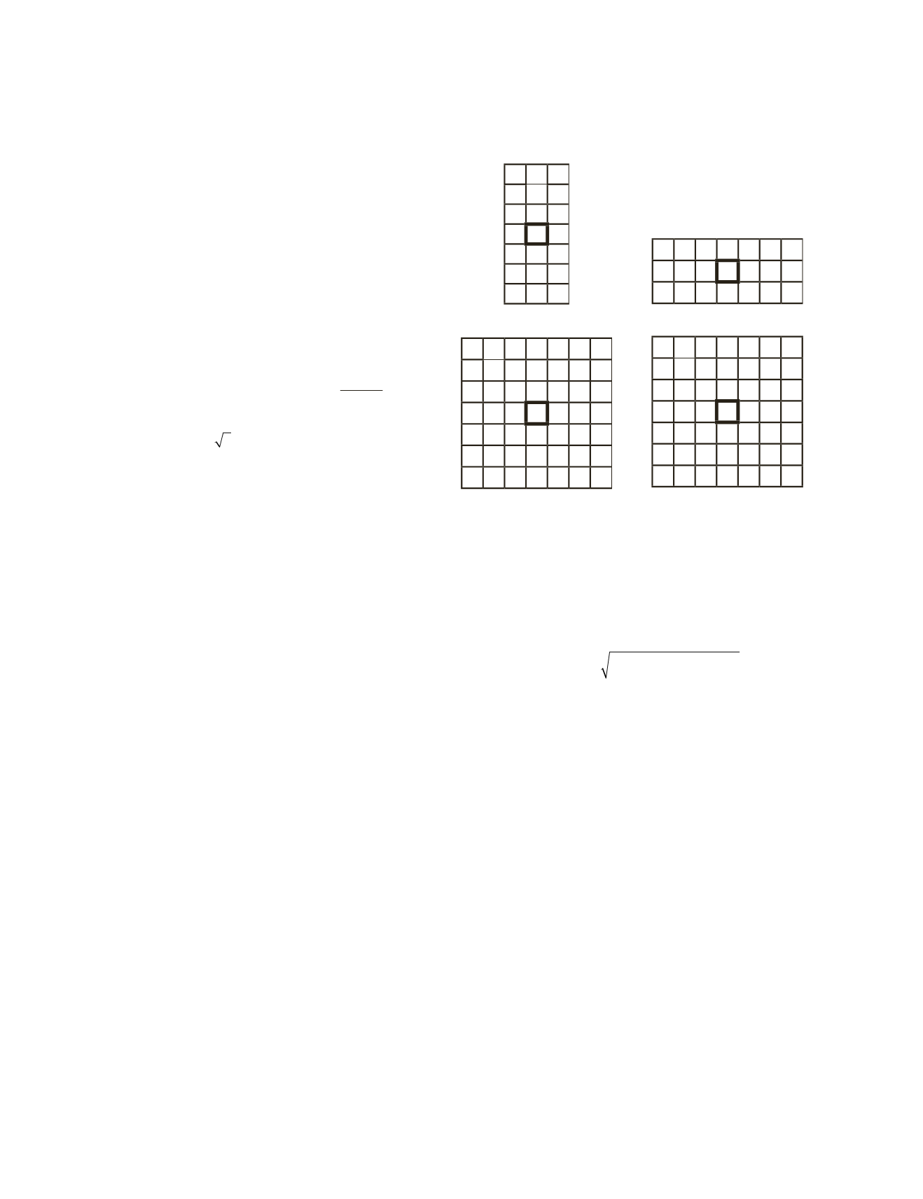
The metric used to quantify deviations of a surface is called
roughness. If the deviations are small, the surface is considered
to be smooth, and if the deviations are high, it is considered
rough. Roughness can be evaluated by computing the largest
inter-cell difference of a central pixel and its surrounding cells
using Equation 1,
R = Max(Z
ij
– Z
11
)
, where
i = 0-2
,
j = 0-2
.
Slope
The maximum rate of change between a cell and its neighbors
is known as slope. It is evaluated by computing the steepest
descent of a
DEM
using Equation 1,
S
D
8
=
max
Z Z
h
ϕ
(ij)
ij
−
11
m
i = 0-2
,
j = 0-2
. Where
ϕ
(ij) = 1
for the cardinal (north, south,
east, and west) and
ϕ
(ij) =
2 for the diagonal neighbors.
Direction Cosine Eigenvalue Ratios
The eigenvalue ratios express the amount of roughness in
three-dimensional surfaces (Kasai
et al.
, 2009). The vec-
tors are defined by their direction cosines:
x
i
= sin
θ
i
cos
ϕ
i
,
y
i
= sin
θ
i
sin
ϕ
i
and
z
i
= cos
θ
i
, where
θ
i
is the colatitude, and
ϕ
i
is the longitude of a unit orientation vector as described in
McKean and Roering (2004). When considering
(x
1
, y
1
, z
1
)…
(x
n
, y
n
, z
n
)
as a set of
n
unit vectors perpendicular to each cell
in the
DEM
, the orientation matrix,
T
, may be constructed,
see Equation 2. Next, the eigenvalues are computed for
T
,
consequently,
ln(
λ
1
/
λ
2
)
and
ln(
λ
1
/
λ
3
)
are evaluated, where,
λ
k
is
the eigenvalue for
k = 1,2,3
. The ratios of normalized eigen-
values are often not normally distributed; for this reason, the
logarithms of the ratios are evaluated (McKean and Roering,
2004). Lower eigenvalue ratios indicate that the unit orienta-
tion vector of the cells will have higher degrees of surface
roughness (Woodcock, 1977; McKean and Roering, 2004).
T
x
x y x z
y x y
y z
z x z y
z
i
i i
i i
i i
i
i i
i i
i i
i
=
∑ ∑ ∑
∑ ∑ ∑
∑ ∑ ∑
2
2
2
(2)
Resultant Length of Orientation Vectors
Another way to evaluate topographic variability is by comput-
ing the resultant length of orientation vectors in three dimen-
sions in a sampling window from the direction cosines used
to compute the eigenvalue ratios as illustrated in McKean and
Roering (2004),
RL
= ((
∑
x
i
)
2
+ (
∑
y
i
)
2
+ (
∑
z
i
)
2
)
½
, where
RL
is the
resultant length of orientation vectors. This measure can be
used to define surface roughness as variations within local
neighborhoods will be coincident for smooth topography,
and greater variations will be displayed for rough topography
(McKean and Roering, 2004).
Customized Sobel Operator
The Sobel operator computes an approximation of the gradi-
ent of the image intensity function. At each point in the
image, the result of the Sobel operator is defined as either the
corresponding gradient vector or the norm of this vector. The
Sobel operator is based on convolving the image with a small
and separable filter usually in a horizontal and vertical direc-
tion (Gonzalez and Woods, 2002).
Various kernels were evaluated, yet none of those tested
provided unique characteristics depicting landslide morphol-
ogy. However, the kernels selected did extract distinctive fea-
tures, thus, enhancing those found in landslides. The kernels
of the connected neighborhood cells are as follows:
2 0 -2
2 0 -2
2 0 -2
2 0 -2
2 0 -2
2 0 -2
2 0 -2
(A)
2 2 2 2 2 2 2
0 0 0 0 0 0 0
-2 -2 -2 -2 -2 -2 -2
(B)
0 0 0 0 2 0 0
0 0 0 2 2 0 0
0 0 2 2 0 -2 -2
0 2 2 0 -2 -2 0
2 2 0 -2 -2 0 0
0 0 -2 -2 0 0 0
0 0 -2 0 0 0 0
(C)
0 0 -2 0 0 0 0
0 0 -2 -2 0 0 0
2 2 0 -2 -2 0 0
0 2 2 0 -2 -2 0
0 0 2 2 0 -2 -2
0 0 0 2 2 0 0
0 0 0 0 2 0 0
(D)
(3)
The kernels used to compute the gradients in horizontal
(G
x
)
,
vertical
(G
y
)
, diagonal left
(G
dl
)
, and diagonal right
(G
dr
)
direc-
tions are illustrated in Eq.uation (3A), (3B), (3C), and (3D),
respectively. The magnitude of the gradient was computed by
modifying the typically used form illustrated in Gonzalez and
Woods (2002) to include all directions:
G G G G G
x
y
dl
dr
= + + +
2
2
2
2
(4)
Soil Types
Soils have been widely considered in landslide susceptibil-
ity mapping studies (e.g., Wieczorek
et al.
, 1996; Gomez and
Kavzoglu, 2005). The six primary soil types found within the
study area consists of alluvium, glacial outwash, lacustrine
soils, colluvium, residual soils, and manmade fill. Berks-
Westmoreland complex (Bkf) soil found in 40 to 70 percent
slopes was the soil type for approximately 92 percent of the
mapped landslides in our study area, and was considered
highly susceptible to landslides compared to all other soil
types. Bkf has the most rugged terrain in the county and it is
common to see unstable slopes in this soil type, in addition,
the soil has a severe hazard of erosion. Moreover, cuts made
along these slopes are unstable for building sites (Steiger,
1996). For these reasons, the underlying soil was considered
an important surface feature to map landslides.
Landslide Classification
Extracting landslide surface features is the core step in land-
slide susceptibility mapping. To quantify topographic rough-
ness it is necessary to understand and delineate the charac-
teristics found in landslide morphology. Therefore, a sample
set representing these distinct features is necessary.
SVM
is a
supervised classification method that is well established, and
known to produce acceptable results in landslide susceptibil-
ity mapping (Samui, 2008; Yao,
et al.
, 2008; Marjanović,
et al.
,
2011; Micheletti,
et al.
, 2011; Ballabio and Sterlacchini, 2012;
Tien Bui
et al.
, 2012). The objective is to classify the lidar-
derived
DEM
based on the extracted surface features. In order
242
March 2015
PHOTOGRAMMETRIC ENGINEERING & REMOTE SENSING


