unique terrain, its geologically rich sedimentary soil, and its
ample precipitation. The park contains almost forty percent
virgin forest cover. The extreme slopes found in the park as
well as the other environmental variables create a unique op-
portunity for tall trees to exist undisturbed. It also complicates
efforts to make accurate field measurements of those trees.
Previous Work and Objectives
Ian Breckheimer of the University of North Carolina performed
a similar unpublished study of tree heights in the North Caro-
lina portion of the
GRSM
in 2011 using lidar data obtained by
the State for their Floodplain Mapping Program. His methodol-
ogy focused on specific areas where arborists had given anec-
dotal evidence concerning potential sites, whereas this study
follows a more automated and comprehensive approach to
obtaining candidate sites. Breckheimer’s work included a Max-
ent (commonly used method for modeling species distribution)
ecological model for tall tree (in this case, >54.9 meters) suit-
ability sites which included variables that considered eleva-
tion, topographic moisture, aspect, and disturbance history.
Previously, the Eastern Native Tree Society (
ENTS
) reported
a tulip tree (
Liriodendron tulipifera
) with a height of 58.0
m as the tallest recorded tree in the
GRSM
, found in North
Carolina in the Fork Ridge Trail area using lidar data obtained
for the North Carlonia floodplain mapping program. (Rucker,
2011). Correspondence on the
ENTS
website
(
.
org)
reported the tallest tree recorded to-date in the Tennes-
see portion of the
GRSM
is a 52.7 m tulip tree on Porters Creek
near Gatlinburg, Tennessee.
This work will provide a unique methodology to process
large volumes of recently acquired lidar data for the Tennes-
see portion of the
GRSM
. The specific objective of this study
is to show that these data can be used to detect trees that are
taller than have ever been measured in the eastern US. It is
also intended to show how remote sensing technologies, such
as lidar, can be used to encourage public interest in these
technologies and demonstrate the types of questions that they
can help answer.
T
able
1. L
idar
S
ensor
S
pecifications
Sensor
Optech ALTM Gemini
Leica ALS-60
Altitude (AGL)
1981.2 m
Not listed
Speed
110 knots
150 knots
Scan frequency
20.2 Hz
34 Hz
Scan angle
± 16°
± 16°
Pulse frequency 50 kHz
53 kHz
Data
Researchers at the Center for Remote Sensing and Mapping
Science (
CRMS
) in the Department of Geography at the Univer-
sity of Georgia and the Lewis F. Rogers Institute for Environ-
mental and Spatial Analysis (
IESA
) at Gainesville State College
(
GSC
) collaborated on a project to collect high-resolution
orthoimagery and lidar data of the
GRSM
and adjacent Foot-
hills Parkway as part of the
USGS
Geospatial Program to add
imagery and elevation data to The National Map. A total of
111 flight lines were used to ensure complete coverage of high
resolution (30 cm) four-band orthoimagery and approximately
one-meter point spacing (0.69 m) point clouds of lidar data
covering the study area (Figure 2). The lidar data used in this
study were acquired by Photo Science, Inc. using both a Leica
ALS-60 sensor and an Optech ALTM Gemini sensor. Both sen-
sors use a laser with a wavelength of 1064 nm (Table 1). Poor
weather conditions preventing leaf-off and snow free condi-
tions created a narrow time window of data acquisition, but
Photo Science was able to successfully complete data collec-
tion in February and April of 2011. High-resolution, four-band
digital imagery at 30 cm spatial resolution imagery was also
collected of the same study area by the same commercial
vendor. Photo Science, Inc. performed the initial processing
of the collected orthoimagery and lidar data, and created the
interpolated bare earth
DEMs
used in this study. Applanix
software was used to perform the
GPS
and inertial correction
of the collected data. GeoCue, TerraScan, and TerraModeler
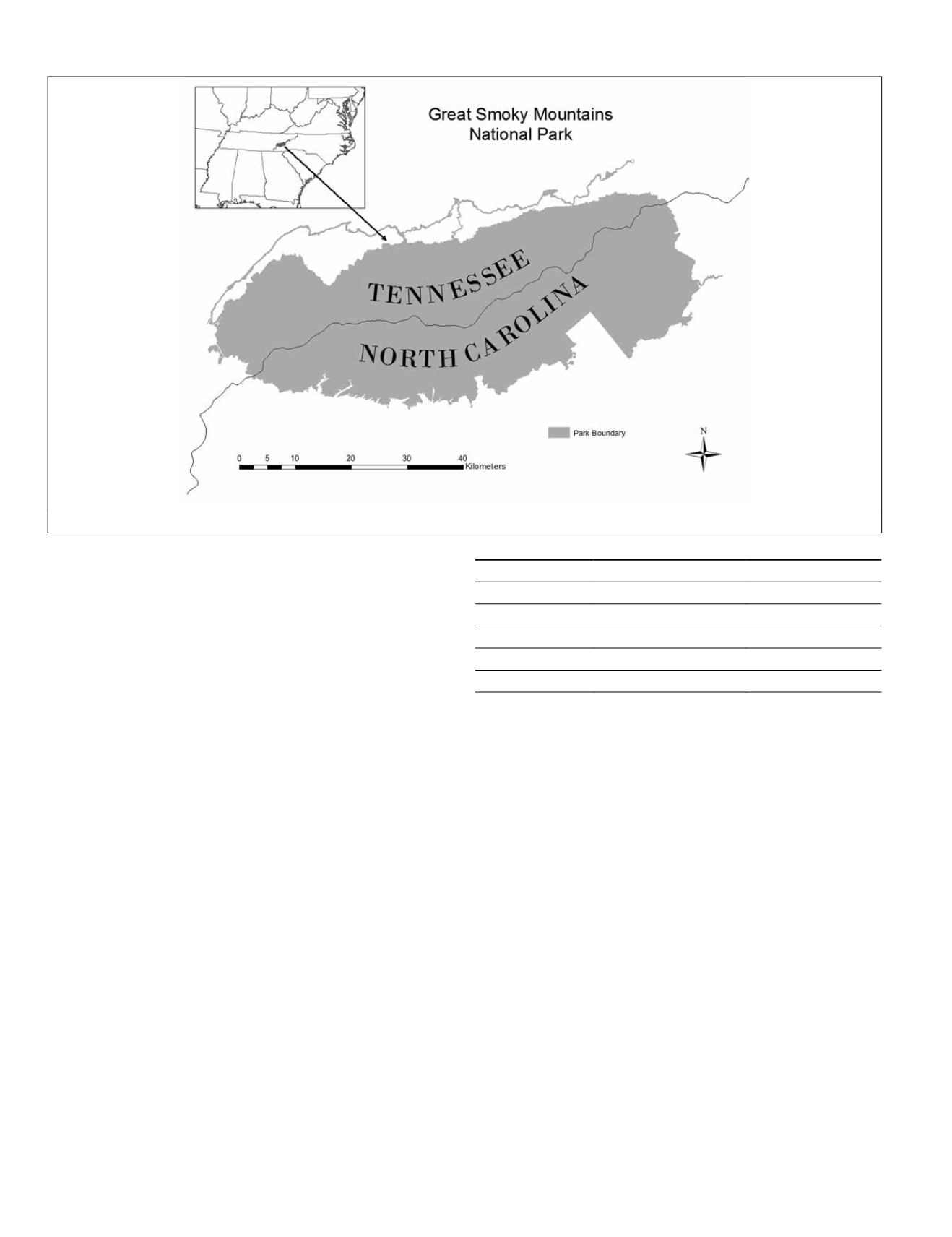
Figure 1. The Great Smoky Mountains National Park
408
May 2015
PHOTOGRAMMETRIC ENGINEERING & REMOTE SENSING


