Sentinel image time series can lead to significant gains in
classification accuracy. To take into account crop rotations in
crop mapping, two issues have to be addressed:
1. How to model the crop rotations?
2. How to integrate crop rotations in a land cover classifica-
tion process?
Two different approaches can be used to model rotations.
The first one uses
a priori
agronomist expert knowledge. The
second one consists in automatically learning crop rotations
from the statistical analysis of past practices, as found in the
LPIS
annual archives. This crop rotation knowledge can then
be modeled in a probabilistic framework by estimating the
transition probabilities between each crop type from past
years to the next. Castellazzi, Wood, Burgess
et al.
(2008) in-
troduced a mathematical framework modeling such transition
probabilities to predict crop rotations at the landscape scale.
Few studies have yet focused on the integration of crop rota-
tion information into classification pipelines. Osman, Inglada,
and Dejoux (2015) studied early crop mapping using Markov
logic, but not in combination to remote sensing observations.
This model proved efficient for early crop type predictions
at the beginning of the growing season, when few satellite
images are available and crops are hard to distinguish. Other
studies proposed to introduce a temporal structure using
Hidden Markov Chains in a classification pipeline but aimed
at modeling phenology instead of crop rotations (Aurdal,
Huseby, Eikvil
et al.
2005; Leite, Feitosa, Formaggio
et al.
2011; Siachalou, Mallinis, Tsakiri-Strati 2015). Kenduiywoa,
Bargiel, and Soergel (2015) modeled phenology information
into a conditional random field (CRF), but the classification
was performed at different dates through the year. The CRFs
were used for classifying land cover classes and crop types on
mono-temporal Landsat data (Roscher, Waske, Förstner 2017).
Hoberg, Rottensteiner, Feitosa
et al.
(2015) used CRF on multi-
temporal and multi-scale classification for change detection.
Objectives
This paper focuses on crop type prediction using
LPIS
and
crop rotation knowledge learned from Sentinel-1 and -2 time
series. This raises three main application and methodological
questions: (1) What are the respective contributions of optical
and radar time series for crop type prediction? (2) How to
combine crop rotation and satellite observations into a unified
classification pipeline? (3) What is the contribution of the tem-
poral structure with regard to observation-based classification?
To answer these questions, we propose a series of experi-
ments on the areas of interest using a detailed nomenclature
with 25 classes with no assumption on parcel sizes. We test
the contribution of both optical and radar time series sepa-
rately and jointly. We then compare the accuracy of classify-
ing these time series each year independently and integrating
the temporal structure into a probabilistic model (linear chain
CRFs) representing the influence of crop rotations.
This paper is organized as follows: we present the study
sites and data in the section “Sites and Material”. In the sec-
tion “Methodology”, an observation-based classification at
the parcel scale is presented, as well as a temporal-structured
framework to integrate crop rotation information. Results are
given and discussed in the sections “Results” and “Discus-
sion”, respectively.
Sites and Material
Study Sites
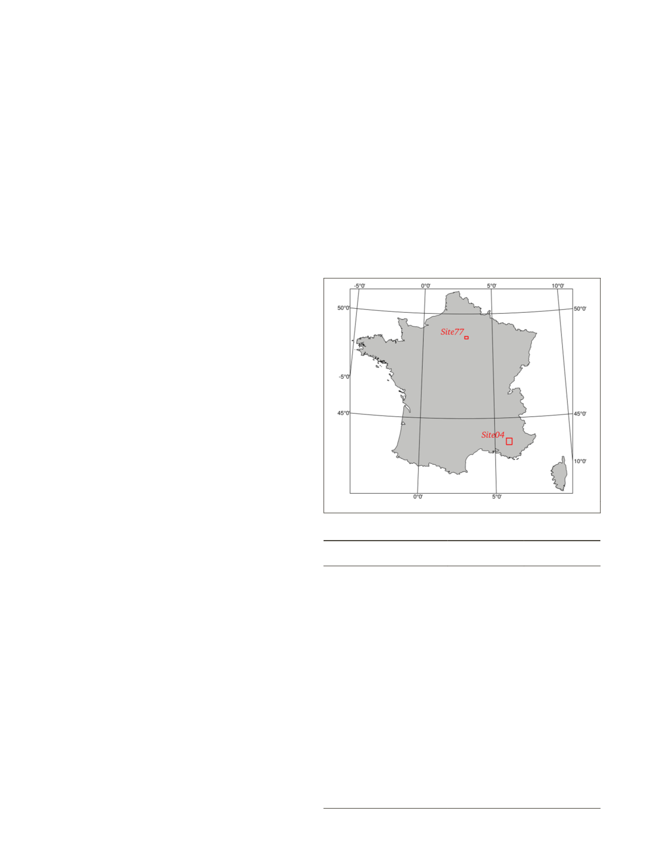
Two complementary sites were chosen in French territories.
Both sites are research observatories where in-field crop type
annotations are made annually. The location and charac-
teristics of each site are provided in Figure 1 and Table 1,
respectively. The site name refers to the national number
of the corresponding administrative department. Site04 is
located in South Eastern France, in the Alpes de Haute-
Provence region, in the Durance River Valley. It is a represen-
tative of Mediterranean cultivated areas. It covers 1050 km
2
and is characterized by a highly variable topography, a very
fragmented landscape, and a high diversity of crop types.
Site77 is located near Paris, in the Seine et Marne region. It
covers 233 km
2
. Contrary to Site04, it is characterized by a flat
relief, with large parcels and a majority of cereal crops. Figure
2 shows the distribution of parcel sizes on both sites. One
can see that Site04 is much more fragmented with very small
parcels, while Site77 has larger parcels reaching 20 ha.
Land Parcel Identification System
In France, the land parcel identification system (
LPIS
) is
called
registre parcellaire graphique
(
RPG
). It has been avail-
able for the whole territory since 2002. For cultivated areas,
the
RPG
gathers the geometric information (i.e., the parcel
Figure 1. Localization of Site04 and Site77.
Table 1. Comparison of both study sites in terms of areas and
crop types.
Class
No. parcels–
Site04
No. parcels–
Site77
Corn
147
350
Barley
517
158
Other cereals
2176
889
Rapeseed
154
85
Sunflower
293
X
Other oilseeds
116
X
Protein (peas)
87
76
Fiber plants
X
76
Forage crops
1215
46
Meadows
3652
725
Fruit trees
298
30
Vineyards
249
X
Olive groves
1029
X
Aromatic crops
1452
X
Vegetables
520
131
Total no. classes
14
10
Total no. stable parcels
(2015–2016)
9230
1902
Site area (km²)
1050
233
432
July 2020
PHOTOGRAMMETRIC ENGINEERING & REMOTE SENSING


