PHOTOGRAMMETRIC ENGINEERING & REMOTE SENSING
July 2020
395
PHOTOGRAMME TR I C ENG I NE ER I NG & REMOT E SENS I NG
The official journal for imaging and geospatial information science and technology
July 2020 Volume 86 Number 7
See the Cover Description on Page
Adam P. Spring
This article presents the origins and evolution of midrange terrestrial laser scanning (TLS), spanning
primarily from the 1950s to the time of publication. Particular attention is given to developments in
hardware and software that document the physical dimensions of a scene as a point cloud. These
developments include parameters for accuracy, repeatability, and resolution in the midrange—
millimeter and centimeter levels when recording objects at building and landscape scales up to
a kilometer away. The article is split into two parts: Part one starts with early space and defense
applications, and part two (PE&RS August 2020) examines the survey applications that formed
around TLS technologies in the 1990s.
Sébastien Giordano, Simon Bailly, Loic Landrieu,
and
Nesrine Chehata
Leveraging the recent availability of accurate, frequent, and multimodal (radar and optical)
Sentinel-1 and -2 acquisitions, this paper investigates the automation of land parcel identification
system (LPIS) crop type classification. Our approach allows for the automatic integration of
temporal knowledge, i.e., crop rotations using existing parcel-based land cover databases and
multi-modal Sentinel-1 and -2 time series. The temporal evolution of crop types was modeled with
a linear-chain conditional random field, trained with time series of multi-modal (radar and optical)
satellite acquisitions and associated LPIS. Our model was tested on two study areas in France (≥
1250 km2) which show different crop types, various parcel sizes, and agricultural practices: the
Seine et Marne and the Alpes de Haute-Provence classified accordingly to a fine national 25-class
nomenclature.
Changkun Yang, Zhaoqin Liu, Kaichang Di, Changqing Hu, Yexin Wang,
and
Wuyang Liang
With the development of light-field imaging technology, depth estimation using light-field cameras
has become a hot topic in recent years. Even through many algorithms have achieved good
performance for depth estimation using light-field cameras, removing the influence of occlusion,
especially multi-occlusion, is still a challenging task. The photo-consistency assumption does
not hold in the presence of occlusions, which makes most depth estimation of light-field imaging
unreliable. In this article, a novel method to handle complex occlusion in depth estimation of light-
field imaging is proposed.
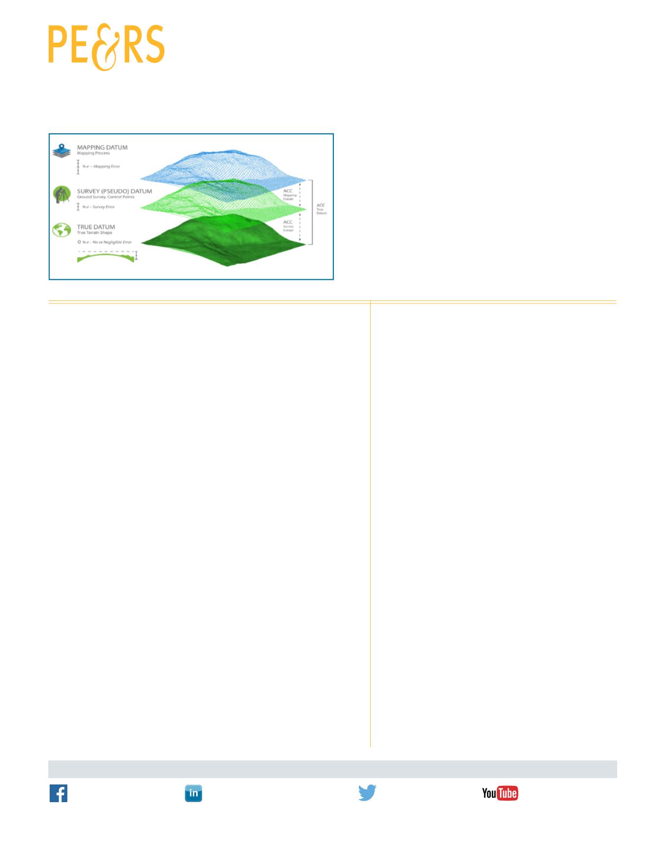
By Qassim Abdullah, Ph.D., PLS, CP
FEATURE
COLUMNS
This month we look at the Republic of Guinea.
ANNOUNCEMENTS
Join us in welcoming our newest members to ASPRS.
DEPARTMENTS


