PHOTOGRAMMETRIC ENGINEERING & REMOTE SENSING
July 2020
413
by
Clifford J. Mugnier, CP, CMS, FASPRS
T
he original inhabitants of Guinea were forced
out of the area around 900A.D., andnumerous
kingdoms were subsequently established.
By the mid 1400s, the Portuguese visited the area
and a slave trade was established. The area was
under active trade with the British, French, and
Portuguese in the 17
th
century; and the coastal
region was declared a French Protectorate in 1849.
Ad-ministered at various times by Senegal and the
Rivieres du Sud, the territory of French Guinea was
made a colony in 1893. The Federation of French
West Africa, which included Guinea as a member,
was established in 1895. Its status was changed
to that of an overseas territory in 1946, and on 02
October 1958, Guinea became the first state of the
former French West Africa to gain independence.
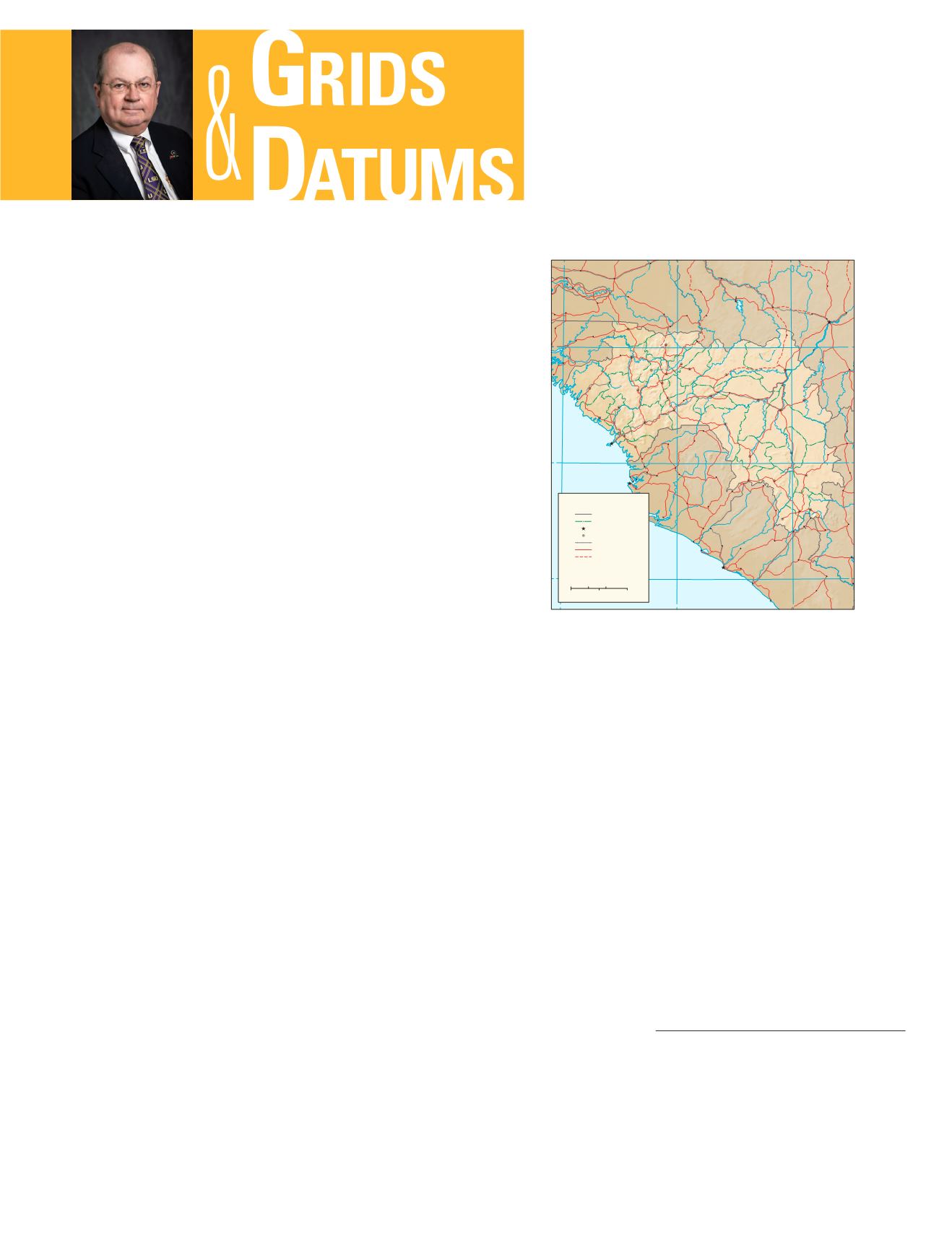
Guinea includes the Los Islands, an island group west of the
capitol city of Conakry. The seacoast is marshy and is about
274 km long; the interior rises to hilly and plateau regions.
The highest point is Mount Nimba (1,752 m), near the tri-
point with Côte d’Ivoire and Liberia. Going clockwise from
the north Atlantic Ocean to the west, Guinea shares borders
with Guinea-Bissau, Senegal, Mali, Côte d’Ivoire, Liberia,
and Sierra Leone. The Guinean maritime boundary is de-
fined in large part by a single, unique (in the world) Straight
Baseline. By Decree of the President of the Republic in 1964,
the limits of the territorial waters are fixed “to the north, by
parallel of altitude 10° 56´ 42.55˝ north, and to the south, by
parallel of altitude 9° 03´ 18˝ north, along a distance of 130
sea miles seaward, reckoning from a straight line passing by
the south-west of Sene Island of the Tristao group, and to
the south, by the south-west foreland (cape) of Tamara Is-
land, at low tide.” The boundary between Guinea and Guin-
ea-Bissau was established through a Franco-Portuguese
convention of 12 May 1886. The demarcation of the 384-km
The Grids & Datums column has completed an exploration of
every country on the Earth. For those who did not get to enjoy this
world tour the first time,
PE&RS
is reprinting prior articles from
the column. This month’s article on the Republic of Guinea was
originally printed in 2002 but contains updates to their coordinate
system since then.
REPUBLIC OF
GUINEA
boundary with straight lines between 58 markers and along
thalwegs of rivers was completed and ap-proved by 1906. In
1915 an
arrêté
(decision) by the Governor General of French
West Africa promulgated a French decree establishing a 328
km boundary between French Guinea and Senegal. Early
in 1934 an arrêté promulgated a decree of the previous De-
cember changing the French Guinea –Senegal boundary in
the sector between the head of the Tanague River and the
junction of the Bitari and Koïla Kabé. A Franco-Liberian
convention of 08 December 1892 delimited a boundary be-
tween the possessions of France (Côte d’Ivoire and French
Guinea) and Liberia inland from the mouth of the Cavalla
River to the tripoint with Sierra Leone. That 560 km bound-
ary with French Guinea was redrawn on 18 September 1907.
Further surveys and commissions settled the matter with
several
procès verbaux
(verbal proceedings) finally in 1926.
The Guinea-Sierra Leone boundary has a length of approx-
imately 648 km. Established by Anglo-French convention of
28 June 1882, a boundary was delimited from the Atlantic
N
i
g
e
r
N
i
g
e
r
Diani
Cavalla
B
a
o
u
l
é
B
a
o
u
l
é
B
a
f
i
n
g
G
a
m
b
i
e
B
a
k
o
y
e
F
a
l
é
m
é
B
a
k
o
y
e
K
o
g
o
n
Jong
Bagbe
B
a
f
i
n
g
Gbeya
M
a
n
o
S
e
w
a
Mongo
S
c
a
r
c
i
e
s
L
i
t
t
l
e
K
o
n
k
o
u
r
é
T
o
m
i
n
é
R
i
o
G
ê
b
a
N
i
a
n
d
a
n
T
i
n
k
i
s
s
o
Sankarani
S
a
i
n
t
P
a
u
l
S
a
i
n
t
J
o
h
n
B
a
f
i
n
g
NORTH
ATLANTIC
OCEAN
M
i
l
o
S
e
n
e
g
a
l
C
a
v
a
l
l
y
G
a
m
b
i
e
Manantali
Reservoir
B
a
o
u
l
é
B
a
k
o
y
e
12
9
15
12
9
15
12
9
6
12
9
6
M A L I
S E N E G A L
GUINEA-
BISSAU
SIERRA
LEONE
L I B E R I A
CÔTE
D'IVOIRE
THE
GAMBIA
Conakry
Freetown
Monrovia
Bamako
Mandiana
Kankan
Kita
Koulikoro
Bougouni
Samatigila
Odienné
Borotou
Touba
Man
Guiglo
Pyne Town
Taï
Buchanan
Robertsport
Sulima
RiverCess
Harbel
Zorzor
Sefadu
Kabala
Makeni
Kamsar
Boké
Sangarédi
Gaoual
Koumbia
Koundara
Mali
Koubia
Tougué
Labé
Pita
Tambacounda
Dialakoto
Vélingara
Farim
Gabú
Buba
Bafatá
Catió
Boffa
Fria
Kindia
Kamakwie
Falaba
Coyah
Kambia
Lunsar
Mange
Waterloo
Momaligi
Bonthe
Pepel
Kupr
Forécariah
Mako
Saraya
Kédougou
Dinguiraye
Dabola
Bissikrima
Faranah
Kouroussa
Siguiri
Niandakoro
Sisséla
Beyla
Lola
Yomou
Macenta
Dialafara
Bafoulabé
Goudiri
Mamou
Timbo
Dalaba
Kissidougou
Kérouané
Dubréka
Port Loko
Télimélé
Tubmanburg
Tapeta
Danané
Gbarnga
Voinjama
Guéckédou
Koumpentoum
Georgetown
Nzérékoré
New
Yekepa
Mansôa
Kolda
Diana
Malari
Niagassola
Kenema
Bo
Sanniquellie
Gahnpa
Kailahun
KassWollof
Kéniéba
Kali
Kolokani
Kangaba
Kangaré
Lélouma
Sukuta
Lungi
Magburaka
NowayCamp
Bong Town
Zwedru
Kati
Zimmi
Soukourala
Manantali
Négala
Manantali
Dam
dam
Guinea
LambertConformalConicProjection,SP7N/13N
International boundary
Préfecture boundary
National capital
Préfecture capital
Railroad
Road
Track
Préfectureshave the samenamesas theircapitals.
TheCapitaled’État -ZoneSpécialedeConakryhas
statusequal to thatof apréfecture.
0
50
100Miles
0
50
100Kilometers
Base802846AI (C00295) 2-02
Photogrammetric Engineering & Remote Sensing
Vol. 86, No. 7, July 2020, pp. 413–416.
0099-1112/20/413–416
© 2020 American Society for Photogrammetry
and Remote Sensing
doi: 10.14358/PERS.86.7.413


