PHOTOGRAMMETRIC ENGINEERING & REMOTE SENSING
March 2018
129
BOOK
REVIEW
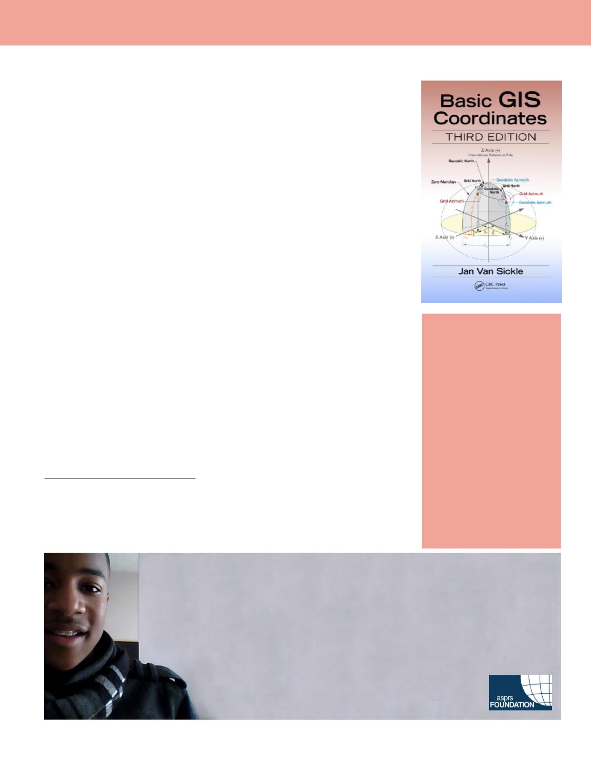
Basic GIS
Coordinates 3
rd
Edition.
Jan Van Sickle
CRC Press Taylor &Francis
Group, Boca Raton, 2017. Xii and
196 pp., Illustrated, Hardback.
ISBN:978-1-4987-7462
Reviewed by:
Esra Tekdal-
Yilmaz, Assistant Professor,
Surveying Engineering
Program, The Pennsylvania
State University, Lehman,
Pennsylvania.
This is a comprehensive and well-organized book covering the core concepts in Geographic
Information System (GIS) and Surveying, like Foundations of Coordinate Systems, Build-
ing a Coordinate System, Heights, State Plane Coordinate Systems 27 and 83 as well as
The rectangular System. Topics are clearly explained in a way that the reader can enjoy
learning.
The book contains mathematical formulas accompanied by term-by-term explanations
and supporting arguments. In the book, most of the formulas are followed by a numerical
example to make it clear to the reader. Examples given are informative and mostly sup-
ported by a figure or diagram.
The author covers the topics in an interesting way by using well-explained figures. In the
first chapter, author talks about the history and shape of the Earth explaining the Eratos-
thenes data, using detailed figures, which is actually the turning point for geodesy. This is
one most the most important topics ignored in GIS and Surveying profession.
The book is easy to read and compact. The author describes different ways to describe
a place by using different coordinate systems and how these different approaches result.
There is a lack of a textbook, covering the basic concepts of GIS coordinates. This book can
easily fill that gap.
The author mentions the European centesimal system in the first chapter while talking
about units, which is different from the American system, is a very interesting little detail.
This little detail gives the reader a sense of GIS and Surveying in Europe.
The multiple-choice questions at the end of each chapter are informative; especially the
explanation under each question clearly explains the correct answer and avoids any con-
fusion. The students and professionals can use this part of the book as a self-study guide.
The material presented in the book is accurate, and up to date. It is a very hard task to
keep everything up to date especially in the field of Coordinate systems in the USA, since
a big change is coming soon. The author explains all the topics listed in the content effec-
tively and treats each subject fairly. This is an excellent, practical book accomplishing its
objectives. This book does not have many competitors and can fill a void in the available
contemporary literature. It brings most of the vital concepts in GIS and coordinate sys-
tems together and explains them in an interesting and understandable way. I believe this
book can be used as a guidebook by most of the GIS users and Surveying professionals, and
take a good spot on their bookshelf.
Too young to drive the car? Perhaps!
But not too young to be curious about geospatial sciences.
The ASPRS Foundation was established to advance the understanding and use of spatial data for the
betterment of humankind. The Foundation provides grants, scholarships, loans and other forms of aid to
individuals or organizations pursuing knowledge of imaging and geospatial information science and
technology, and their applications across the scientific, governmental, and commercial sectors.
Support the Foundation, because when he is ready so will we.
asprsfoundation.org/donate
Photogrammetric Engineering & Remote Sensing
Vol. 84, No. 3, March 2018, pp. 129–129.
0099-1112/17/129–129
© 2018 American Society for Photogrammetry
and Remote Sensing
doi: 10.14358/PERS.84.3.129


