PHOTOGRAMMETRIC ENGINEERING & REMOTE SENSING
March 2018
131
by
Clifford J. Mugnier, CP, CMS, FASPRS
T
he Greeks and the Phoenicians settled Spain
on the southern and eastern coasts. TheMed-
iterranean coastal region was ruled by Car-
thage, which ceded it to Rome in 201
B. C.
Invaded
by Vandals in 409
A. D
., the Muslims of North Af-
rica conquered Toledo from 711-719. The last of the
Moors were expelled from Granada in 1492. Spain
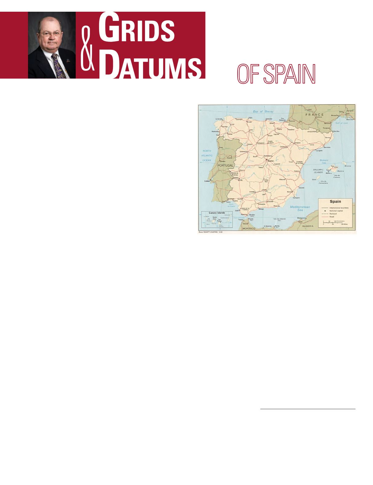
occupies the greater part of the Iberian Peninsula,
and the Kingdom claims the Balearic and Canary
Islands. Most of the pen-insula is plateau – averag-
ing 1,250 meters (4,100 feet).
Spain’s cadastre began in 1854, but the Law of Cadastre
established the way to perform the work in 1906. This was es-
sentially a rural method for taxation until 1964 when urban
areas of the Kingdom were brought into the cadastre.
The Spanish first-order triangulation of 1858-1885 consists
of ten principal arcs: the meridional arcs of Salamanca, Ma-
drid, Pamplona and Lerida; the parallel arcs of Palencia, Ma-
drid and Badajoz; and the diagonal arcs of the North, East
and South coasts. The origin of the Madrid Observatory Da-
tum of 1853 is
Φ
o
= 40° 24´ 29.70˝ North (after 20 years of
observations),
Λ
o
= 03° 41´ 14.546˝ West of Greenwich. The
defining azimuth was determined from the observatory to
station Hierro as:
α
o
= 154° 31´ 06.90˝ from south, and is ref-
erenced to the Struve 1860 ellipsoid where a = 6,378, 298.3
meters, and
1
/
f
= 294.73. However, the Spaniards did not use
Greenwich as a Prime Meridian at the time; they used Ma-
drid. Every country in Europe used their own Royal Observa-
tory as their national prime meridian back then. The original
triangulation comprised 235 triangles, which was observed
with Repsold, Pistor, Brunner and Kern theodolites. A poly-
hedric system of projection has been reported for the early
topo-graphic maps. In 1875, the Spanish Military adopted the
Lambert Con-formal Secant Conic Grid that has a Latitude
of Origin (
f
o
) = 40° 00´ North, a Scale Factor at Origin (m
o
) =
0.9988085293 and a Central Meridian (
l
o
) = 03° 41´ 14.546˝
THE KINGDOM
The Grids & Datums column has completed an exploration of
every country on the Earth. For those who did not get to enjoy this
world tour the first time,
PE&RS
is reprinting prior articles from
the column. This month’s article on The Kingdom of Spain was
originally printed in 2000 but contains updates to their coordinate
system since then.
West of Greenwich. The False Northing and False Easting
were both equal to 600 km. That Grid is still in use. However,
in 1880, the Military adopted a Bonne projection for the Itin-
erario Militar (military route map) with a Latitude of Origin
(
f
o
) = 40° 45´ North, a Scale Factor at Origin (m
o
) = 1.0 and
a Central Meridian (
λ
o
) = 04° 26´ 14.55˝ West of Greenwich.
That Bonne base re-mained in use until 1951 when the UTM
was adopted for all military applications in Spain.
During World War II, the Iberian Peninsula Lambert tan-
gent Zone was used by the Allied Forces. This Grid had a
Latitude of Origin (
f
o
) = 40° 00´ North, and a Central Me-
ridian (
λ
o
) = 03° 41´ 14.546˝ West of Greenwich. The False
Northing = 600 km, and the False Easting = 530 km. A lat-
er triangulation densification in 1930-33 was observed with
Wild T3 theodolites. During the war, the Germans developed
a series of computations for the Spanish Triangulation Net-
work referenced to the Clarke 1880 ellipsoid. After the war,
those German tables were useful in the re-computation of
the classical triangulation of the Kingdom onto the European
Datum of 1950 (ED50) which was referenced to the Interna-
Photogrammetric Engineering & Remote Sensing
Vol. 84, No. 3, March 2018, pp. 131–133.
0099-1112/17/131–133
© 2018 American Society for Photogrammetry
and Remote Sensing
doi: 10.14358/PERS.84.3.131


